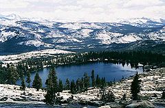
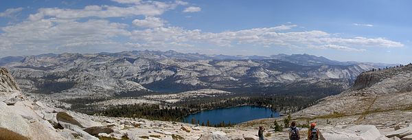
May Lake (Vancouver Island) — May Lake Location Vancouver Island, British Columbia Coordinates 48°56′05″N … Wikipedia
Lake Vozhe — Infobox lake lake name = Lake Vozhe image lake = caption lake = image bathymetry = caption bathymetry = location = Vologda Oblast coords = coord|60|35|22|N|39|5|33|E|type:waterbody region:RU source:ruwiki|display=inline,title type = inflow =… … Wikipedia
Lake Keret — Infobox lake lake name = Lake Keret image lake = Lake Keret NASA.jpg caption lake = from space image bathymetry = caption bathymetry = location = Republic of Karelia coords = coord|65.9166667|N|32.9333333|E|type:waterbody region:RU|display=inline … Wikipedia
Lake Caliraya — Infobox lake lake name = Lake Caliraya image lake = Lake Caliraya zoom.jpg caption lake = Landsat photo image bathymetry = caption bathymetry = coords = type = artificial lake inflow = outflow = catchment = basin countries = Philippines location … Wikipedia
Lake Leksozero — Infobox lake lake name = Lake Leksozero image lake = caption lake = image bathymetry = caption bathymetry = location = Republic of Karelia coords = coord|63.7666667|N|30.9666667|E|type:waterbody region:RU|display=inline,title type = inflow =… … Wikipedia
Lake Kagawong — Infobox lake lake name = Lake Kagawong image lake = Sunrise over lake kagawong.jpg caption lake = Sunrise image bathymetry = caption bathymetry = location = Manitoulin Island, Ontario coords = coord|45.833344|N|82.309914|W|region:CA… … Wikipedia
Lake St. Moritz — Infobox lake lake name = Lake St. Moritz St. Moritzersee Lej da San Murezzan image lake = St. Moritzersee 2006.jpg caption lake = image bathymetry = caption bathymetry = location = Engadin coords = coord|46|29|40|N|9|50|45|E|type:waterbody region … Wikipedia
Lake Compounce — Location Bristol, Connecticut, United States Coordinates … Wikipedia
May 21–26, 2011 tornado outbreak sequence — May 21–26, 2011 tornado outbreak EF4 tornado that struck Chickasha, Oklahoma. Date of tornado outbreak: May 21 – May 26, 2011 Duration1 … Wikipedia
Lake City — Lake City, AR U.S. town in Arkansas Population (2000): 1956 Housing Units (2000): 776 Land area (2000): 2.217830 sq. miles (5.744152 sq. km) Water area (2000): 0.000000 sq. miles (0.000000 sq. km) Total area (2000): 2.217830 sq. miles (5.744152… … StarDict's U.S. Gazetteer Places


