- Maitland, South Australia
-
Maitland
South Australia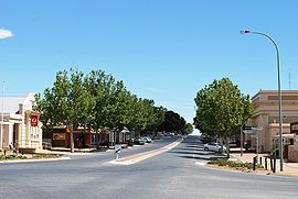
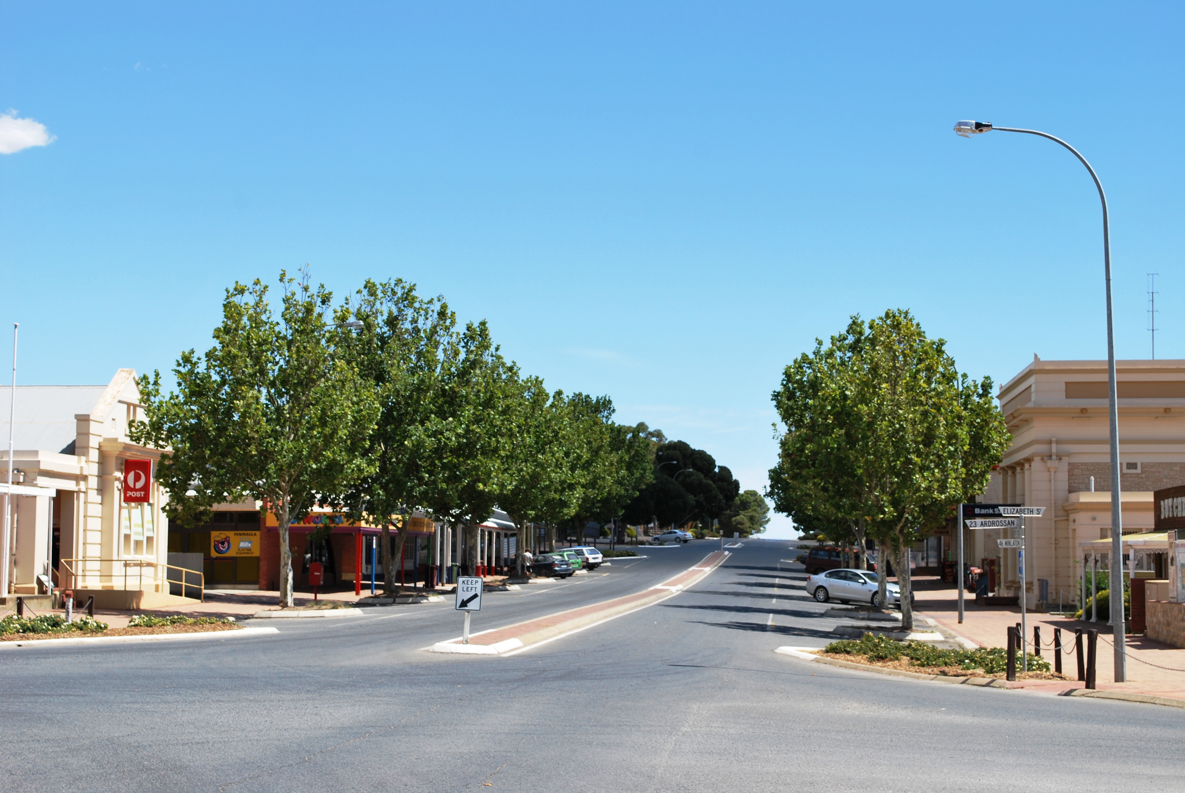
Robert St in Maitland
 Maitland
Population: 1,056 (2006 Census)[1] Established: 1872 Postcode: 5573 Coordinates: 34°22′S 137°40′E / 34.367°S 137.667°ECoordinates: 34°22′S 137°40′E / 34.367°S 137.667°E Elevation: 160 m (525 ft) Location: - 168 km (104 mi) west of Adelaide
- 164 km (102 mi) south of Port Pirie
- 50 km (31 mi) south of Kadina
- 46 km (29 mi) north of Minlaton
LGA: District Council of Yorke Peninsula State District: Goyder Federal Division: Grey Localities around Maitland: Moonta Arthurton Port Clinton Balgowan Maitland Ardrossan Port Victoria Minlaton Curramulka Maitland is a town in South Australia located 168 km west of Adelaide by road, 164 km south of Port Pirie and 46 km north of Minlaton known as the "heart of Yorke Peninsula" due to being near the center of the region. At the 2006 census, Maitland had a population of 1,056.[1]
Maitland is within a short driving distance of coastal towns on either side, with Port Victoria to the west and Ardrossan to the east, each within 25km.The town was named in 1872 after Lady Jean Maitland, the wife of the First Lord of Kilkerran, a family connection of the governor of South Australia at this time, Sir James Fergusson; the local aborigines calling it "madu waltu", meaning white flint.
Maitland has a grain receiving depot operated by AWB Limited, serviced only by road.[2] Maitland is also the home base of the Narungga Aboriginal Progress Association.
Maitland's urban design is patterned after Adelaide's central business district: a neat grid of streets surrounded on all four sides by parkland.
References
- ^ a b Australian Bureau of Statistics (25 October 2007). "Maitland (Urban Centre/Locality)". 2006 Census QuickStats. http://www.censusdata.abs.gov.au/ABSNavigation/prenav/LocationSearch?collection=Census&period=2006&areacode=UCL413800&producttype=QuickStats&breadcrumb=PL&action=401. Retrieved 26 September 2011.
- ^ "Maitland GrainFlow Centre". AWB Limited. http://www.awb.com.au/growers/awbgrainflow/grainflowcentres/Maitland.htm. Retrieved 2006-10-15.
External links
- Harvest Corner Website Yorke Peninsula Visitor Information Centre at Minlaton
Yorke Peninsula, South Australia Major Townships Ardrossan · Bute · Kadina · Maitland · Minlaton · Moonta · Paskeville · Port Broughton · Wallaroo · YorketownCouncils Islands Goose Island · Wardang IslandCategories:- Towns in South Australia
- Yorke Peninsula
- 1872 establishments in Australia
- South Australia geography stubs

Wikimedia Foundation. 2010.