- Yorke Peninsula
Infobox Australian Place | type = region
name = Yorke Peninsula
state = sa
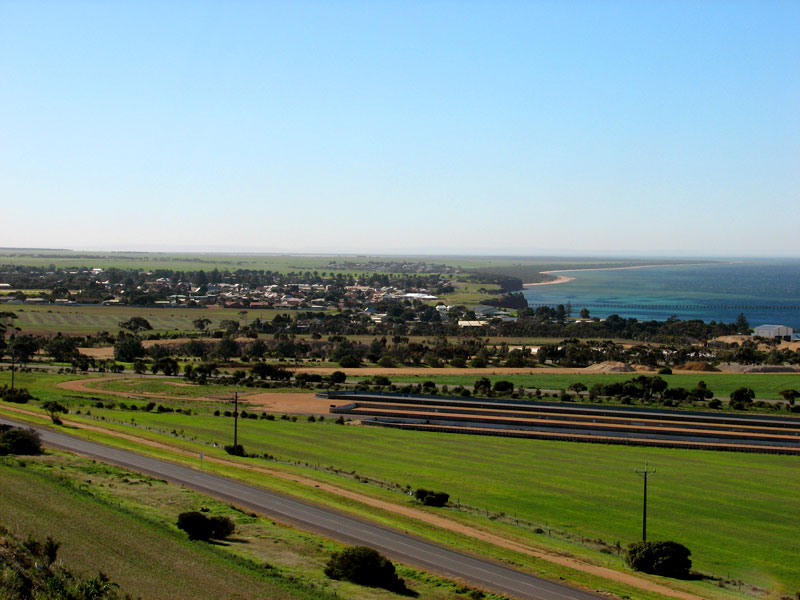
caption = The town of Ardrossan, located in Yorke Peninsula
pop = ~ 25,000
area =
est = 1840s

url = http://www.yorkepeninsula.com.au/
lga = District Council of Yorke Peninsula
lga2 = District Council of the Copper Coast
lga3 = District Council of Barunga West
stategov = Goyder
fedgov = Grey:"Yorke Peninsula is in South Australia, and should not be confused withCape York Peninsula , inQueensland ."The Yorke Peninsula is a peninsula located north-west and west of
Adelaide inSouth Australia ,Australia , betweenSpencer Gulf on the west and Gulf St. Vincent on the east. It hasgeographic coordinates of coord|34|21|S|137|37|E|region:AU-SA_scale:3000000. The peninsula is separated fromKangaroo Island to the southeast byInvestigator Strait .Before white settlement around 1840, Yorke Peninsula was the home to the
Narungga people. Today the descendants of these people still live on Yorke Peninsula, supported by the Narungga Aboriginal Progress Association in Maitland, and in the community at Point Pearce near the northern end ofGulf Saint Vincent .Principal towns include the
Copper Triangle towns of Kadina, Moonta and Wallaroo;farming centres of Maitland, Minlaton and Yorketown; and theport of Ardrossan. A number of smaller coastal towns are popular destinations for fishing and holidays, particularly from Adelaide. The south-western tip is occupied byInnes National Park .Yorke Peninsula is a major producer of grain, particularly
barley . Historically this has been sent out by sea because there are no rail services. Most coastal towns on the peninsula have substantialjetties . In the past these were used byketch es,schooner s, and latersteamships , to collect the grain in bags, and deliver fertiliser and other supplies. As roads in the region improved, and freight-handling techniques changed from bags to bulk, this became obsolete. A deep-water port was opened in 1970 near the south-eastern tip at Port Giles to export grain in bulk), and almost all the other ports ceased to be used for freight in the 1950s and 1960s. The only other ports with bulk-handling facilities are Wallaroo at the north-western side, and Ardrossan at the top ofGulf Saint Vincent , also used to shipdolomite from a nearby mine forOneSteel . Maitland has a grain-receiving depot operated byAWB , serviced only by road.Physiography
The area is also known as the Yorke Horst, which is distinct physiographic section of the larger
South Australian Shatter Belt province, which in turn is part of the larger West Australian Shield physiographic division.ee also
*
Copper Coast
*Kernewek Lowender External links
* [http://www.yorkepeninsula.com.au/ Yorke Peninsula Website]
* [http://www.southaustralia.com/YorkePeninsula.aspx SouthAustralia.com Yorke Peninsula - Travel Guides, Accommodation, Tours, Online Booking, Maps etc] Official SA Website
* [http://terraserver.com/imagery/image_gx.asp?cpx=137.4&cpy=-34.6&res=325&provider_id=340&t=pan Terraserver.com navigable satellite map of the Yorke Peninsula.]
* [http://www.yorkeregion.on.net/map.htm Map of Yorke Peninsula]
Wikimedia Foundation. 2010.