Port Giles, South Australia
- Port Giles, South Australia
Infobox Australian Place | type = locality
name = Port Giles
state = sa
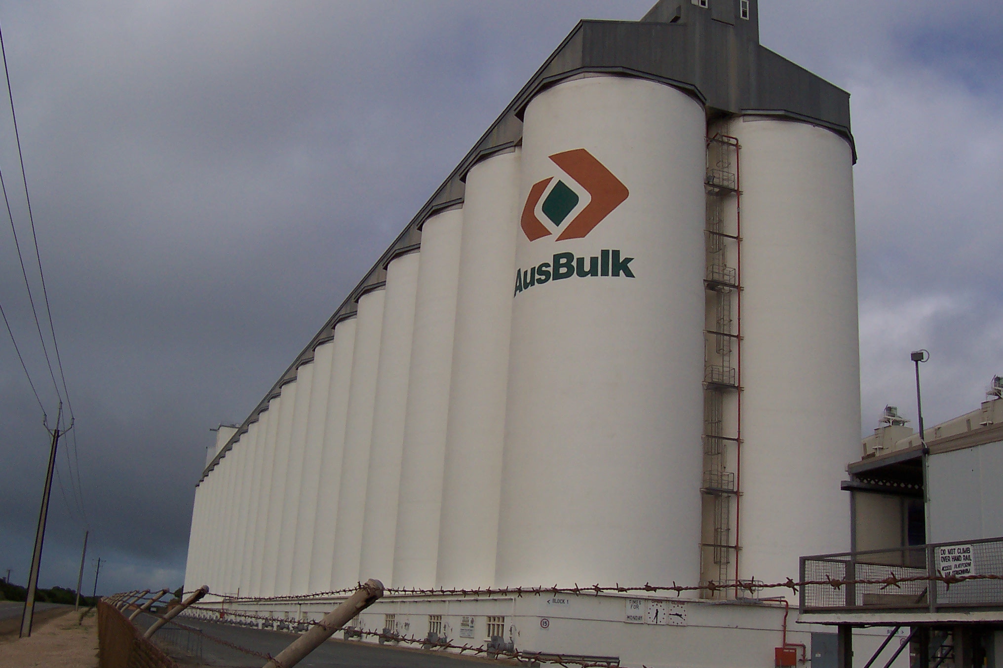
caption = Grain Silos at Port Giles
lga = District Council of Yorke Peninsula
postcode =
est = 1970
pop =
elevation=
maxtemp =
mintemp =
rainfall =
stategov = Goyder
fedgov = Grey
dist1 = 3
dir1 = south
location1= Wool BayPort Giles is the newest port on Yorke Peninsula in South Australia, between Stansbury and Edithburgh. Port Giles is not a town, but simply a large jetty equipped for bulk handling of grain, operated by Flinders Ports, and a similarly large grain storage facility operated by ABB Grain. It was opened by the then Premier of South Australia, Steele Hall in 1970, and led to the closure of many of the smaller ports on the peninsula. Port Giles was deliberately built to be able to handle bulk grain, and load it onto larger modern ships. Many of the other ports were not deep enough for larger ships, and could only be serviced by small ketches and coastal steamships. They only handled grain in bags, not in bulk.
External links
*cite web |url=http://www.flindersports.com.au/portfacilities7.html |publisher=Flinders Ports |title=Port Giles |accessdate=2008-08-05
Wikimedia Foundation.
2010.
Look at other dictionaries:
Lands administrative divisions of South Australia — The 37 counties of South Australia in 1886; later 12 more were proclaimed … Wikipedia
Leigh Creek, South Australia — Leigh Creek South Australia … Wikipedia
Wool Bay, South Australia — Infobox Australian Place | type = town name = Wool Bay state = sa caption = lga = District Council of Yorke Peninsula postcode = est = pop = 258 [ [http://www.censusdata.abs.gov.au/ABSNavigation/prenav/LocationSearch?locationLastSearchTerm=wool+ba… … Wikipedia
Cowell, South Australia — Cowell South Australia Main street of Cowell … Wikipedia
Whyalla, South Australia — Infobox Australian Place | type = city name = Whyalla state = South Australia caption = Location of Whyalla in South Australia (red lga = City of Whyalla postcode = 5600 [ [http://www1.auspost.com.au/postcodes/index.asp?Locality=Whyalla sub=1… … Wikipedia
List of postcodes in South Australia/numeric sort — Postcodes are used by Australia Post to identify postal districts in Australia. This list is sorted numerically to facilitate seeing which towns/suburbs share a postcode.5000s inner suburbs* 5000 Adelaide * 5001 GPO Boxes * 5005 University of… … Wikipedia
Beltana, South Australia — Infobox Australian Place | type = town name = Beltana state = sa caption = Beltana population since 1880 lga = Outback Areas Community Development Trust postcode = 5730 pop = 83 2006 Census [Census 2006 AUS | id = SSC43126 | name = Beltana (State … Wikipedia
List of cities and towns in South Australia — This is a list of town and locality names in South Australia outside of the metropolitan postal area of Adelaide.:For a list of suburbs in metropolitan areas of Adelaide, see lists inside following individual city council articles: City of… … Wikipedia
Ooldea, South Australia — Coordinates: 30°27′S 131°50′E / 30.45°S 131.833°E / 30.45; 131.833 … Wikipedia
Mintaro, South Australia — Mintaro South Australia Population … Wikipedia