- Connecticut Route 341
-
Route 341
Route information Maintained by ConnDOT Length: 15.97 mi[1] (25.70 km) Existed: 1932 – present Major junctions West end:  CR 3 in Dover, NY
East end:  US 202 in Washington
Highway system Routes in Connecticut
Special Service Roads • State Roads←  Route 337
Route 343  →
→Route 341 is a state highway in western Connecticut, running from the New York state line in Kent to Washington.
Contents
Route description
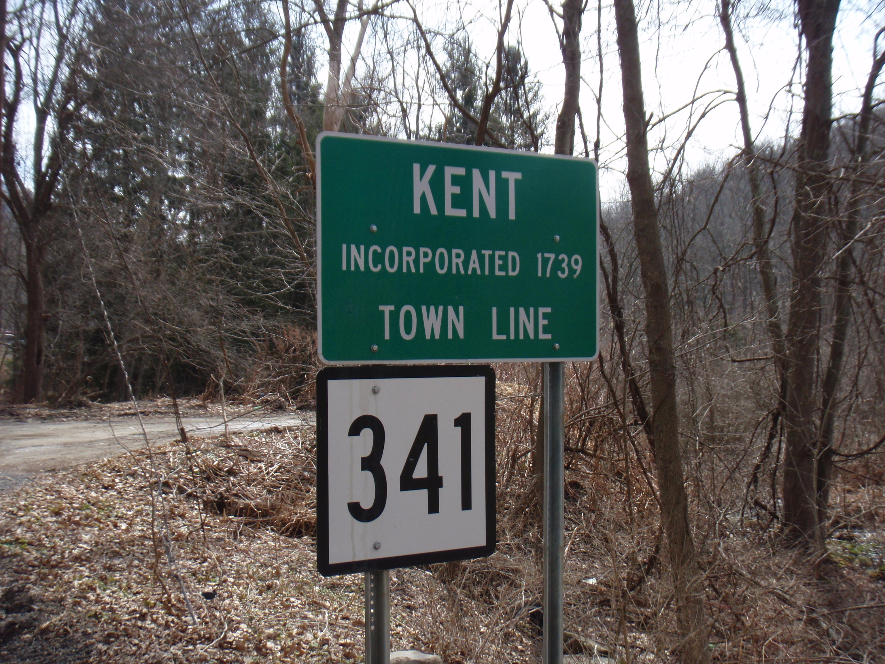
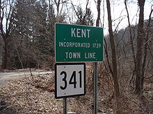 Route 341 heading into the town of Kent
Route 341 begins at an intersection with Bog Hollow Road at the New York state line in Kent and heads southeast along Bog Hollow Brook and Macedonia Brook. It crosses the Housatonic River and continues southeast, then turns east and northeast across the town into Warren. In Warren, it continues generally east to the center of town, then turns south for a long overlap with Route 45. After leaving Route 45, it turns southeast to the southeast corner of Warren and crosses into Washington. In Washington, it turns south to end at an intersection with US 202 by the Shepaug River in the Woodville section of town.[1]
History
Prior to 1932, the section west of US 7 was known as State Highway 127 and the section east of Route 45 was known as State Highway 299. Modern Route 341 was established as part of the 1932 state highway renumbering. Its number was chosen as a continuation of the already existing route number across the state line in New York. By 1962, New York turned over its Route 341 to Dutchess County and is now County Route 3. Route 341 in Connecticut has had no significant changes since its designation.[2]
Major intersections
The entire route is in Litchfield County.
Location Mile[1] Destinations Notes Kent 0.00 CR 32.80  US 7
US 7Warren 11.23  Route 45
Southern terminus of Route 45 12.89 Route 45Northern terminus of Route 45 Washington 15.97 US 2021.000 mi = 1.609 km; 1.000 km = 0.621 mi References
Categories:- State highways in Connecticut
- Transportation in Litchfield County, Connecticut

Wikimedia Foundation. 2010.