- Mungeranie, South Australia
-
Mungeranie
South AustraliaPopulation: 3 Coordinates: 28°01′7.28″S 138°39′48.02″E / 28.0186889°S 138.6633389°ECoordinates: 28°01′7.28″S 138°39′48.02″E / 28.0186889°S 138.6633389°E Time zone: • Summer (DST)
ACST (UTC+9:30) ACDT (UTC+10:30)
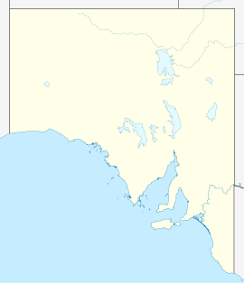
Location: 204 km (127 mi) N of Maree LGA: Outback Areas Community Development Trust State District: Stuart Federal Division: Grey Mungeranie or Mungerannie,[1] also called Mungerannie Hotel or Mungerannie Station, is a homestead on the Birdsville Track in northeastern South Australia.
Located 204 km north of Marree, South Australia and 313 km south of Birdsville, Queensland it is the only fuel and supplies depot on the Birdsville Track.
The name "Mungeranie" is Aboriginal for "big ugly face". [2]
The homestead is composed of a hotel/pub and an airstrip 500 m away. It stands on the edge of the Sturt Stony, Tirari, Simpson and Strzelecki Deserts, nestled beside the Derwent River that is a permanent waterhole fed by an artesian bore from the Great Artesian Basin.
References
- ^ "photo showing name "Mungerannie Hotel"". http://home.swiftdsl.com.au/~charliemann/deserttrek_files/Birdsv0007.jpg. Retrieved 2006-07-18.
- ^ Cockburn, Rodney (1990). South Australia:What's in a name. Axiom Publishing. p. 153. ISBN 0-9592519-1-X.
Categories:- Towns in South Australia
Wikimedia Foundation. 2010.

