- Civitella Messer Raimondo
-
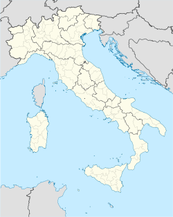
Civitella Messer Raimondo — Comune — Comune di Civitella Messer Raimondo Location of Civitella Messer Raimondo in Italy Coordinates: 42°5′N 14°13′E / 42.083°N 14.217°ECoordinates: 42°5′N 14°13′E / 42.083°N 14.217°E Country Italy Region Abruzzo Province Chieti (CH) Frazioni Calazzotto, Colle San Leonardo, La Fonte, Gallo, Vicenne, La Selva, Forconi, Laruccia, Piano Risorgimento Area - Total 12 km2 (4.6 sq mi) Elevation 613 m (2,011 ft) Population (2004) - Total 962 - Density 80.2/km2 (207.6/sq mi) Demonym Civitellesi Time zone CET (UTC+1) - Summer (DST) CEST (UTC+2) Postal code 66010 Dialing code 0872 Patron saint San Erasmo Saint day 2 June Website Official website Civitella Messer Raimondo is a comune and town in the Province of Chieti in the Abruzzo region of Italy
Notes and references
Categories:- Cities and towns in Abruzzo
- Communes of the Province of Chieti
- Abruzzo geography stubs
Wikimedia Foundation. 2010.

