- Mount Napier
-
 Mount Napier
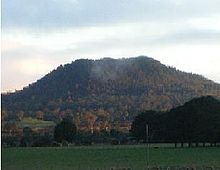
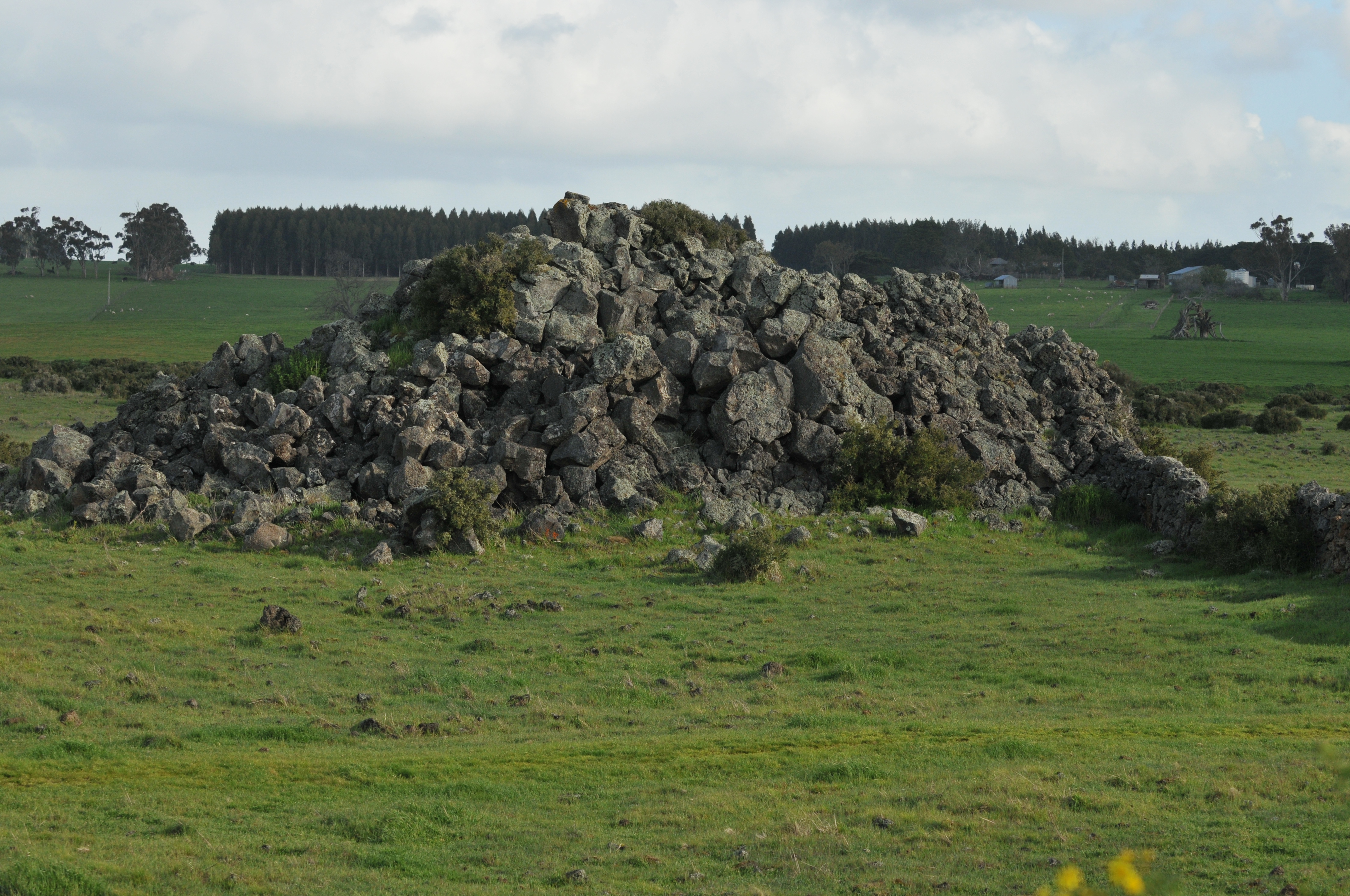
Coordinates: 37°53′38″S 142°03′32″E / 37.894°S 142.059°E Mount Napier in Victoria, Australia, one of the youngest volcanoes in Australia, last erupted about 5,290 BCE. Mount Napier State Park is located 270 kilometres west of Melbourne and 17 km south of Hamilton. The Mount Napier Lava Flow reached nearby Mount Eccles which is 25 km south-west of Mount Napier flowing along Harmans Valley just south of Byaduk North. The flow also created lava blisters or tumuli along the flow, creating mounds of basalt rocks. The blisters are unique in Australia and a rare occurrence in the rest of the world. They are formed by gas and heat from the lava pushing up against the crust. [1] Several caves and lava tubes can also be found at Byaduk.
Mount Napier has a composite lava shield with a superimposed scoria cone. The cone rises 500 feet (150 m) above the surrounding plains to an elevation of 1,440 feet (440 m), making it the highest point on the Western District Plains of Victoria. Mount Napier is part of the Newer Volcanics Province, which is the youngest volcanic centre in Australia. The Newer Volcanics Province covers an area of 6,000 square miles ( 15,000 square km) and contains over 400 vents.
Contents
Gallery
-
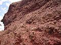
Scoria from Mount Napier
-
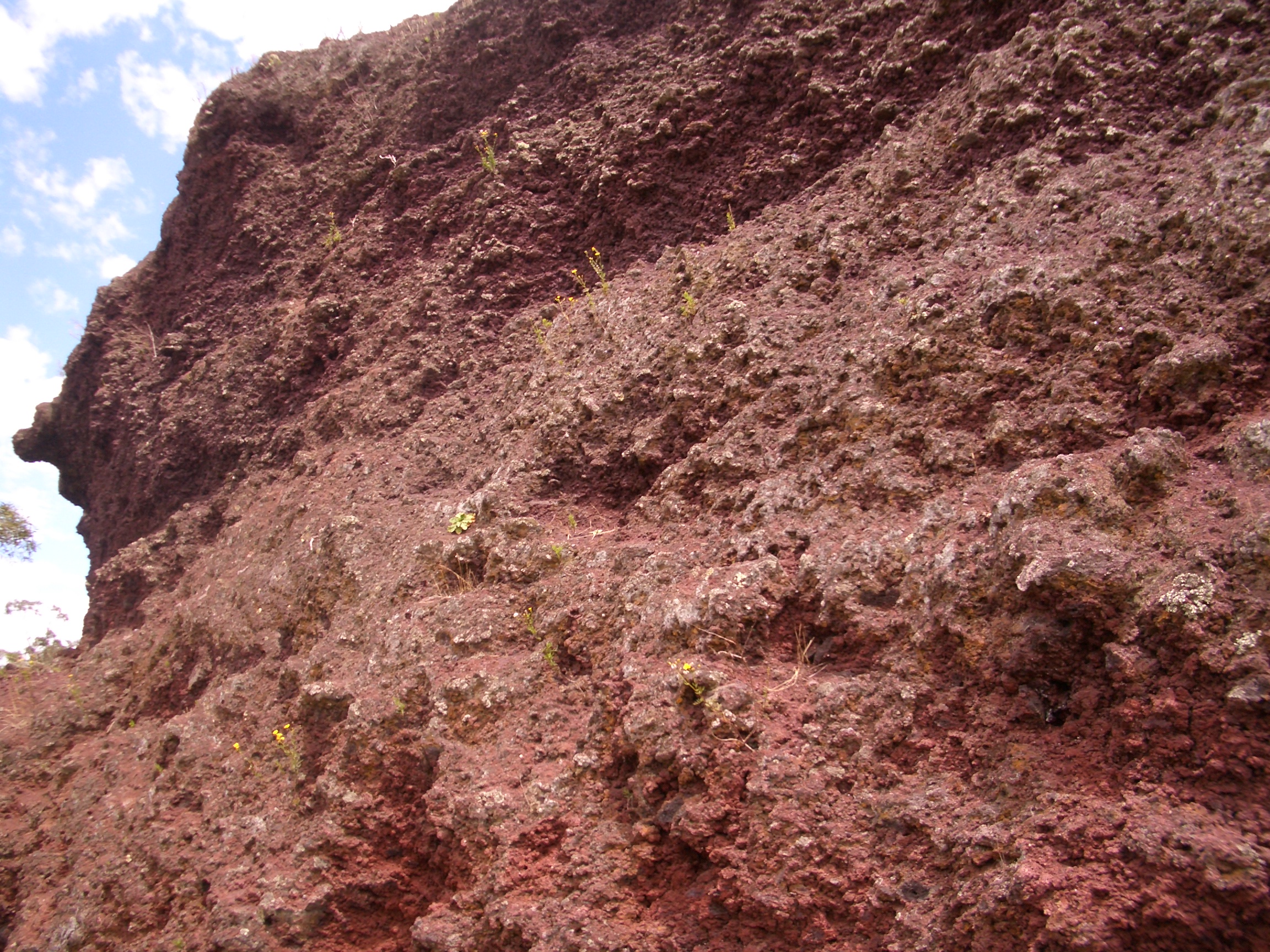
Close view of the volcanic rim
-

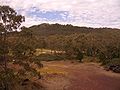
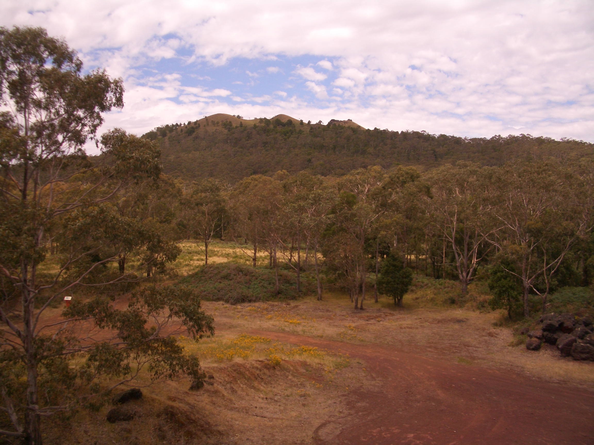
Harmans Valley to Mount Napier
-
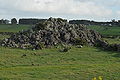
Tumuli - lava blisters
See also
References
External links
Categories:- Mountains of Victoria (Australia)
- Volcanoes of Victoria (Australia)
- Inactive volcanoes
- Victoria (Australia) geography stubs
-


Wikimedia Foundation. 2010.