- Cottonwood Canyon Road
-
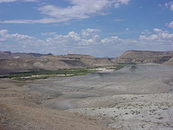 View when entering Cottonwood Canyon from the south after passing over higher elevations from US-89. The road follows the Paria River for the first several miles then continues to the north along an eroded geologic fault adjacent to the Cockscomb.
 Along the fault - view south at a terrain transition point where the south portion of the road road shifts from the major valley and its powerlines to an adjacent and parallel minor valley
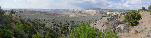
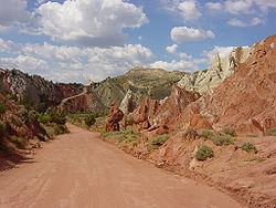 View north at the same location
Road 400 (Cottonwood Canyon Road) is a scenic 47 mile dirt road connecting U.S. Highway 89 with Utah S.R 12 at Cannonville. It traverses portions of Grand Staircase-Escalante National Monument offering a unique view into the heart of the Monument. The only other road (Smoky Mountain Road) crossing the entire Grand Staircase is also unpaved, nearly twice as long, and requires at a minimum a high clearance vehicle.
Road 400 is a reasonably good quality dirt road (mostly sand and clay over a sandstone foundation) during dry weather. If the road has been recently graded it may be suitable for passenger cars, however high clearance vehicles are recommended.
Originally constructed as a maintenance road for power lines following the canyon, it is considered impassable in wet weather. Many sections traverse ancient seabed deposits of mudstone, silt, and shale. When wet the clay surface becomes exceptionally slick, rendering even four wheel drive useless. Additionally many drainages cross the road in various locations, and these may wash out during periodic flash flooding, particularly during summer thunderstorms.
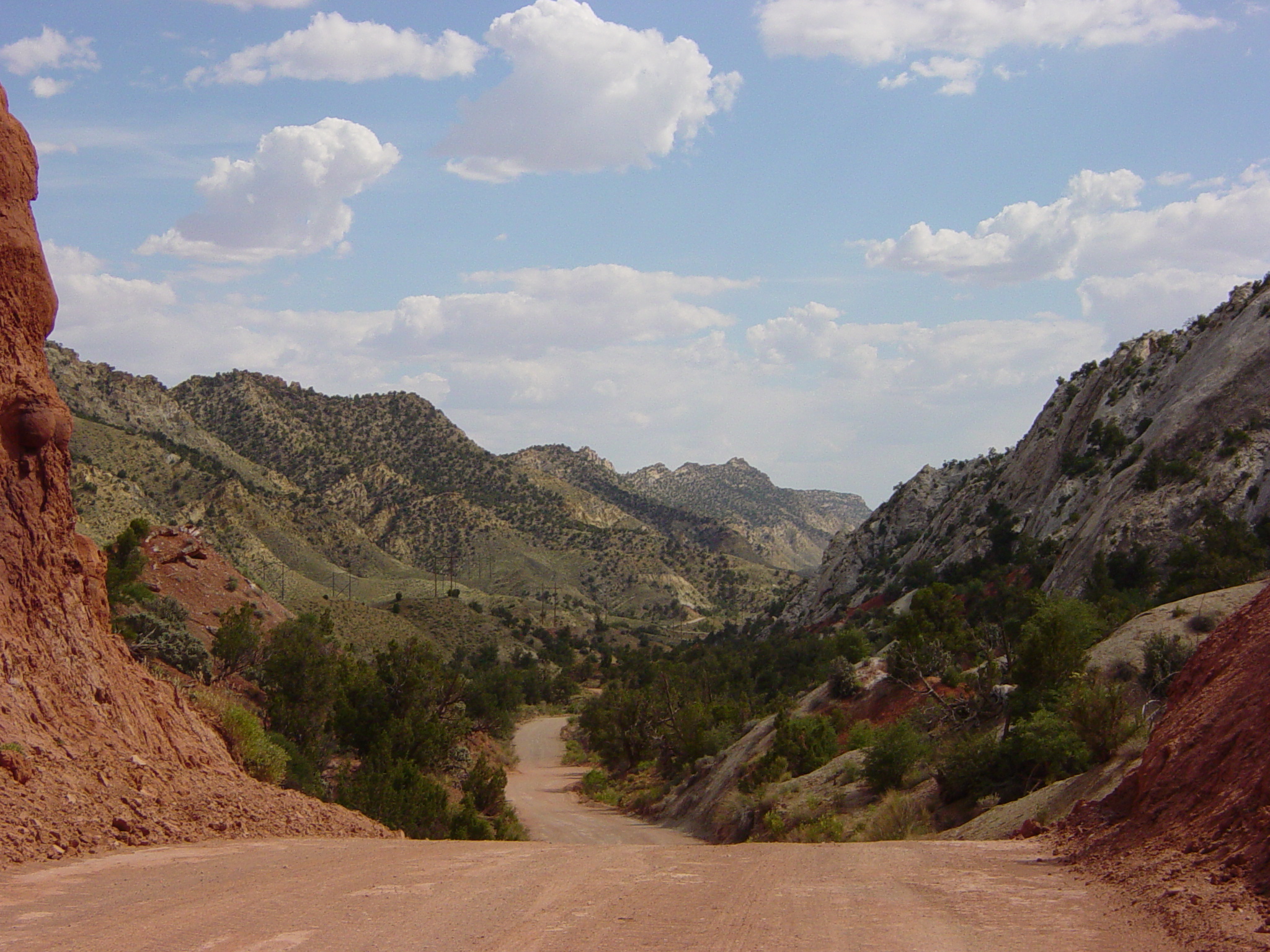
Patient drivers of this road will be rewarded with a closer look at spectacular natural features, including one known as the Cockscomb. Topography here is on a more intimate scale, and formations are varied and colorful. Additionally there are notable hiking trails accessed along the route such as Hackberry Canyon, the Cottonwood Narrows, and Round Valley Draw. Other attractions located on the northern end of the road include Grosvenor Arch and Kodachrome Basin State Park.
There are no services available along the route except at Cannonville on the northern end. Carry food, extra water and emergency supplies before traveling this road. Avoid this route if significant rain or accumulating snow are in the forecast, and always check road conditions at any one of the various BLM offices in the region before setting out.
External links
- USA-Reporter.com Actual road conditions of 23 backroads at GSENM including CCR. Abstract in German, complete version as pdf in English
Categories:- Roads in Utah
- Transporation in Kane County, Utah


Wikimedia Foundation. 2010.