- Gitlakdamix, British Columbia
-
Gitlakdamix
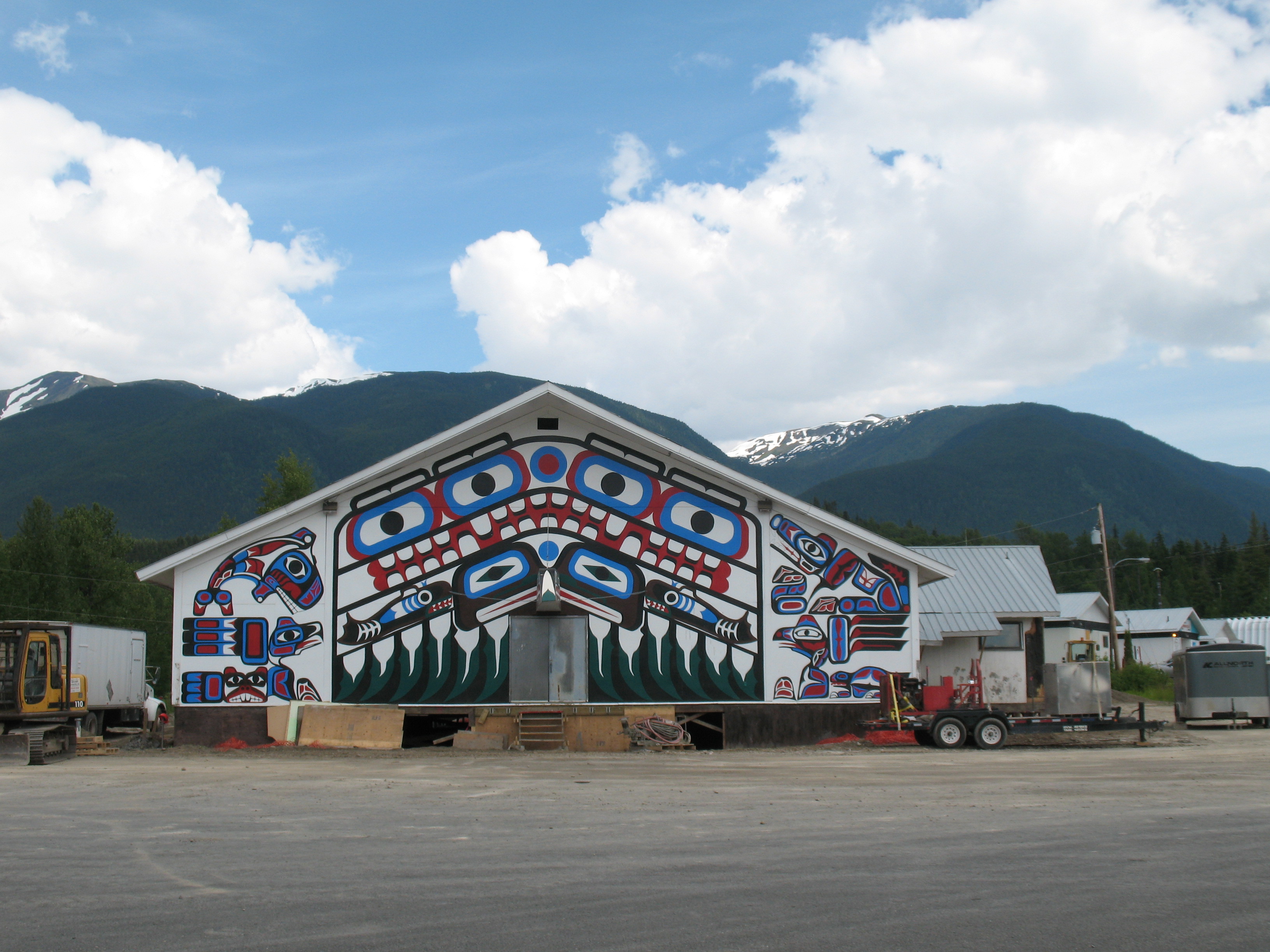
New Aiyansh Traditional Community Building in Gitlakdamix
 Location of Gitlakdamix in British Columbia
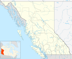
 Gitlakdamix
Coordinates: 55°12′22″N 129°4′47″W / 55.20611°N 129.07972°W Country Canada Province British Columbia Established 1974 Government - Governing body Nisga'a Lisims Government Population - Total 806 Time zone PST (UTC−8) - Summer (DST) PDT (UTC−7) Postal code VOJ 1A0 Area code(s) 250
Gitlakdamix or Gitlaxt'aamiks or New Aiyansh is a Nisga'a Village about 100km north of Terrace, in the heart of the Nass River valley, Canada. It is one of four Nisga'a villages. Though it is located in British Columbia, it is also considered the "capital of the Nisga'a Nation." The Nisga'a Lisims Government building (Wilp si'Ayuukhl Nisga'a), which opened in 2000, is located here. The area is home to 806 people and the Nisga'a Memorial Lava Beds Provincial Park. Gitlakdamix is located overlooking a lava flow that erupted in the 18th century. The source for this lava flow was the Tseax Cone.In front of the Nisga'a Elementary/Secondary School stands the Unity Totem Pole which, raised in 1977, was the first totem pole raised in the Nass Valley since the late 19th century.[1]
Contents
Name origin
Gitlakdamix means "people of the ponds" in the Nisga'a language.[2]
The name New Aiyansh was established in 1974. Though the name Aiyansh was originally at a location 3 miles to the northeast, maps now show both Aiyansh and New Aiyansh at the modern location. The original Aiyansh was partly destroyed by flood in November 1917 and the community moved to Gitlaxt'aamiks. A later flood in this community led to relocation to the higher site which became New Aiyansh in the late 1960s.[3][4][5]
New Aiyansh was formerly New Aiyansh Indian Reserve No. 1, which was extinguished by the Nisga'a Treaty as of May 11, 2000.[6] The location of "old" Aiyansh was formerly Aiyansh Indian Reserve 1, also extinguished by the terms of the Nisga'a Treaty like all other Nisga'a-related Indian Reserves.[7]
Education
The community is served by School District 92 Nisga'a and hosts Nisga'a Elementary Secondary School. This school provides elementary school education for this village and secondary school education to all four Nisga'a Villages in the Nass Valley. The offices of the School District are located here.
Capital of the Nisga'a Nation
 The Nisga'a Lisims Government Buidling and forecourt in 2000 (before final completion
 Dedication ceremonies for the new Nisga'a Lisims Governmeng Builing in 2000
 The Chamber, eliptical in form to support consensus-style of governing, with the Speaker located at the head and a stand for the "talking stick".
The legislative functions and administrative offices of the government of the Nisga'a Nation, the Wilp si'Ayuukhl Nisga'a, are located in the Nisga'a Lisims Government Building. This new facility was completed around the time of the signing of the Nisga'a Final Agreement. Its dedication was in September, 2000. It houses the Council Chamber, executive offices, meeting rooms, legal services, archives, and various public administrative services.
External links
- Nisga'a Lisims Government
- Nisga'a Lisims - village website
- School website
- Nisga'a Knowledge Network
- Photos
- Photos of 10th anniversary of Nisga'a Treaty celebrations
- Totem poles among rooftops, Gitlakdamix, British Columbia, 1905, U Wash. Library Collection
- City-Data information
References
- ^ "New Aiyansh", Northern BC Tourism Association Website
- ^ "Gitlakdamiks". Encyclopedia of British Columbia (2000), Harbour Publishing.
- ^ BCGNIS entry for "New Aiyansh (locality)"
- ^ BCGNIS entry "Aiyansh (locality)"
- ^ BCGNIS entry "Aiyansh (Post Office)"
- ^ BCGNIS entry "New Aiyansh Indian Reserve 1"
- ^ BCGNIS entry "Aiyansh Indian Resrve 1"
Categories:- Nisga'a Villages
- Nass Country
- British Columbia stubs


Wikimedia Foundation. 2010.