- Central Darling Shire Council
Infobox Australian Place | type = lga
name = Central Darling Shire Council
state = nsw
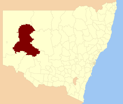
caption = Location inNew South Wales
pop = 2,418
density = 0.05
area = 53511
est =
seat = Wilcannia (21 Reid Street)
mayor = Raymond Longfellow
region = Far West
url = http://www.centraldarling.nsw.gov.au/
stategov = Murray-Darling
fedgov = Parkes
near-nw =Unincorporated Far West
near-n =Unincorporated Far West
near-ne = Bourke
near-e = Cobar
near-w =Unincorporated Far West
near-sw = Wentworth
near-s = Balranald
near-se = CarrathoolCentral Darling Shire is a Local Government Area (LGA) in the Far West of
New South Wales ,Australia on theBarrier Highway . Central Darling Shire was constituted in 1959 and it is the largest Local Government Area in New South Wales.Incomes
According to the [http://www.abs.gov.au Australian Bureau Statistics] [cite web
publisher =Australian Bureau of Statistics
title=Regional Wage and Salary Earner Statistics, Australia (catalogue no.: 5673.055.003)
url = http://abs.gov.au
accessdate = 2007-03-11 ] during 2003-04, there:
- were 509 wage and salary earners (ranked 162nd in New South Wales and 525th in Australia, less than 0.1% of both New South Wales's 2,558,415 and Australia's 7,831,856)
- was a total income of $17,505,253 (around $18 million) (ranked 159th in New South Wales and 522nd in Australia, less than 0.1% of both New South Wales's $107,179,688,262 (around $107 billion) and Australia's $304,034,755,876 (around $304 billion))
- was an estimatedaverage income per wage and salary earner of $34,391 (ranked 82nd in New South Wales and 268th in Australia, 83% of New South Wales's $41,407 and 89% of Australia's $38,820)
- was an estimatedmedian income per wage and salary earner of $31,477 (ranked 84th in New South Wales and 284th in Australia, 89% of New South Wales's $35,479 and 92% of Australia's $34,149).Main towns/villages
It includes the towns of Ivanhoe, Menindee, Wilcannia and White Cliffs.
Economic activity
The principle economic activities within the Shire include pastoral, horticultural, agricultural, mining and tourism. Rural grazing properties represent the largest land use within the Shire, accounting for 97% of the entire area. Major horticultural and agricultural production is centred on Menindee. The relative ease of access to water from the Darling River and Menindee Lakes Storage Scheme enables producers to grow a large variety of crops and fruits.
Opal mining has been the predominant mining industry within the Shire. Opal was discovered in White Cliffs in 1884 and the first commercial opal field commenced operation in 1890, reaching its peak in 1899. (from the Council web site)
References
Wikimedia Foundation. 2010.