- Delaware Seashore State Park
-
Delaware Seashore State Park Delaware State Park 
Named for: The Delaware shoreline Country United States State Delaware County Sussex Location - coordinates 38°39′00″N 75°03′59″W / 38.65°N 75.06639°WCoordinates: 38°39′00″N 75°03′59″W / 38.65°N 75.06639°W - elevation 13 ft (4 m) Area 2,825 acres (1,143 ha) Founded 1965 Managed by Delaware Department of Natural Resources and Environmental Control 
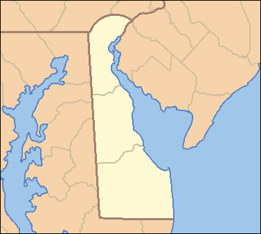
 Location of Delaware Seashore State Park in Delaware
Website : Delaware Seashore State Park Delaware Seashore State Park is located near Dewey Beach, in Delaware, United States. It is bounded on the east by the mighty Atlantic Ocean and on the west by Rehoboth Bay and Indian River Bay. The park covers 2,825 acres (1,143 ha). It is a major attraction for millions of visitors who enjoy the large variety of water-related activities available along Delaware's coast. The State Park Commission (now the Division of Parks and Recreation) began operating Delaware Seashore State Park in 1965.
Nearby state parks
The following state parks are within 30 miles (48 km) of Delaware Seashore State Park:
- Assateague State Park (Maryland)
- Cape Henlopen State Park (Sussex County)
- Cape May Point State Park (New Jersey)
- Fenwick Island State Park (Sussex County)
- Holts Landing State Park (Sussex County)
- Killens Pond State Park (Kent County)
- Trap Pond State Park (Sussex County)
Federal OtherState Alapocas Run • Auburn Heights • Bellevue • Brandywine Creek • Cape Henlopen • Delaware Seashore • Fenwick Island • First State • Fort Delaware • Fort DuPont • Fox Point • Holts Landing • Killens Pond • Lums Pond • Trap Pond • White Clay Creek • Wilmington
Blackbird • Redden • TaberAssawoman • Augustine • Blackbird Reserve • Blackiston • C&D Canal • Cedar Swamp • DNERR Blackbird Reserve Tract • Industrial Forest Lands • Little Creek • Marshy Hope • McGinnis Pond • Midlands • Milford Neck • Nanticoke • Norman G. Wilder • Oakie Preserve - Popular Thicket Farm • Old Furnace • Prime Hook • St. Jones DNERR Property • Ted Harvey Conservation Area • Urban Archery Only Area • Woodland Beach
OtherCounty County ParksIron Hill Park • Middle Run Valley Natural Area
Categories:- Delaware state parks
- Protected areas established in 1965
- Parks in Sussex County, Delaware
- Delaware geography stubs

Wikimedia Foundation. 2010.