- Morris Reservoir
-
Morris Reservoir 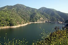
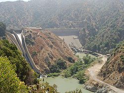
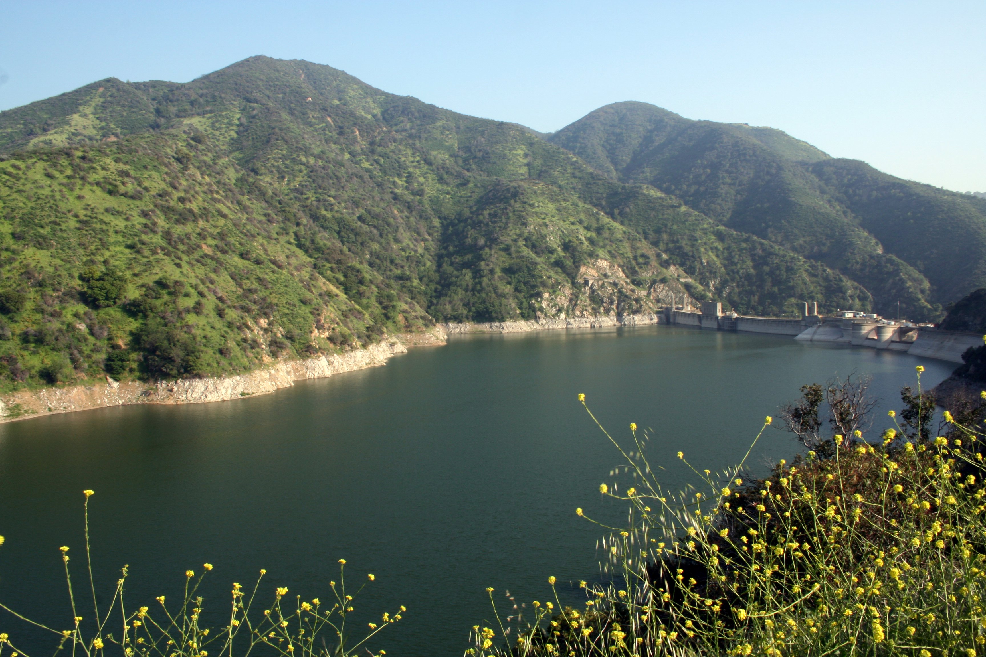
Location Angeles National Forest, Los Angeles County, California, USA Coordinates 34°10′27″N 117°52′49″W / 34.17417°N 117.88028°WCoordinates: 34°10′27″N 117°52′49″W / 34.17417°N 117.88028°W Lake type reservoir Basin countries United States Surface elevation 1,400 ft (430 m) Morris Reservoir is located in the San Gabriel Mountains about 5 miles north of the city of Azusa along California State Route 39. Morris Reservoir is below San Gabriel Dam. The mean elevation is about 1100 ft. The Morris Dam was completed in May 1934 and is a concrete, partially arched gravity structure rising 245 feet above the original stream bed.


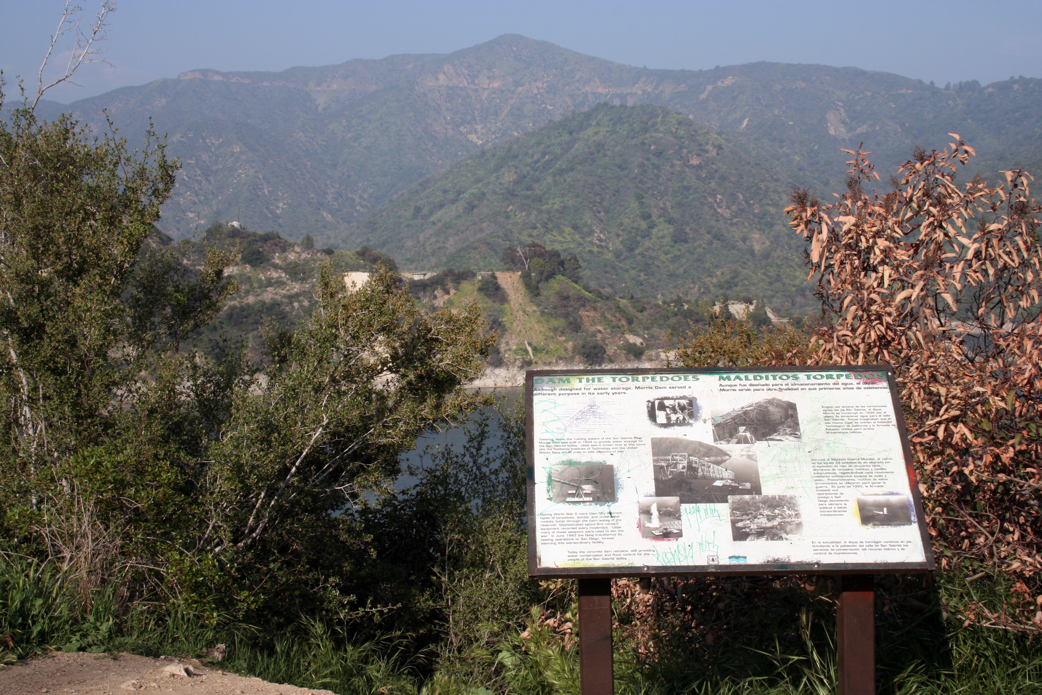
This site was a naval weapons test facility from World War II, and was transferred to the Department of Public Works in 1995. It was established by Caltech, which was developing weapons for the Navy at its Naval Ordnance Test Station at Ridgecrest, California (which today is known as the China Lake Naval Weapons Center, and which is still the primary proving ground for naval weapons systems). Because there is no lake to speak of at China Lake, Caltech opened this substation at the Morris Reservoir, in the San Gabriel Mountains, north of Azusa. This site was used especially for the development of submarine-based warfare systems, including torpedoes, bombs, and submarine-launched missiles like the Polaris rocket, the first ballistic missile that could be launched from submerged submarines. Most of the buildings at the site have been removed, and the site is being restored to a "natural" state, and may once again be open to the public.
External links
 Morris Dam
- U.S. Geological Survey Geographic Names Information System: Morris Reservoir
- The Caltech Archives: Morris Dam reservoir, San Gabriel Mountains
- Morris Dam Water Supply Enhancement Project Final Initial Study and Mitigated Negative Declaration
- Morris Dam valve leakage photo
- Morris Dam data
Categories:- Reservoirs in California
- San Gabriel Mountains
- Lakes of Los Angeles County, California
- Buildings and structures in Los Angeles County, California
- Los Angeles County, California geography stubs

Wikimedia Foundation. 2010.