- Chew Valley, Greater Manchester
-
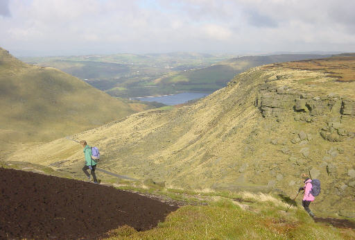
Chew Valley, Greater Manchester 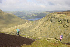
Location Greater Manchester Coordinates 53°31′N 1°57′W / 53.51°N 1.95°WCoordinates: 53°31′N 1°57′W / 53.51°N 1.95°W Lake type Reservoir Primary inflows Chew Clough, Green Grain, Dry Clough, South Clough Primary outflows Chew Brook Basin countries United Kingdom Chew Valley is a valley within the Saddleworth parish of the Metropolitan Borough of Oldham, in Greater Manchester, England. It follows the path of Chew Brook from the western slopes of Black Chew Head down to where it joins the Tame Valley at Greenfield, several miles to the east of Manchester.
The Chew Reservoir was once seen as a notable feat of engineering. Construction began in the beginning of the 20th Century and was completed in 1912. At 1,600 feet or 488 metres above sea level, it was the highest constructed reservoir in England.
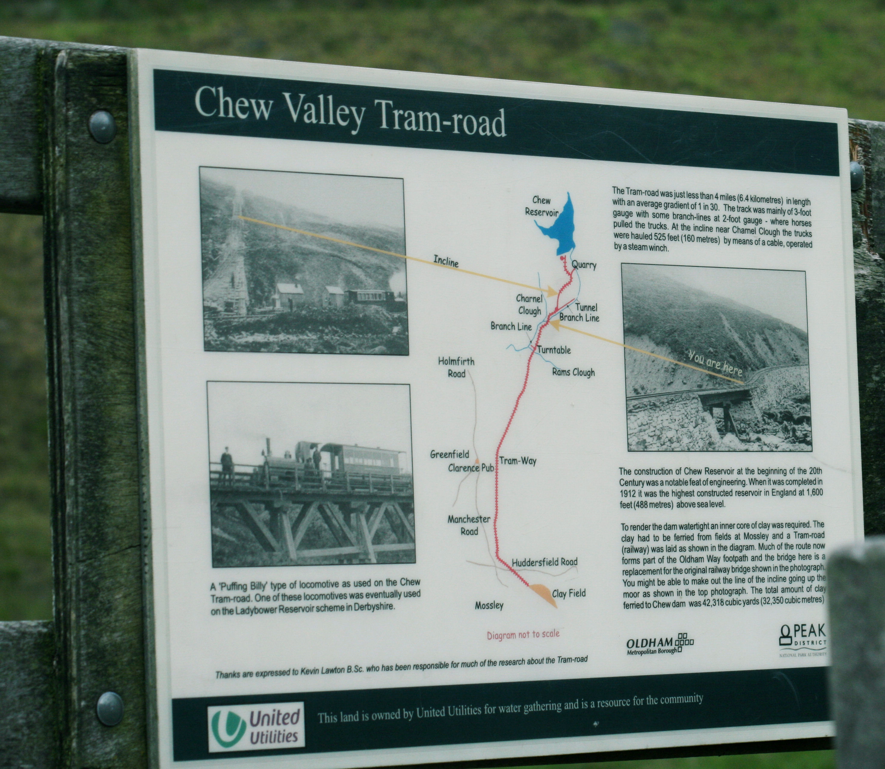
A tram-road was laid in Chew Valley to transport 42,318 cubic yards or 32,350 cubic metres of clay to the reservoir to make an inner core for the dam, making it watertight. The tram and railway is now gone but the route now forms the popular Oldham Way Footpath where a reconstructed bridge hosts a sign with information, pictures, and a map of the route.
-
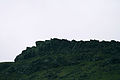
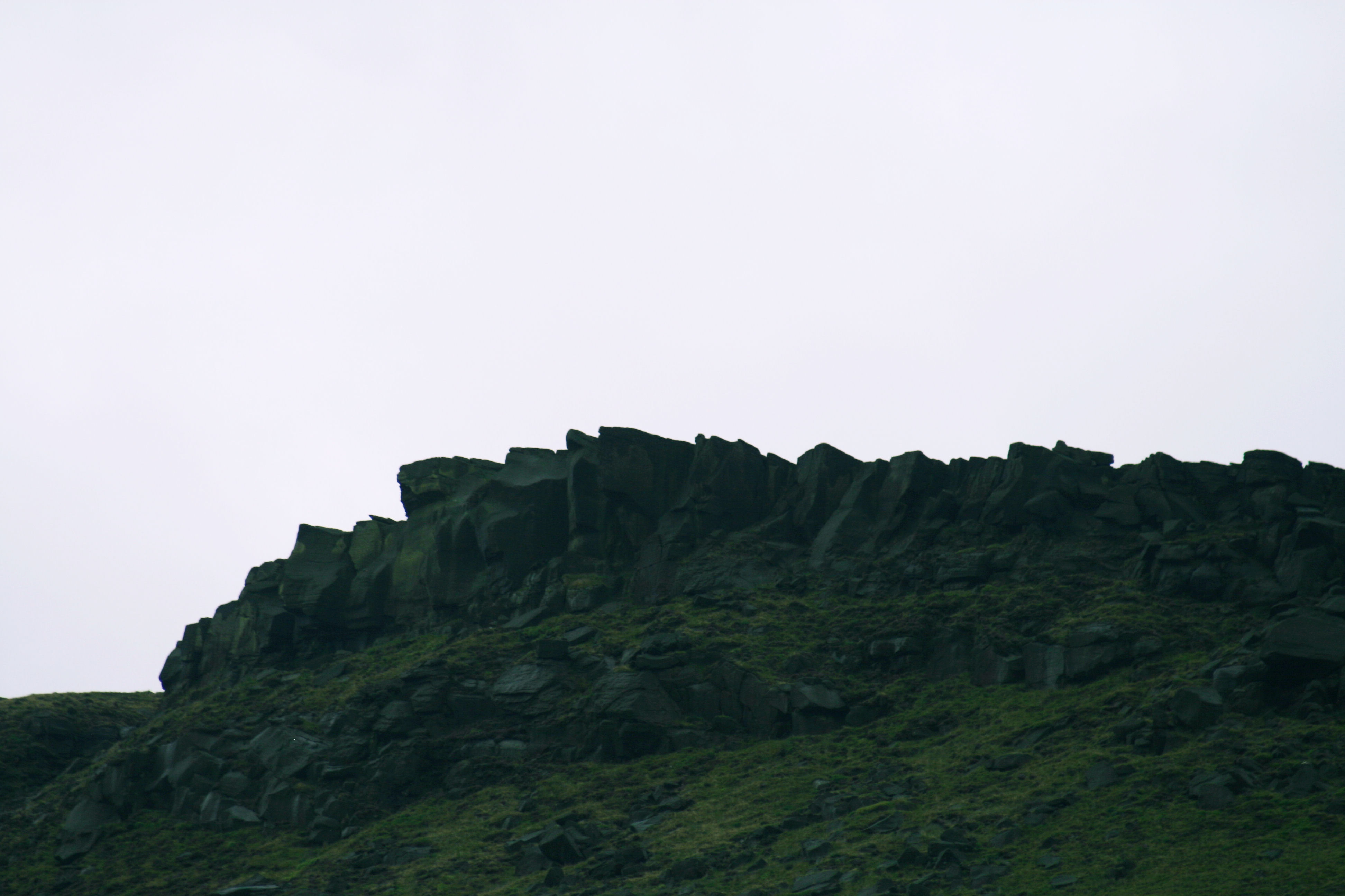
Indian Head, Chew Valley
-
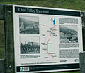
Sign showing ownership of the valley by United Utilities and old maps of the tram that once ran through the valley.
-

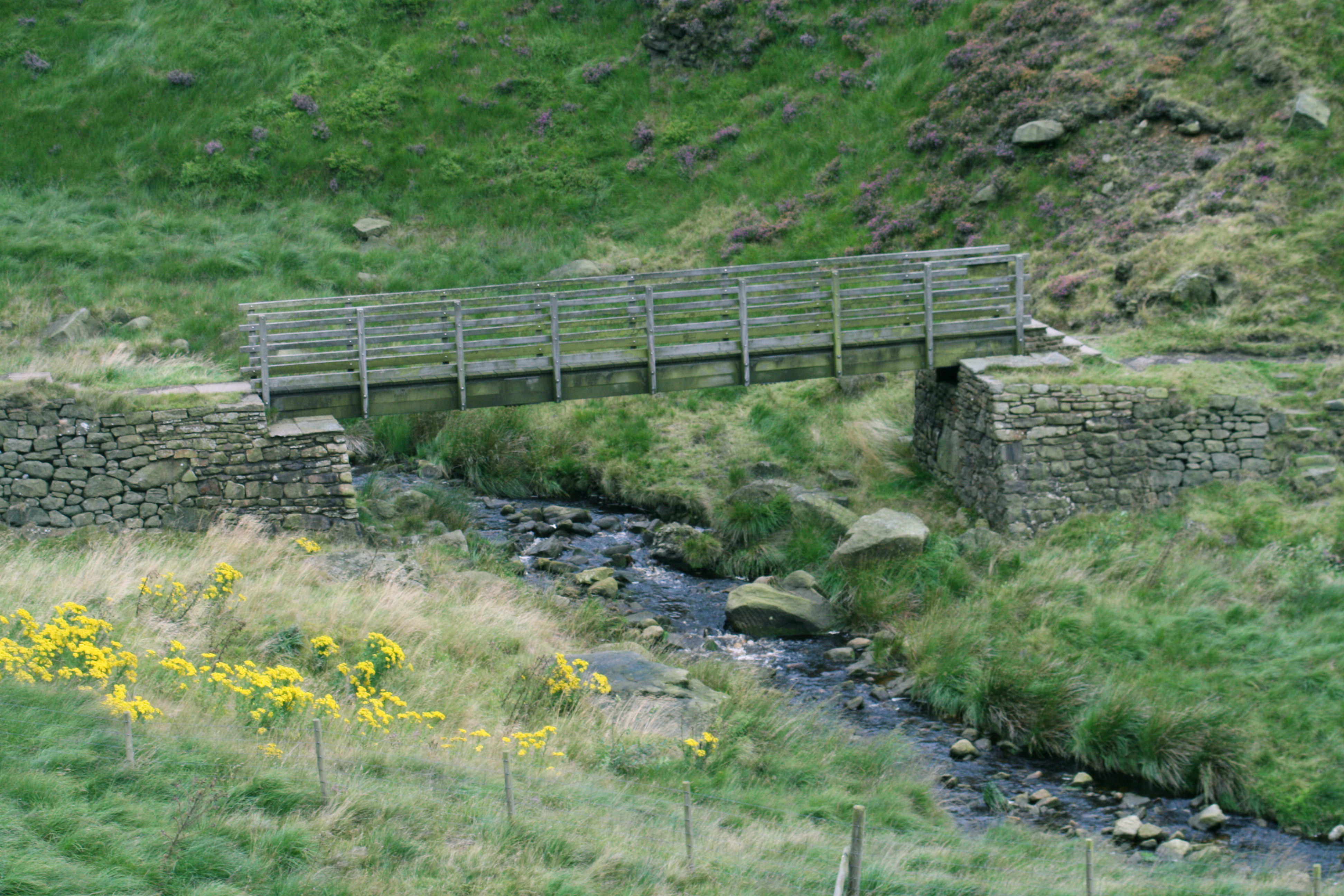
Oldham Way Footpath, Chew Valley
Chew Brook
The Chew Brook begins as a small stream on the western slopes of Black Chew Head 53°30′46″N 1°55′02″W / 53.5128°N 1.9172°W, a hill in the Saddleworth Moor and the highest point of Greater Manchester. Travelling westward down the slope it is joined by several other streams including the Black Chew Grain. After covering a distance of approximately 1 km through marshy moor land, the brook empties out into the Chew Reservoir 53°30′49″N 1°56′55″W / 53.5136°N 1.9487°W, which was built in 1912 and was the highest constructed reservoir in England (1600ft/488m above sea level) at the time (the Cow Green rservoir, near Middleton in Teesdale in County Durham is the current holder, completed in 1971). Excerpts from a labourers description of working on the dam at Chew Valley is available in the book Navvyman by Dick Sullivan.
At the western end of the reservoir the brook emerges down a narrow and steep ravine, curving steadily to the northwest for 2.3 km before this time emptying into Dovestones Reservoir 53°31′34″N 1°58′27″W / 53.5262°N 1.9742°W. Exiting out of the western end of Dovestones, the brook - now a small river - meanders through the heart of Greenfield village. Chew Brook ends its journey a short distance below Greenfield railway station where it merges into the River Tame 53°32′06″N 2°00′43″W / 53.5351°N 2.0120°W.
References
External links
Categories:- Geography of Oldham
- Rivers and valleys of the Peak District
- Greater Manchester geography stubs
-
Wikimedia Foundation. 2010.