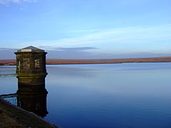
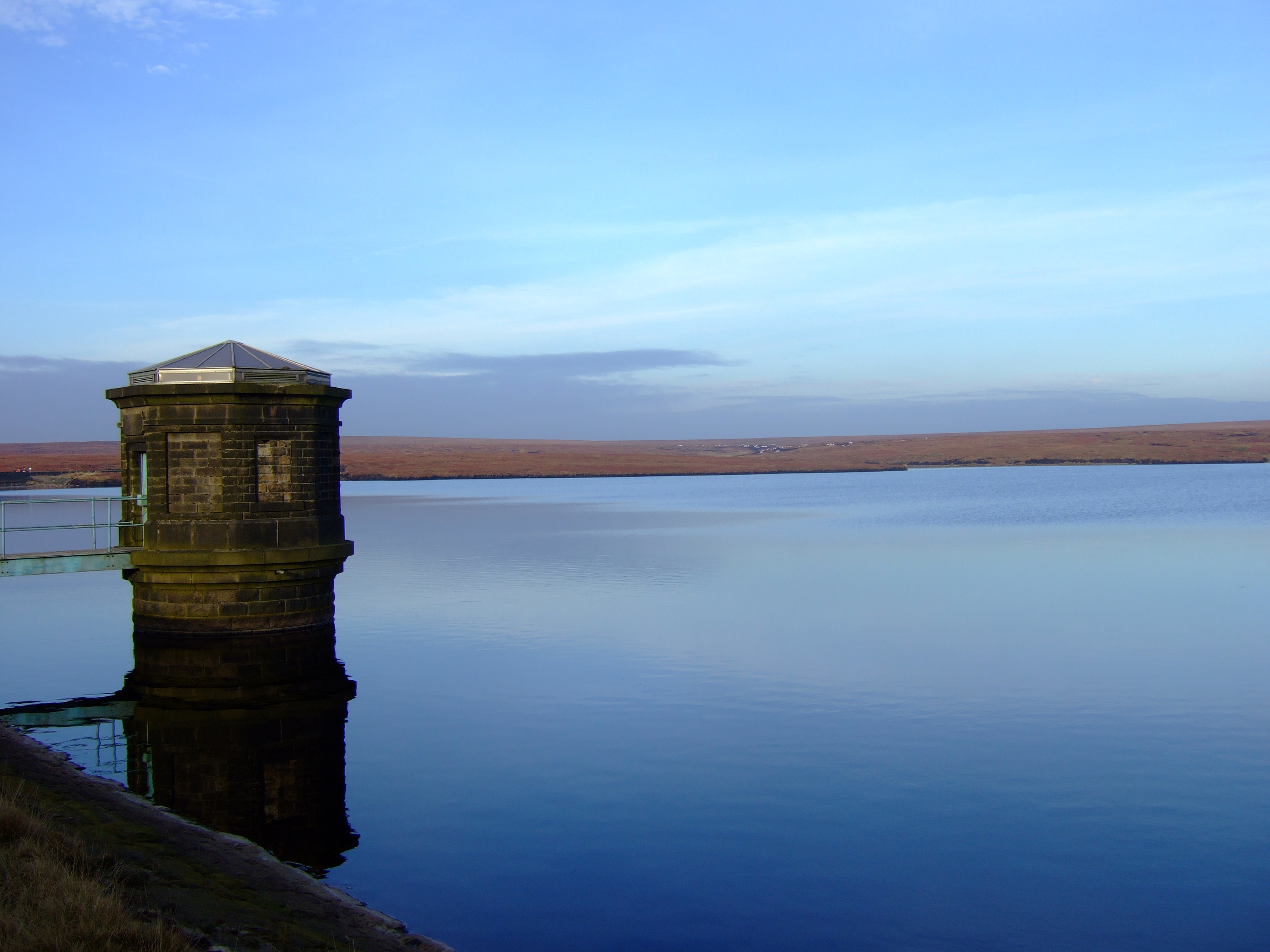
Chew Reservoir (Greater Manchester)
Look at other dictionaries:
Chew Valley, Greater Manchester — Not to be confused with Chew Valley, Somerset. Chew Valley, Greater Manchester Location Greater Manchester Coordinates … Wikipedia
River Tame, Greater Manchester — Infobox River river name = River Tame |200px caption = River Tame, seen here near Reddish Vale. origin = Denshaw, Greater Manchester mouth = River Mersey basin countries = England length = elevation = mouth elevation = 40m [cite web url =… … Wikipedia
List of places in Greater Manchester — Location map+|Greater Manchester caption = Some of the larger settlements of Greater Manchester. float = right width = 400 places = Location map |Greater Manchester label = Oldham long = 2.1169 lat = 53.5444 background = white Location map… … Wikipedia
Greenfield, Greater Manchester — infobox UK place country = England map type= Greater Manchester latitude= 53.5517 longitude= 2.0067 official name= Greenfield population= civil parish= Saddleworth metropolitan borough= Oldham metropolitan county= Greater Manchester region= North … Wikipedia
Chew Valley — This article is about Chew Valley in Somerset. For Chew Valley in Saddleworth, see Chew Valley, Greater Manchester. Not to be confused with Cheu Valley … Wikipedia
Dovestone Reservoir — Dovestone from Alphin Hill Location Greenfield Saddleworth Greater Manchester England … Wikipedia
Dovestones Reservoir — Infobox lake lake name = Dovestones Reservoir image lake = Dovestones from Alphin Hill.jpg caption lake = Dovestones from Alphin Hill image bathymetry = caption bathymetry = location = Greenfield Saddleworth Greater Manchester England coords =… … Wikipedia
Black Chew Head — Infobox Mountain Name = Black Chew Head Photo = Caption = Elevation = 542 m (1,778 ft) Location = Saddleworth, Greater Manchester, England Range = Peak District (Dark Peak) Prominence = c. 40 m Coordinates = coord|53.5161| 1.9216|type:landmark… … Wikipedia
List of lakes in England — This is a list of lakes and reservoirs in England. Largest lakes and reservoirs LakeArea (sq mi)1Windermere5.692Kielder Reservoir3.863Ullswater3.444Bassenthwaite Lake2.065Derwent Water2.06 Lakes larger than 5 hectares This list is restricted to… … Wikipedia
List of reservoirs and dams in the United Kingdom — This is a list of reservoirs and dams in the United Kingdom.EnglandBedfordshireBuckinghamshire*Foxcote Reservoir, north of Buckingham *Weston Turville Reservoir, between Weston Turville and WendoverCambridgeshire*Grafham WaterCheshire*Bosley… … Wikipedia