- North Carolina Highway 128
-
NC 128
Route information Maintained by NCDOT Length: 4.6 mi[1] (7.4 km) Existed: 1947 – present Major junctions South end: Blue Ridge Parkway (milepost 355) North end: Mount Mitchell State Park Location Counties: Yancey Highway system ←  NC 127
US 129  →
→North Carolina Highway 128 is a primary state highway in the U.S. state of North Carolina. It runs from the Blue Ridge Parkway (mile marker 355) to Mount Mitchell State Park. Reaching an elevation of over 6,400 feet (2,000 m), it is the highest (of any) road or highway east of the Mississippi River.
Contents
Route description
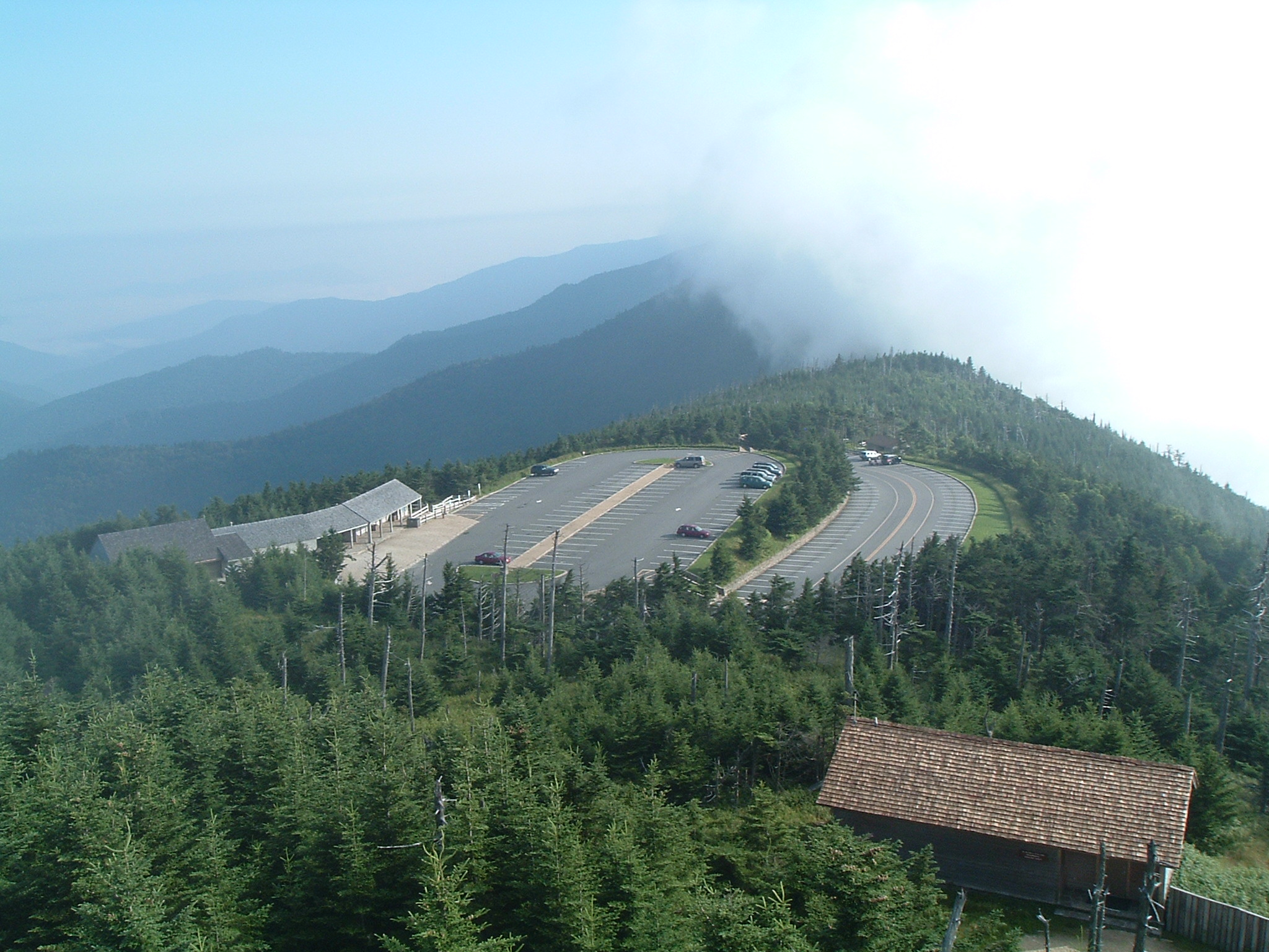
The route serves as a spur from the Blue Ridge Parkway to Mount Mitchell. The highway begins at mile marker 355 on the Blue Ridge Parkway; once past the gates, drivers are greeted by the only NC 128 shield on the whole route, its only indication (other than on a map) that it is a state highway. The two-lane road has mild curves as it enters Mount Mitchell State Park. It continues its ascent till it ends at the state park's parking lot, just below the summit of Mount Mitchell, the highest point in eastern North America.
The highway does not cross any primary or secondary routes. Only one service road (Radio Station Road) connects, making it the loneliest (or most isolated) route in the state.
History
In 1922, the first NC 128 existed briefly, originally running from Scotland Neck to Rich Square. It was quickly renumbered to NC 125 (now US 258). The current route was numbered NC 128 on or around 1947. The road itself existed earlier as a toll road on a 1936 county map.[2]
Photo gallery
-

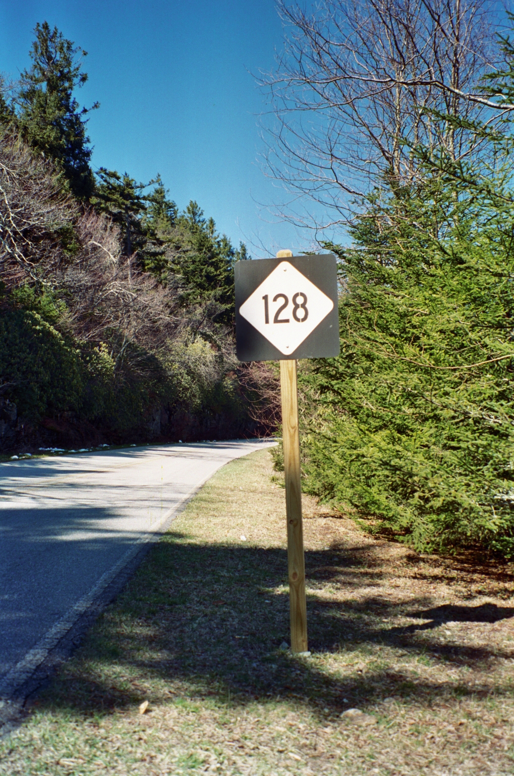
North Carolina Highway 128 Shield (2001-03-18).
-
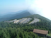
NC 128 ends in the state park's parking lot (2005-06-07).
-
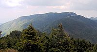
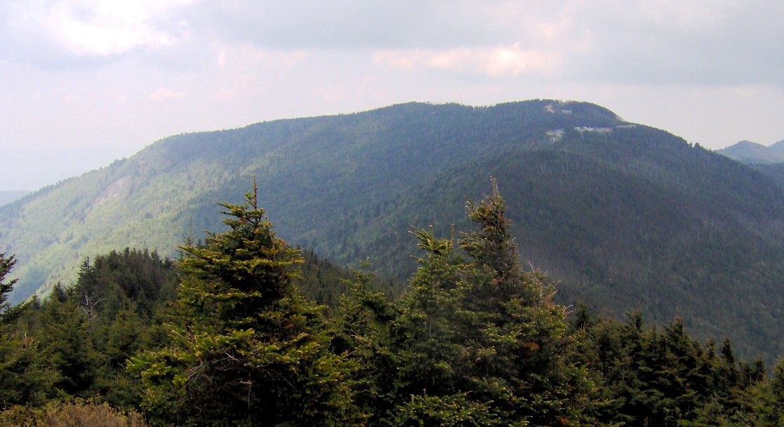
Mount Mitchell, viewed from Mount Craig (2007-05-28).
See also
References
- ^ "Google Maps". http://maps.google.com. Retrieved 2011-01-02.
- ^ NCRoads.com: NC 128
External links
Categories:- State highways in North Carolina
- Transportation in Yancey County, North Carolina
-

Wikimedia Foundation. 2010.