- Orosí Volcano
-
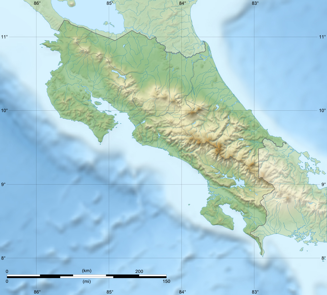
Orosí Volcano Costa Rica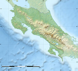
 Orosí Volcano
Elevation 1,659 m (5,443 ft) [1] Listing List of volcanoes in Costa Rica Location Range Cordillera de Guanacaste Coordinates 10°58′48″N 85°28′24″W / 10.98°N 85.47333°WCoordinates: 10°58′48″N 85°28′24″W / 10.98°N 85.47333°W[1] Geology Type Stratovolcano Last eruption ~3500 years ago[1] The Orosí Volcano, in Spanish the Volcán Orosí, is an inactive volcano in Costa Rica, situated in the Cordillera de Guanacaste near the border with Nicaragua. The area around the volcano is a popular tourist destination, especially for more ecologically minded tourists due to its biodiversity, including the Guanacaste National Park.
At the base of the volcano is the Maritza Biological Station, which researches aquatic biology, founded in conjunction with Stroud Water Research Center, Avondale, Pennsylvania, USA.
References
- ^ a b c "Orosí". Global Volcanism Program, Smithsonian Institution. http://www.volcano.si.edu/world/volcano.cfm?vnum=1405-01=. Retrieved 2010-03-11.
Guatemala Acatenango · Agua · Almolonga · Atitlán · Fuego · Jumay · Moyuta · Pacaya · Santa María/Santiaguito · San Pedro · Santo Tomás · Siete Orejas · Tacaná · Tajumulco · Tecuamburro · Tolimán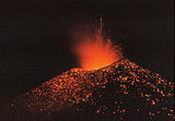
El Salvador Nicaragua Cosigüina · San Cristóbal · Telica · Cerro Negro · Momotombo · Apoyeque · Masaya · Mombacho · Concepción · MaderasCosta Rica Panama Note: volcanoes are ordered from north-west to south-east.Categories:- Stratovolcanoes
- Volcanoes of Costa Rica
- Mountains of Costa Rica
- Inactive volcanoes
- Costa Rica geography stubs

Wikimedia Foundation. 2010.