- Mount Muhabura
-
Mount Muhabura 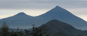
Mts. Gahinga (left) and Muhabura (right)Elevation 4,127 m (13,540 ft) [1] Prominence 1,530 m (5,020 ft) [2] Listing Ultra Translation The Guide (Kinyarwanda) Location Location on Rwanda/Uganda border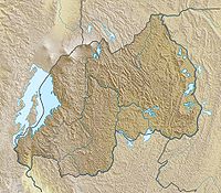
 Mount Muhabura
Location Rwanda–Uganda Range Virunga Mountains Coordinates 01°23′00″S 29°40′00″E / 1.3833333°S 29.6666667°ECoordinates: 01°23′00″S 29°40′00″E / 1.3833333°S 29.6666667°E[1] Geology Type Stratovolcano Last eruption unknown[1] Mount Muhabura, also known as Mount Muhavura, is an extinct volcano in the Virunga Mountains on the border between Rwanda and Uganda. At 4,127 m, Muhabura is the third highest of the eight major mountains of the mountain range, which is a part of the East African Rift Valley. Muhabura lies partly in Volcanoes National Park, Rwanda and partly in Mgahinga Gorilla National Park, Uganda. The mountain can be climbed in one day from the Ugandan side.
The name Muhabura means The Guide in the local language, Kinyarwanda, which probably derives from a historical use of the mountain to aid navigation.[citation needed] It can be seen from many parts of Uganda and Rwanda because of its slope.
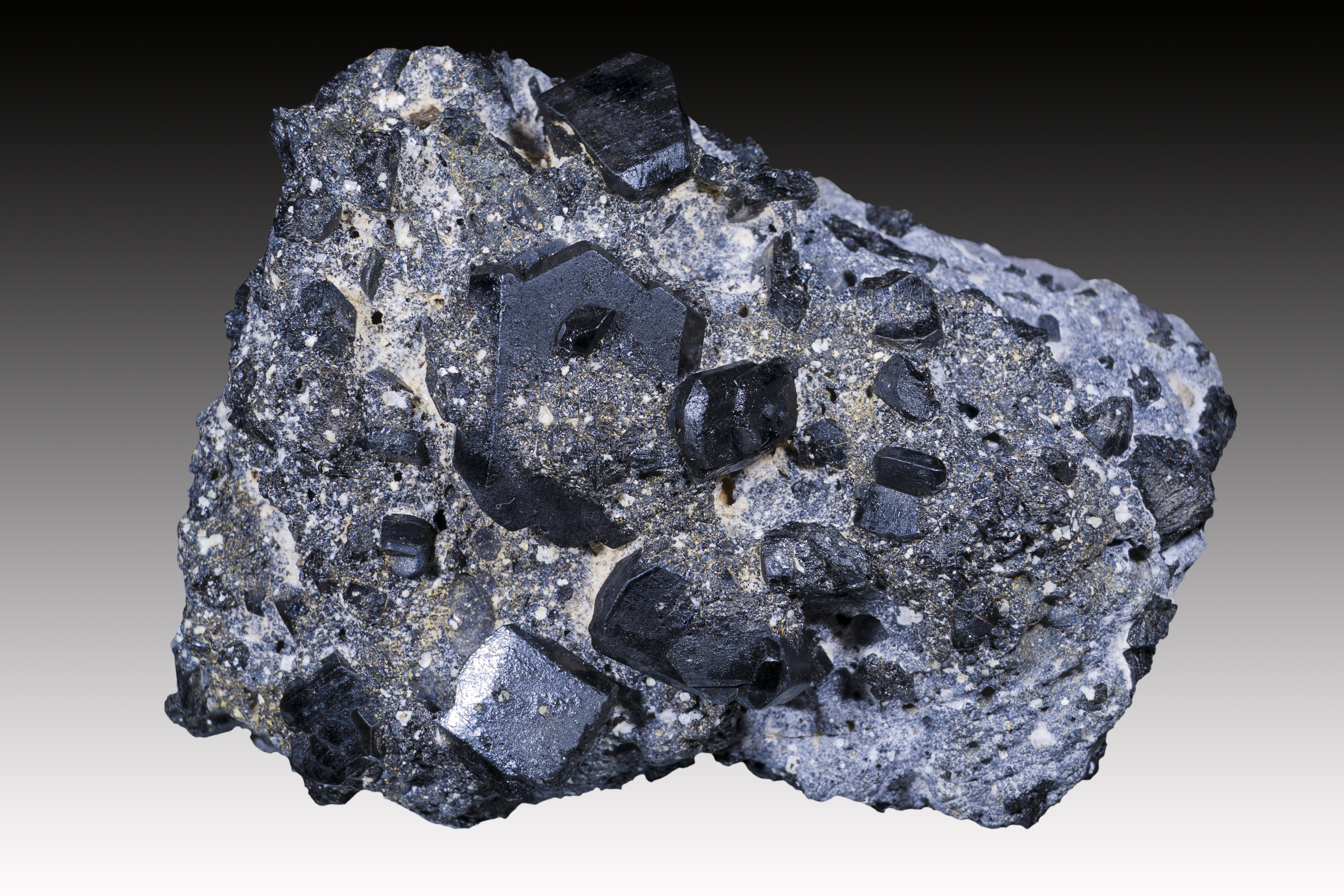
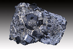 Augite from Muhabura
See also
References
- ^ a b c "Mount Muhabura". Global Volcanism Program, Smithsonian Institution. http://www.volcano.si.edu/world/volcano.cfm?vnum=0203-06-. Retrieved 2008-12-23.
- ^ "Mount Muhabura". Peakbagger.com. http://www.peakbagger.com/peak.aspx?pid=11164. Retrieved 2008-12-23.
Categories:- Stratovolcanoes
- Virunga Mountains
- Mountains of Rwanda
- Mountains of Uganda
- Volcanoes of Rwanda
- Volcanoes of Uganda
- Rwanda–Uganda border
- International mountains of Africa
- Rwanda geography stubs
- Uganda geography stubs

Wikimedia Foundation. 2010.