- Dreischor
-
Dreischor — Town — 
Flag
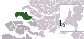
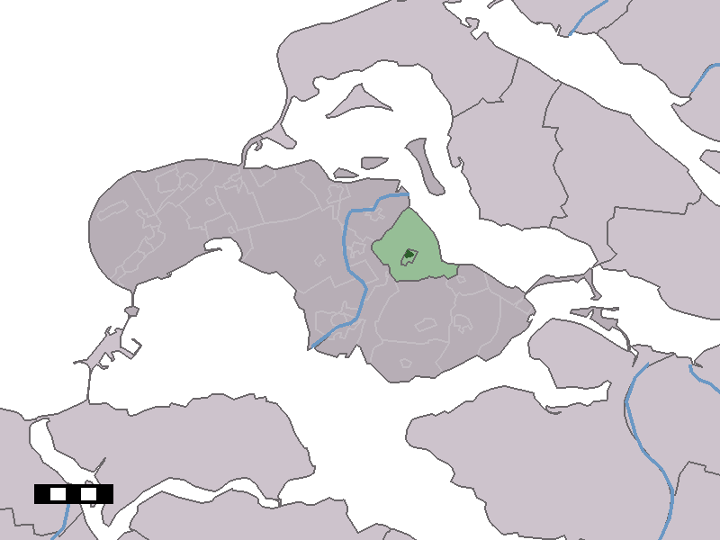
Coat of arms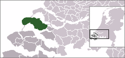 The town centre (dark green) and the statistical district (light green) of Dreischor in the municipality of Schouwen-Duiveland.
Coordinates: 51°41′19″N 3°58′57″E / 51.68861°N 3.9825°ECoordinates: 51°41′19″N 3°58′57″E / 51.68861°N 3.9825°E Country Netherlands Province Zeeland Municipality Schouwen-Duiveland Population (4-1-2010) - Total 994 Time zone CET (UTC+1) - Summer (DST) CEST (UTC+2) Postal code Dreischor is a town in the Dutch province of Zeeland. It is a part of the municipality of Schouwen-Duiveland, and lies about 20 km southwest of Hellevoetsluis.
In 2001, the town of Dreischor had 549 inhabitants. The built-up area of the town was 0.18 km², and contained 271 residences.[1] The statistical area "Dreischor", which also can include the surrounding countryside, has a population of around 1020.[2]
References
- ^ Statistics Netherlands (CBS), Bevolkingskernen in Nederland 2001 [1]. (Statistics are for the continuous built-up area).
- ^ Statistics Netherlands (CBS), Statline: Kerncijfers wijken en buurten 2003-2005 [2]. As of 1 January 2005.
Categories:- Populated places in Zeeland
- Former municipalities of Zeeland
- Zeeland geography stubs

Wikimedia Foundation. 2010.