- Manns Harbor, North Carolina
-
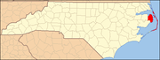
Manns Harbor — Unincorporated — Location within the state of North Carolina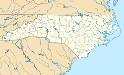
 Manns Harbor
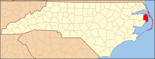
Coordinates: 35°53′09″N 75°45′46″W / 35.88583°N 75.76278°WCoordinates: 35°53′09″N 75°45′46″W / 35.88583°N 75.76278°W Country United States State North Carolina County Dare County Elevation 3 ft (0.9144 m) Time zone Eastern (EST) (UTC-5) - Summer (DST) EDT (UTC-4) ZIP code 27953 Area code(s) 252 GNIS feature ID 989288[1] Manns Harbor is an unincorporated community in Dare County, North Carolina, United States. Located east of the intersection of US 64 and US 264; it is nestled along eastern bank of the Croatan Sound. Before 1957, Manns Harbor used to harbor a ferry that traversed the Croatan Sound and provided access to Roanoke Island. Today, the William B. Umstead Bridge (completed in 1957) and the 4-lane Virginia Dare Memorial Bridge (completed in 2002) link Manteo, North Carolina to the mainland. This community provides a gateway to North Carolina's Outer Banks.[2]
The residents of Manns Harbor are governed by the Dare County Board of Commissioners. Manns Harbor is part of District 1, along with Manteo, Roanoke Island and Wanchese.
References
Municipalities and communities of Dare County, North Carolina County seat: Manteo Towns Duck | Kill Devil Hills | Kitty Hawk | Manteo | Nags Head | Southern Shores
Unincorporated
communitiesCategories:- Populated places in Dare County, North Carolina
- Unincorporated communities in North Carolina

Wikimedia Foundation. 2010.