- Du Lièvre River
-
Du Lièvre River (Rivière du Lièvre) Hare River 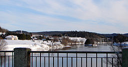 Du Lièvre River at Notre-Dame-de-la-Salette
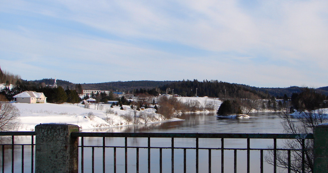
Country Canada Province Quebec Region Laurentides, Outaouais Source Laurentian Mountains Mouth Ottawa River - location Masson, Outaouais - coordinates 45°31′25″N 75°25′50″W / 45.52361°N 75.43056°W Length 330 km (210 mi) Basin 10,400 km2 (4,000 sq mi) The du Lièvre River (Rivière du Lièvre in French) is a river in western Quebec which flows south from the Mitchinamécus reservoir and empties into the Ottawa River at Masson-Angers. The river is 330 km in length and drains an area of 10,400 km². The river's name comes from the French word for hare.
Tributaries of this river include the:
- Mitchinamécus River
- Kiamika River
The river flows through the communities of:
- Mont-Laurier
- Notre-Dame-de-Pontmain
- Notre-Dame-du-Laus
- Val-des-Bois
- Notre-Dame-de-la-Salette
- Glen Almond (municipality L'Ange-Gardien)
- Buckingham now part of Gatineau
At one time, the river was used to transport logs downstream to sawmills located near the river's mouth. In 1928, a paper mill was built near the mouth of the river. On December 18, 1998, this mill was bought from Industries James Maclaren Inc. by private investors and became Papier Masson Ltee. In turn, the White Birch Paper Company bought it in January 2006.[1][2]
There are a number of hydroelectric plants on the river.
References
Categories:- Rivers of Quebec
- Quebec geography stubs
Wikimedia Foundation. 2010.