- Morecambe Bay
-
Morecambe Bay is a large bay in northwest England, nearly due east of the Isle of Man and just to the south of the Lake District National Park. It is the largest expanse of intertidal mudflats and sand in the United Kingdom, covering a total area of 310 km².
Contents
Natural features
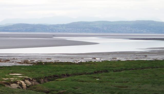
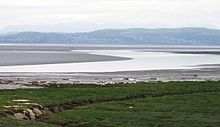 Morecambe Bay at low tide from Hest Bank, looking towards Grange-over-Sands.
The rivers Leven, Kent, Keer, Lune and Wyre drain into the Bay, with their various estuaries making a number of peninsulas within the bay, such as Humphrey Head. Much of the land around the bay is reclaimed, forming salt marshes used in agriculture. Morecambe Bay is also an important wildlife site, with abundant bird life and varied marine habitats, and there is a bird observatory at Walney Island.
The bay is also notorious for its quicksand and fast moving tides (it is said that the tide can come in "as fast as a horse can run"). It is particularly infamous due to the '2004 Morecambe Bay Disaster' in which 23 Chinese illegal immigrant cockle pickers are believed to have drowned due to the tide.[1] [2]
History of the bay
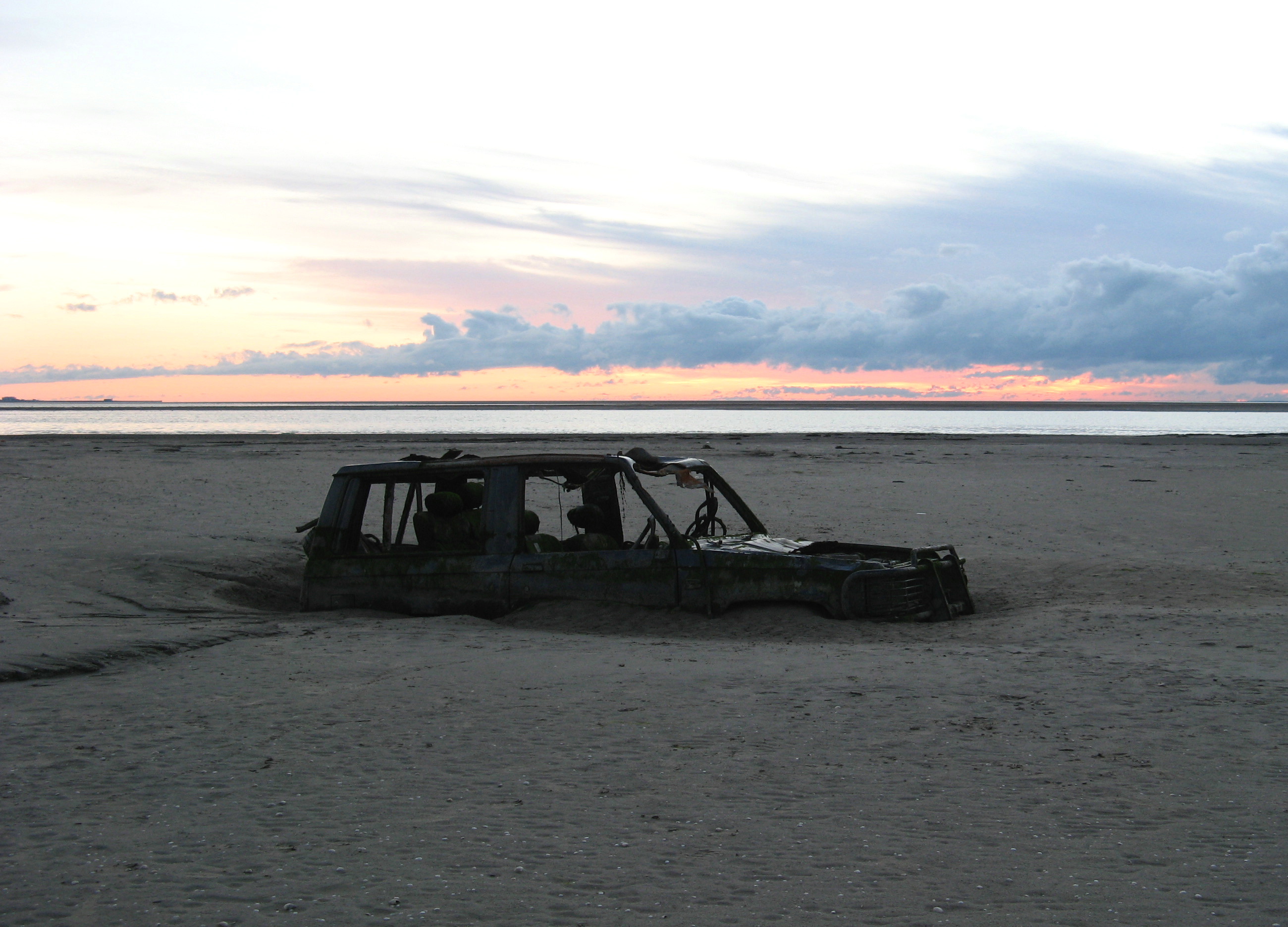
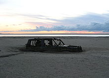 Abandoned car in Morecambe Bay, 400 metres from the shore.
There have been royally appointed local guides (holding the post of Queen's Guide to the Sands) for crossing the bay for centuries. This difficulty of crossing the bay added to the isolation of the land to its north which, due to the presence of the mountains of the Lake District, could only be reached by crossing these sands or by ferry, until the Furness Railway was built in 1857. This skirts the edge of the bay, crossing the various estuaries. The London-Glasgow railway also briefly runs alongside the bay - the only place where the so-called West Coast Main Line actually runs alongside the coast.
Morecambe Bay was featured on the television programme Seven Natural Wonders (BBC) as one of the wonders of the North.
Settlement on the bay
Some 319,100 people live along the coastline of Morecambe Bay,[3] with many of these people residing in the towns listed in the table below. The largest town by far on the bay is Barrow-in-Furness located to the north-west of it, whilst the town which adopted its name from the bay (Morecambe was previously called Poulton-le-Sands) has a population of around half of Barrow's. Morecambe relied on the bay for many years, as a popular seaside holiday destination, whilst Barrow still relies on the seas for a large percentage of its economy - Ship and Submarine building.
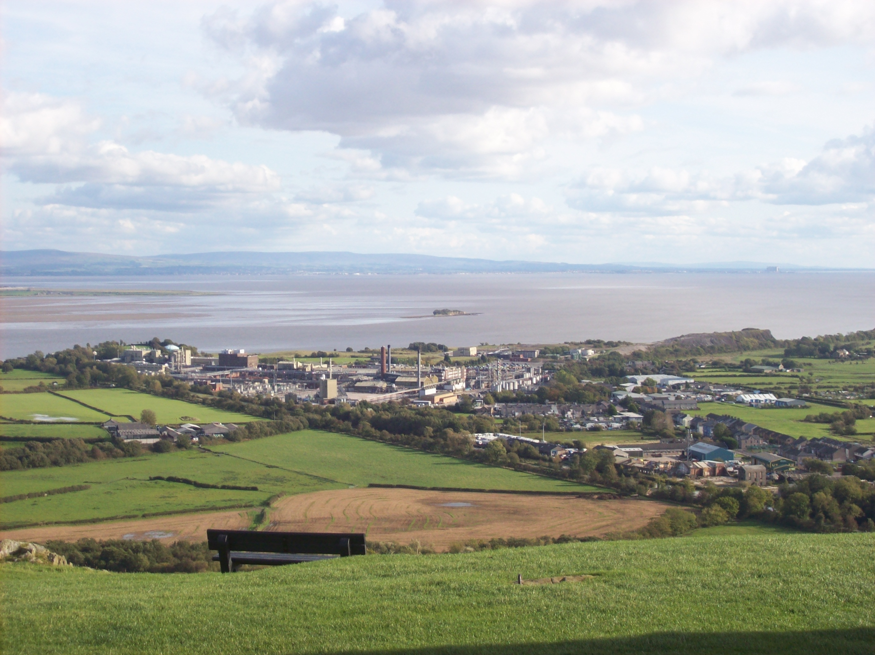
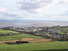 Morecambe Bay from Ulverston
Town County Population Barrow-in-Furness Cumbria 59,256 Morecambe Lancashire 45,000 Fleetwood Lancashire 26,840 Ulverston Cumbria 11,210 Heysham Lancashire 6,500 Grange-Over-Sands Cumbria 4,000 Incidents and accidents
Main articles: 2004 Morecambe Bay cockling disaster and 2006 Morecambe Bay helicopter crashThe bay has rich cockle beds, which have been fished by locals for generations. On the night of 5 February 2004, 23 Chinese immigrant cockle pickers drowned after being cut off by the tides. This tragedy led some commentators to suggest that the cockle beds should be closed until improved safety measures could be introduced.
In 2006, a helicopter crash in Morecambe Bay killed passengers and crew travelling to a nearby off-shore gas platform.
Bridge proposal
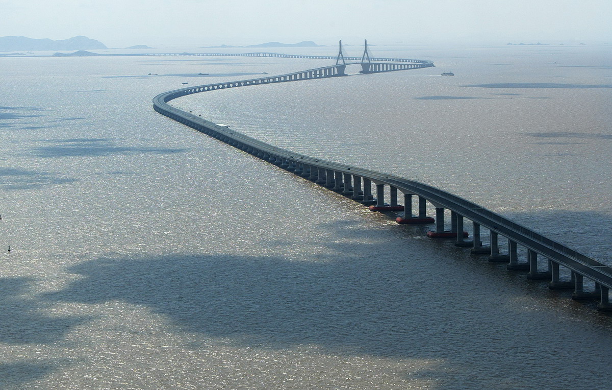
 The Donghai Bridge in Shanghai, China has a similar structure to the proposed Morecambe Bay Bridge
Discussions as to whether to build a road bridge over the bay have been ongoing for decades, particularly in the more isolated north of the bay. The most recent suggestion was of a "green bridge", flanked by wind turbines and using tidal power to mitigate the environmental damage of its construction.[4] The bridge would be twelve miles (19 km) long making it the longest bridge in Europe.[5] It would stretch from Heysham to Barrow-in-Furness, at the bay's mouth. Feasibility studies are ongoing, though over two years since this version of the bridge was proposed, little progress has been made. In the 2005 UK General Election, Timothy Bell polled just 1.1% of the votes in the Barrow and Furness constituency for the Build Duddon and Morecambe Bay Bridges Party.
In 1974 natural gas was discovered offshore, and development of the Morecambe Bay gas field began several years later. A lease has been granted for developing two wind turbine sites in the bay, one at Walney Island and the other at Cleveleys. Together these will have around 50 turbines.
The bridge could produce 200 MW of renewable energy from a tidal stream system, enough to power over 400,000 homes.[citation needed] The results of turbine tests in the Bay, promised for the summer of 2009, have yet to appear in the local press. The marine environment of the Bay is notoriously volatile, and some local opinion has doubted whether turbines could function effectively in such a setting.[citation needed]
Members of Parliament in West Cumbria have hailed the bridge as a saviour for local industry.[citation needed] The project's backers, Bridge Across the Bay Ltd., have compared the proposed bridge's importance to that of the Øresundsbron (the Øresund Bridge) near Copenhagen and the Angel of the North. Bridge Across the Bay Ltd. intends to seek planning permission in 2010. Subject to approval and the problematic provision of finance, construction could begin around 2011, and the company estimates the bridge could be completed in 2015.[6][7][8]
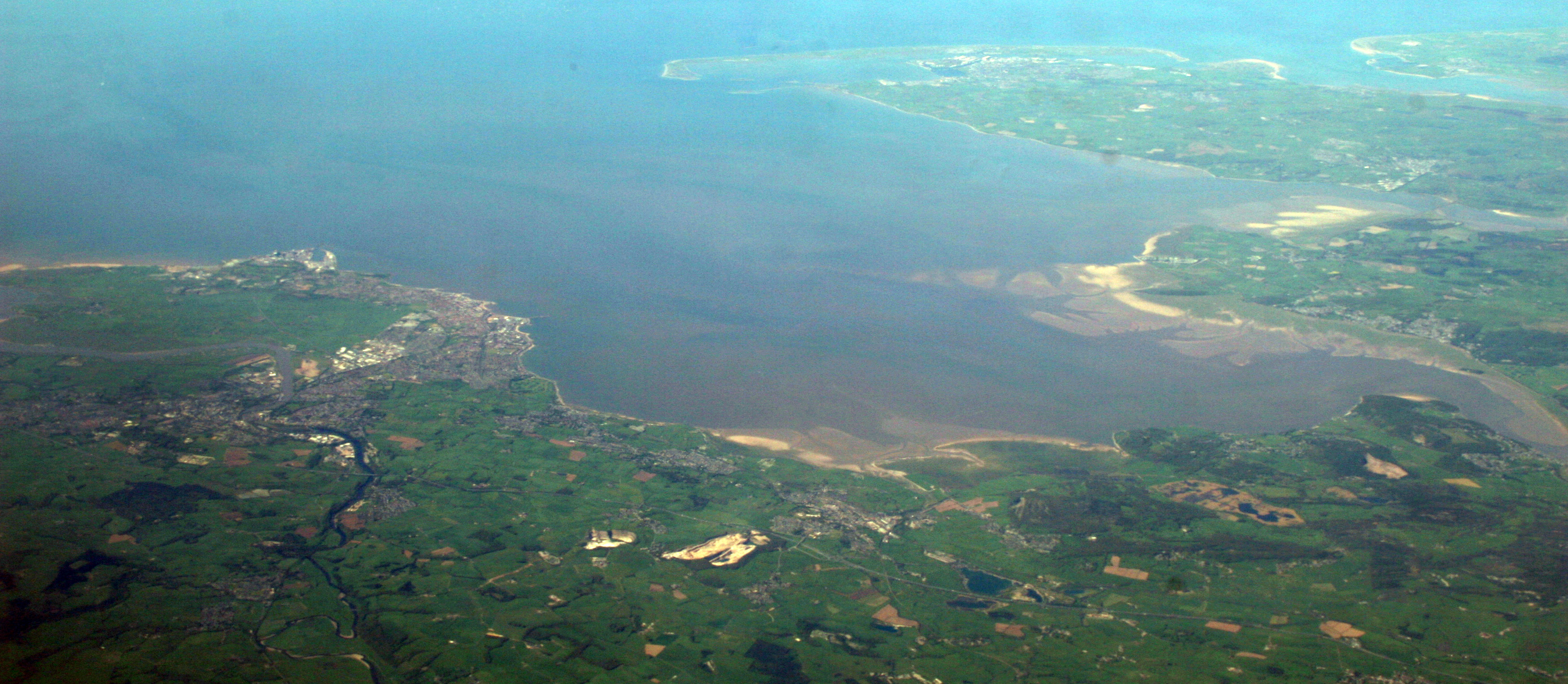
Panorama


A panorama of most of Morecambe Bay looking from East (bottom of photo) to West (top of photo). Barrow-in-Furness and Walney Island can be seen in the upper part of the photo and Lancaster and Morecambe are visible in the lower left-hand corner of the photo. Further reading
- A brief article on the Morecambe Bay tidal crossing appeared in 2005: Cawley, David [2005]: Time & Tide: Morecambe Bay, hidden europe magazine, 4 (Sept 2005), pp. 40–44.
References
- ^ Channel 4 documentary-drama 'Ghosts'
- ^ "Coroner records unlawful killing verdict on Morecambe Bay cockler (From The Westmorland Gazette)". Thewestmorlandgazette.co.uk. http://www.thewestmorlandgazette.co.uk/news/8710611.Coroner_records_unlawful_killing_verdict_on_Morecambe_Bay_cockler/?ref=mr. Retrieved 2011-11-07.
- ^ Neighbourhood Statistics: Morecambe Bay (Primary Care Organisation)
- ^ [1][dead link]
- ^ Česky. "List of longest bridges in the world - Wikipedia, the free encyclopedia". En.wikipedia.org. http://en.wikipedia.org/wiki/List_of_longest_bridges_in_the_world. Retrieved 2011-11-07.
- ^ http://www.nwemail.co.uk/news/viewarticle.aspx?id=509561&imageindex=0 nwemail.co.uk
- ^ http://news.bbc.co.uk/1/hi/england/cumbria/3723779.stm news.bbc.co.uk
- ^ http://www.nwemail.co.uk/news/viewarticle.aspx?id=584104 nwemail.co.uk
External links
- Morecambe Bay partnership - local conservation charity
- Walney bird observatory
- ITV footage of Morecambe Bay Half Marathon 2008
- The Cross Bay Challenge on Morecambe Bay by Keith Wilkinson (reporter)
Coordinates: 54°07′N 3°00′W / 54.117°N 3°W
- Morecambe Bay ARS - Local Amateur Radio Society and Training
- Sands Amateur Radio Contest Group -Amateur Radio Group in Morecambe
- - Walks in the Morecambe Bay area
- Morecambe Bay Visitor Information site - Lancaster City Council Tourism website
Categories:- Geography of Lancashire
- Ramsar sites in England
- Special Protection Areas in England
- Bays of England
- Irish Sea
- Sites of Special Scientific Interest in Cumbria
- Sites of Special Scientific Interest in Lancashire
- Lancaster
- Special Areas of Conservation in England
- Salt marshes of the United Kingdom
- Geography of Cumbria
- Furness
- Barrow-in-Furness
Wikimedia Foundation. 2010.