- Mangere Mountain
-
Mangere Mountain 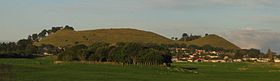
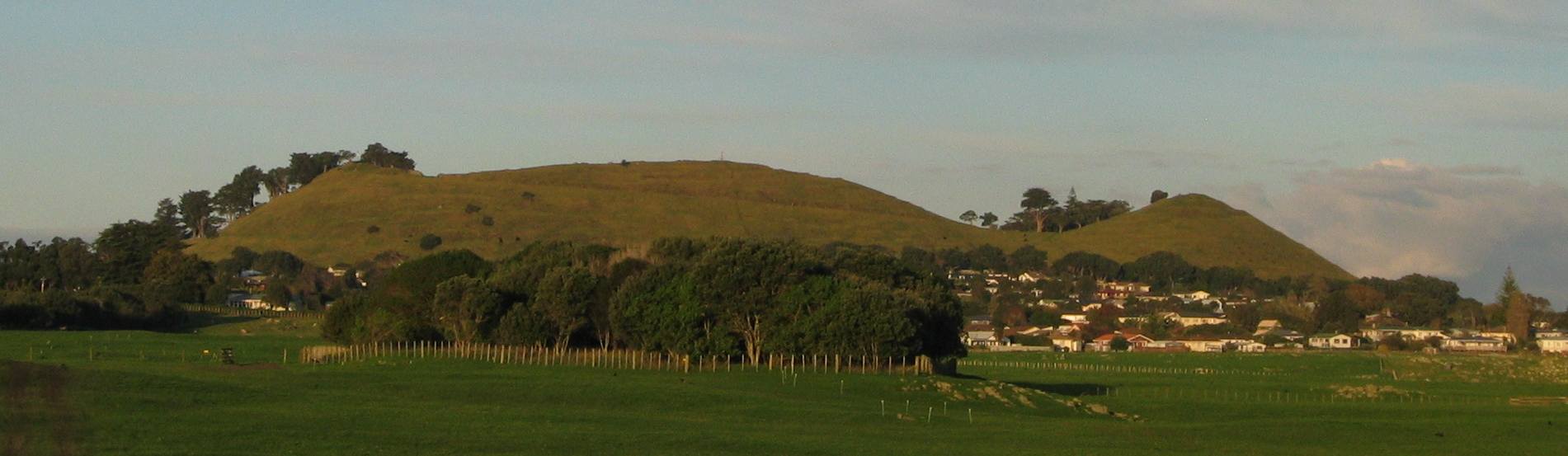
Mangere Mountain seen from Ambury Regional Park.Elevation 106 m (348 ft) Location Location North Island, New Zealand Coordinates 36°56′59″S 174°46′59″E / 36.9496°S 174.7831°ECoordinates: 36°56′59″S 174°46′59″E / 36.9496°S 174.7831°E Geology Volcanic arc/belt Auckland volcanic field Mangere Mountain (also Mangere Domain, for the park) is one of the largest volcanic cones in the Auckland Volcanic Field, with a peak 106 metres above sea level, and was the site of a major pā. Many of the pā's earthworks are still very evident. It offers spectacular panoramic views of Auckland.
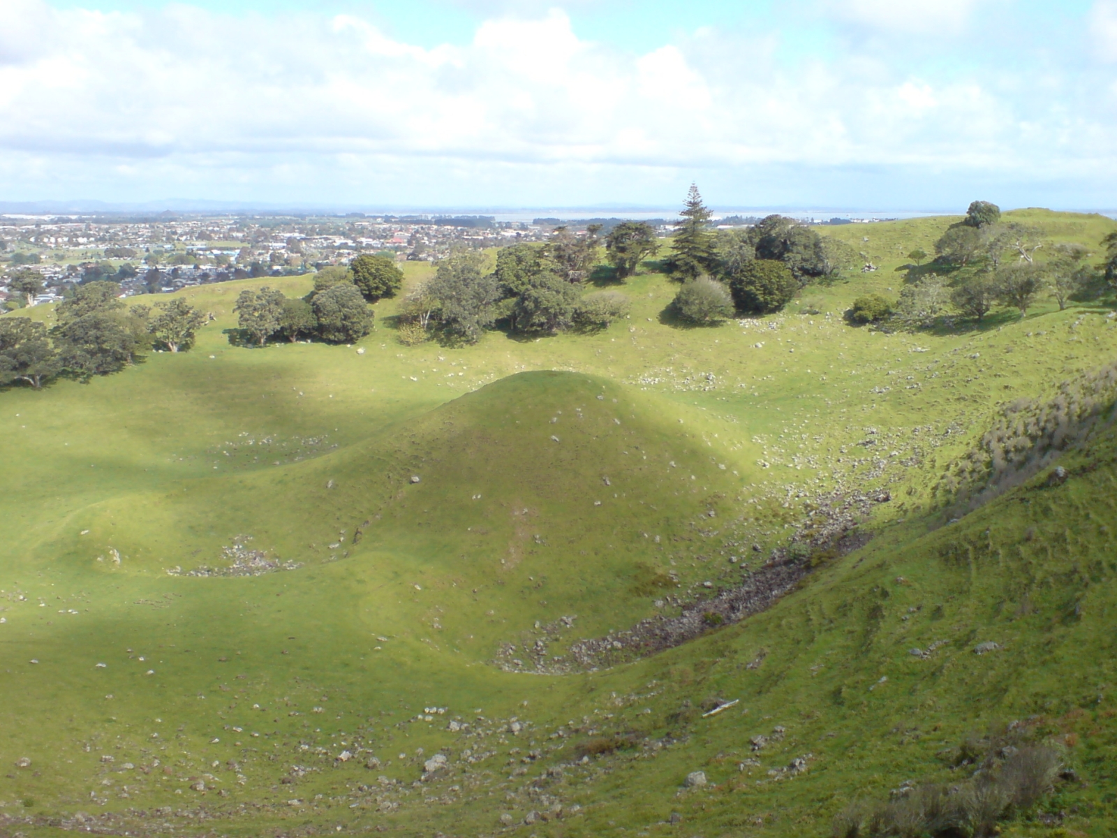
The mountain features two large craters. The volcano has a wide crater with a lava dome near its centre, a feature shared by no other volcano in Auckland. The volcano last erupted approximately 18,000 years ago.[1]
The mountain is one of the largest and best preserved of Auckland's volcanic cones. Much of the archaeological environment on the mountain remains, such as kumara pits, garden terraces, walled garden mounds and stone boundary walls.[2]
Near the mountain to the southwest is Mangere Lagoon.
-
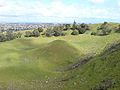
Mangere Mountain's central lava dome, one of the best-preserved examples in the Auckland Region.
-
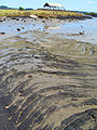
Pahoehoe type lava flow from Mangere Mountain at nearby Ambury Regional Park.
-

One of many small lava caves in lava flows from Mangere Mountain, at Ambury Regional Park.
References
External links
- Mangere Mountain, Department of Conservation
- Mt Mangere, Geological Society of New Zealand
Categories:- Auckland Volcanic Field
- Mountains of New Zealand
- Auckland Region geography stubs
-


Wikimedia Foundation. 2010.