- County Route 544 (New Jersey)
-
County Route 544
Route information Length: 14.94 mi[1] (24.04 km) Major junctions West end:  CR 534 in Deptford Twp
 Route 42 in Deptford Twp
 Route 41 in Deptford Twp
 Route 168 in Runnemede
 US 30 in Magnolia
 Route 73 in Evesham Twp
East end:  CR 623 in Medford Twp
Highway system County routes in New Jersey
500-series←  CR 543
CR 545  →
→County Route 544, abbreviated CR 544, is a county highway in the U.S. state of New Jersey. The highway extends 14.94 miles (24.04 km) from Cooper Street (CR 534) in Deptford Township to Taunton Boulevard (CR 623) in Medford Township.
Contents
Route description
Gloucester County
CR 544 begins at an intersection with CR 534 in Deptford Township, Gloucester County, heading northeast on Clements Bridge Road, a three-lane road with a center left-turn lane. The road passes through residential neighborhoods and intersects CR 645, at which point the route enters commercial areas. CR 544 widens into a four-lane divided highway as it passes over the Route 55 freeway and comes to the CR 621 junction. At this point, the road passes north of the Deptford Mall, with the eastbound direction carrying three lanes and the westbound direction carrying two lanes. After the mall, CR 544 comes to an interchange with the Route 42 freeway. A short distance later, the route comes to Route 41 and turns northeast to run concurrent with that route on a two-lane undivided road.[1][2]
Camden County
The road crosses the Big Timber Creek into Camden County, running along the border of Runnemede to the north and Gloucester Township to the south. CR 544 splits from Route 41 by heading east-northeast on Evesham Road, continuing along the Runnemede/Gloucester Township border through residential areas, crossing Route 168 (Black Horse Pike). After this intersection, the road heads past a mix of homes and businesses, reaching the CR 736 junction. CR 544 enters more residential surroundings with occasional businesses as it forms the border between Magnolia to the north and Gloucester Township to the south before fully entering Magnolia. The route crosses a Conrail Shared Assets Operations railroad line and CR 727 in quick succession before coming to CR 669 and reaching the US 30 junction. CR 544 passes homes as it leaves Magnolia and forms the border between Lawnside to the north and Somerdale to the south, reaching a junction with CR 668. After crossing Coopers Creek, the road heads more east along the border between Cherry Hill to the north and Voorhees Township to the south, intersecting CR 679 before passing under the PATCO Speedline and New Jersey Transit's Atlantic City Line near the Ashland PATCO Station. CR 544 passes more residential development and crosses CR 670 before reaching a junction with CR 561 and CR 678 farther east. At this intersection, the route widens to four lanes, passing the Woodcrest Country Club. The route enters less dense wooded residential deveopment before passing Holly Ravine Farm and reaching the CR 673 junction. From here, the road passes Stafford Farm, along with a mix of woods and development. The road passes to the north of the former Virtua Voorhees Hopstial prior to crossing CR 675. CR 544 continues past residential subdivisions and businesses, including the Voorhees Main Street Complex, as it crosses over CR 671.[1][2] Before approaching the Burlington County line, CR 544 passes Congregation M'Kor Shalom, a synagogue on the Cherry Hill side.
Burlington County
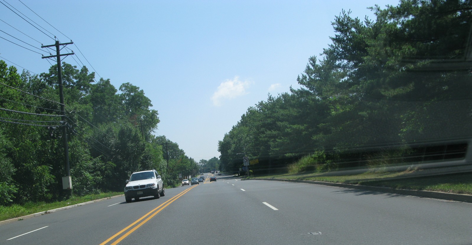
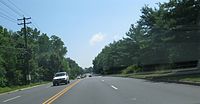 CR 544 (Evesham Road) in Evesham Township, New Jersey
CR 544 continues into Evesham Township in Burlington County and reaches an intersection with Route 73. Past this intersection, the route becomes the two-lane divided Marlton Parkway and passes The Promenade at Sagemore shopping mall, as well as residential subdivisions, curving to the southeast. At the CR 619 intersection, CR 544 becomes two-lane undivided Thomlinson's Mill Road and enters forested areas with some homes. The route crosses into Medford Township and comes to its eastern terminus at CR 623.[1][2]
Major intersections
County Location Mile[1] Destinations Notes Gloucester Deptford Township 0.00 CR 534 (Cooper Street)Western terminus of Route 544 1.59 Route 42NJ 42 exit 12 1.84 Route 41 south (Hurffville Road)Begin/end concurrency with Route 41 Camden Runnemede 2.16 Route 41 northBegin/end concurrency with Route 41 2.82 Route 168 (Black Horse Pike)Magnolia 5.26 US 30 (White Horse Pike)Cherry Hill Township 7.35  CR 561 (Berlin Road)
Burlington Evesham Township 11.12 Route 73Medford Township 14.94 CR 623 north (Taunton Boulevard)Eastern terminus of Route 544 1.000 mi = 1.609 km; 1.000 km = 0.621 mi See also
 U.S. Roads portal
 New Jersey portal
References
- ^ a b c d e County Route 544 straight line diagram from New Jersey Department of Transportation
- ^ a b c Google, Inc. Google Maps – overview of County Route 544 (Map). Cartography by Google, Inc. http://maps.google.com/maps?f=d&source=s_d&saddr=Cooper+St+%26+County+Road+544,+Woodbury,+Gloucester,+New+Jersey+08096&daddr=39.84619,-75.06498+to:Tomlinson+Mill+Rd+%26+Taunton+Lake,+Medford,+Burlington,+New+Jersey+08055&geocode=FR2zXwIdrMmF-ymLR3NAL9DGiTHZxVa7aRy0VQ%3BFS4BYAIdbJmG-ykhpnLKdM7GiTF99Gp5c9Rpzg%3BFXwfYAIdwsOJ-ylVqJNOaTHBiTG4pdxJJYo3JA&hl=en&mra=ls&via=1&sll=39.865875,-74.907532&sspn=0.030041,0.084543&ie=UTF8&t=h&z=12. Retrieved January 1, 2011.
External links
Categories:- County routes in New Jersey
- Transportation in Burlington County, New Jersey
- Transportation in Camden County, New Jersey
- Transportation in Gloucester County, New Jersey

Wikimedia Foundation. 2010.