- Merryton railway station
-
Merryton 
Location Place Larkhall Local authority South Lanarkshire Coordinates 55°44′56″N 3°58′43″W / 55.749013°N 3.978667°WCoordinates: 55°44′56″N 3°58′43″W / 55.749013°N 3.978667°W Operations Station code MEY Managed by First ScotRail Number of platforms 1 Live arrivals/departures and station information
from National Rail EnquiriesAnnual rail passenger usage 2005/06 * 19,998 2006/07 *  81,114
2007/08 * 97,5882008/09 * 99,524Passenger Transport Executive PTE SPT History 12 December 2005 Opened National Rail - UK railway stations A B C D E F G H I J K L M N O P Q R S T U V W X Y Z * Annual passenger usage based on sales of tickets in stated financial year(s) which end or originate at Merryton from Office of Rail Regulation statistics. Please note: methodology may vary year on year. 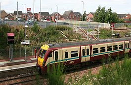 Partick bound train entering station with car park behind
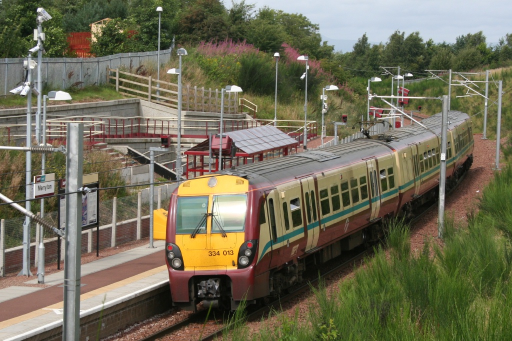
Merryton railway station is a railway station in Larkhall, Scotland. The station is managed by First ScotRail and lies on the Argyle Line.
The station was officially opened on 9 December 2005, as part of the Larkhall branch re-opened at the same time.
The station is located on the CR Mid Lanark Lines just south of the site of the previous Merryton Junction where the Caledonian Railway Coalburn Branch diverged from the CR Mid Lanark Lines.
Services
From the opening of the Larkhall Branch in December 2005, a service has operated on Monday to Saturdays to Dalmuir via Glasgow Central northbound and to Larkhall southbound every 30 minutes.
In December 2007 an hourly service (in each direction) commenced on Sundays.
Preceding station  National Rail
Following station Larkhall First ScotRail
Chatelherault Sources
- Jowett, Alan (March 1989). Jowett's Railway Atlas of Great Britain and Ireland: From Pre-Grouping to the Present Day (1st ed.). Sparkford: Patrick Stephens Ltd. ISBN 1-8526-0086-1. OCLC 22311137.
- RAILSCOT on Coalburn Branch
- RAILSCOT on Merryton Junction
- New Link for Larkhall opens - BBC News Scotland website
Categories:- Railway stations in South Lanarkshire
- Railway stations opened by Network Rail
- Railway stations opened in 2005
- SPT railway stations
- Railway stations served by First ScotRail
- Scotland railway station stubs

Wikimedia Foundation. 2010.