San Emigdio Mountains

San Emigdio Mountains

Geobox|Range
name=San Emigdio Mountains


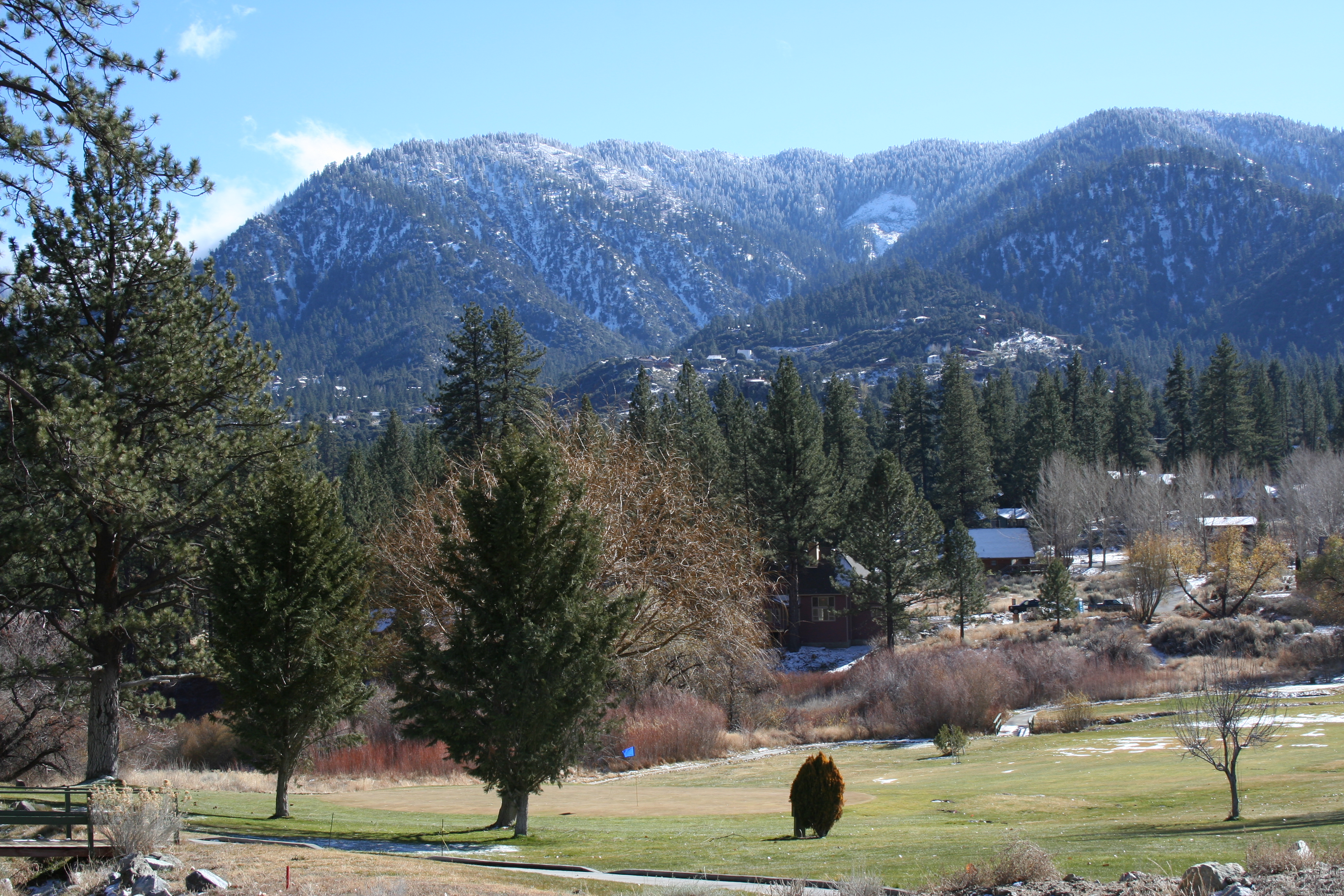
image_caption=Mt. Pinos pictured on the top right
country=United States
state=California
region_type = Counties
region=Kern
region1=Ventura
region2=Los Angeles
parent=Transverse Ranges
border=Tehachapi Mountains|border1=Temblor Range
geology= |period= |orogeny=
highest=Mount Pinos
highest_elevation_imperial=8831
highest_lat_d=
highest_long_d=

The San Emigdio Mountains are a part of the Transverse Ranges in Southern California, extending from Interstate 5 at the Grapevine on the east side, to Highway 33-166 on the west. They link the Tehachapis and Temblor Range and form the southern wall of the San Joaquin Valley.

The range is within Los Angeles, Ventura, and Kern Counties. Mount Pinos is the highest point at 8,831 feet. The mountains generally lie in an east-west direction.

Towns or settlements within the San Emigdio Mountains include Frazier Park, Lake of the Woods, and Pine Mountain Club.

Highest peaks

* Mount Pinos 8,831 ft (2,692 m)
* Sawmill Mountain 8,818 ft (2,688 m)
* Grouse Mountain 8,582 ft (2,616 m)
* Cerro Noroeste 8,286 ft (2,526 m)
* Frazier Mountain 8,026 ft (2,446 m)
* San Emigdio Mountain 7,492 ft (2,284 m)
* Tecuya Mountain 7,160+ ft (2,182+ m)
* Escapula Peak 7,080+ ft (2,158+ m)
* Brush Mountain 7,048 ft (2,148 m)
* Antimony Peak 6,848 ft (2,087 m)
* Eagle Rest Peak 6,005 ft (1,830 m)

ee also

* Mountain Communities of the Tejon Pass
* Santa Ynez Mountains
* San Rafael Mountains
* Santa Susana Mountains
* Topatopa Mountains

External links

* [http://www.peakbagger.com/range.aspx?rid=12313 The San Emigdio Mountains]


Wikimedia Foundation. 2010.

Игры ⚽ Поможем сделать НИР

Look at other dictionaries:

  • San Emigdio Mountains — p1f1 San Emigdio Mountains Höchster Gipfel San Emigdio Mountain (2.284 m) Lage Kalifornien (USA) Teil der Transverse Ranges …   Deutsch Wikipedia

  • San Emigdio Mountain — Infobox Mountain Name=San Emigdio Mountain Photo= Caption= Elevation=convert|7492|ft|m|0|lk=on Range=San Emigdio Mountains Location=California, USA Prominence=convert|1372|ft|m|0|abbr=on Coordinates=coord|34|52|24|N|119|10|44|W|type:mountain… …   Wikipedia

  • Tehachapi Mountains — Geobox|Range name=Tehachapi Mountains image caption=Wind farm east of Tehachapi Pass country=United States state = California region type = Counties region=Kern region1=Los Angeles region2= border=Coast Ranges| border1=Sierra Nevada… …   Wikipedia

  • Sierra Pelona Mountains — Geobox | Range name=Sierra Pelona Mountains image caption= country=United States state=California region=Los Angeles County| region type=County border=San Gabriel Mountains highest=Burnt Peak highest elevation imperial=5788 highest lat d=34 |… …   Wikipedia

  • Tehachapi Mountains — Tehachapi Mountains …   Deutsch Wikipedia

  • Sierra Pelona Mountains — p1f1p5 Sierra Pelona Mountains Höchster Gipfel Burnt Peak (1.764 m) Lage Kalifornien (USA) …   Deutsch Wikipedia

  • Transverse Ranges — San Gabriel Mountains …   Deutsch Wikipedia

  • Temblor Range — ▪ mountains, California, United States       segment of the Coast Ranges (see Pacific mountain system), south central California, U.S. It extends southeastward for about 50 miles (80 km) from northwestern Kern county to the San Emigdio Mountains… …   Universalium

  • Mountain peaks of California — See also: Mountain peaks of the United States Contents 1 Highest major summits 2 Most prominent summits 3 …   Wikipedia

  • Transverse Ranges — The Transverse Ranges (or more accurately, the Los Angeles Ranges) are a group of mountain ranges of southern California, one of the various North American Coast Ranges that run along the Pacific coast from Alaska to Mexico. They begin at the… …   Wikipedia

Share the article and excerpts

Direct link
Do a right-click on the link above
and select “Copy Link”