- Alpena County Regional Airport
Infobox Airport
name = Alpena County Regional Airport
nativename =
nativename-a =
nativename-r =
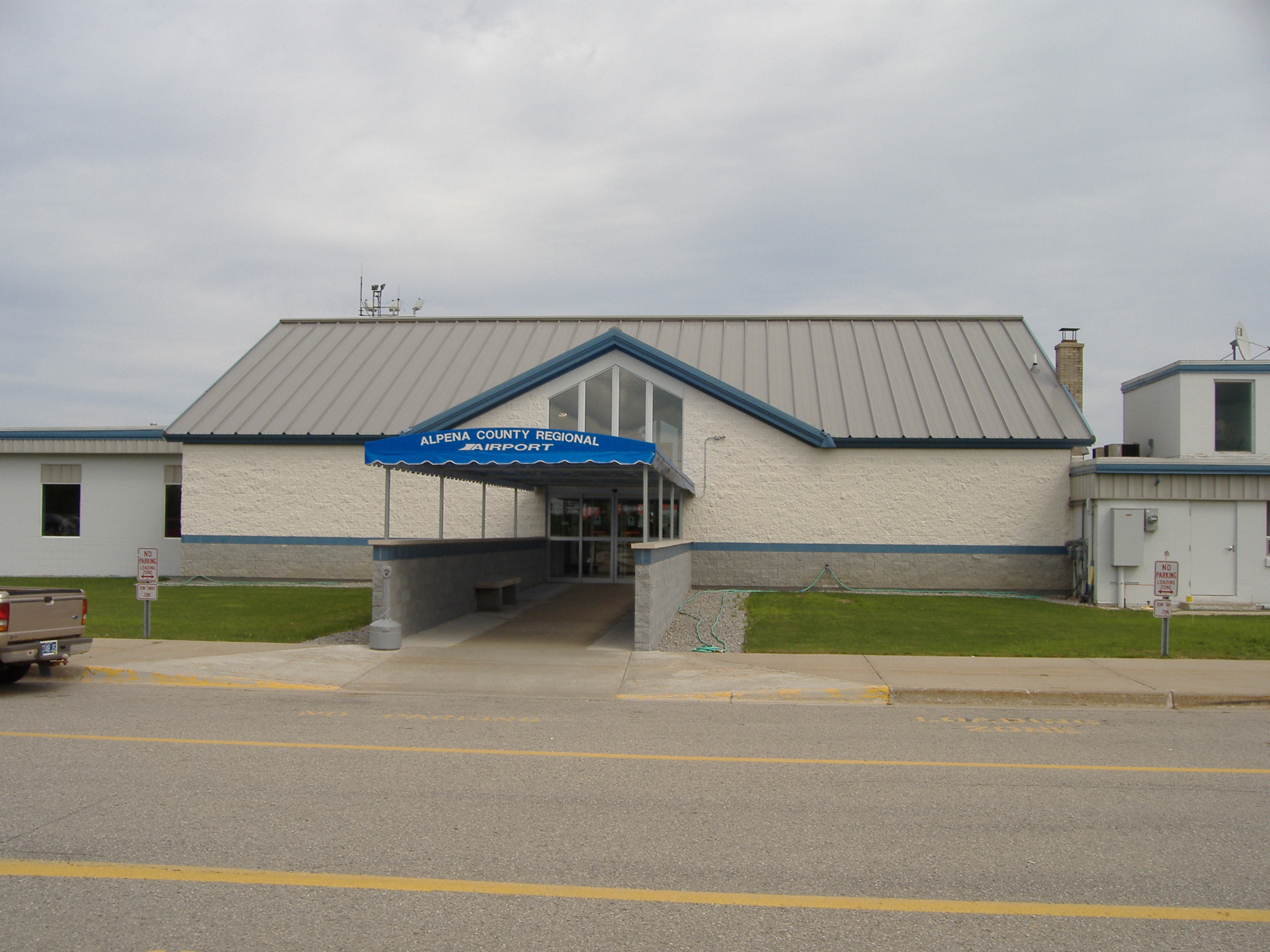
image-width =
caption =
IATA = APN
ICAO = KAPN
FAA = APN
type = Public
owner =Alpena County, Michigan
operator =
city-served = Alpena
location = Maple Ridge Township/Wilson Township
elevation-f = 689
elevation-m = 210
coordinates = Coord|45|04|41|N|83|33|37|W|type:airport_region:US
website = [http://www.alpenaairport.com/ alpenaairport.com]
r1-number = 1/19
r1-length-f = 9,001
r1-length-m = 2,744
r1-surface =Concrete
r2-number = 7/25
r2-length-f = 5,031
r2-length-m = 1,533
r2-surface = Concrete
stat-year =
stat1-header =
stat1-data =
stat2-header =
stat2-data =
footnotes =Alpena County Regional Airport Airport codes|APN|KAPN|APN is a public-use
airport in theU.S. state ofMichigan located convert|6|mi|km west of thecentral business district of Alpena off of M-32 . It straddles the boundary between Maple Ridge Township on the north and Wilson Township on the south in Alpena County. It is mostly used forgeneral aviation , but is also served by one commercial airline,Northwest Airlines .It is said to be the "Proud home of Alpena Combat Readiness Training Center." [ [http://www.alpenaairport.com/ Alpena County Regional Airport Official site.] ]
Several scenes of the film "
Die Hard 2 " were shot there.Facilities
Alpena County Regional Airport covers convert|1284|acre|ha|0|lk=on and has two
runways :
* Runway 1/19: 9001 x 150 ft (2744 x 46 m), Surface:Concrete
* Runway 7/25: 5031 x 100 ft (1533 x 30 m), Surface: ConcreteAirline
*
Northwest Airlines
**Northwest Airlink operated byMesaba Aviation (Detroit, Sault Ste. Marie)History
During
World War II the airfield was used by theUnited States Army Air Force ee also
*
Michigan World War II Army Airfields References
*FAA-airport|ID=APN|use=PU|own=PU|site=09518.*A
External links
* [http://www.alpenaairport.com/ Alpena County Regional Airport Official site.]
Wikimedia Foundation. 2010.