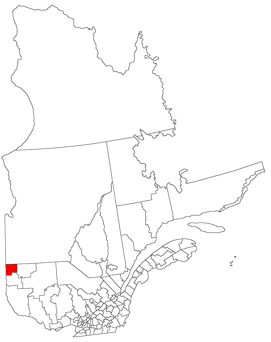
- Abitibi-Ouest Regional County Municipality, Quebec
-
Abitibi-Ouest — Regional County Municipality — (Quebec) 
Country  Canada
Province  Quebec
Region Abitibi-Témiscamingue Incorporated Jan 01, 1982 Government[1] – Type Regional County Municipality Area[2] – Land 3,333.40 km2 (1,287 sq mi) Population (2006)[2] – Total 20,792 – Density 6.2/km2 (16.1/sq mi) – Change * -5.4% – Dwellings 9,613 * Change from 2001 census Time zone EST (UTC-5) Website www.mrc.ao.ca Abitibi-Ouest Regional County Municipality (Abitibi West) is located in Northwestern Quebec. The Regional County Municipality seat is La Sarre.
Contents
Communities
- Municipalities
- Township Municipalities
- Parish Municipalities
- Sainte-Hélène-de-Mancebourg
- Saint-Lambert
- Unorganized Areas
Demographics
(Statistics Canada, 2006)
- Population: 20,792
- Population change (2001-2006): -5.4
- Dwellings: 9,613
- Area (km²): 3,333.40
- Density (per km².): 6.2
Attractions and other areas
Antoine Marsh (Roquemaure)
Calamite Covered Bridge [1927] (La Sarre)
Culture House (La Sarre)
Interpretation de la foresterie Centre (La Sarre)
La Salle Airport (Clermont)
Leclerc Covered Bridge [1927] (La Sarre)
l'Ile Covered Bridge [1946] (Clerval)
Joseph Berube Collection (Gallichan)
Molesworth Covered Bridge [1930] (Macamic Ville)
Notre-Dame-des-pauvres Sanctuary (Dupuy)
Petit-Quatre Covered Bridge [1950] (Clermont)
Rang 11 School (Authier)
Rapide-Danseur Church (1942) (Rapide Danseur)
Sang-Neuf-Art Gallery (Palmarolle)Protected areas
Parc national d'Aiguebelle
Access routes
Highways and numbered routes that run through the municipality, including external routes that start or finish at the county border:
- Autoroutes
- None
- External Routes
Bordering counties

Cochrane District, Ontario Jamésie Timiskaming District, Ontario 
Abitibi  Abitibi-Ouest

Rouyn-Noranda References
External links
Administrative divisions of Abitibi-Témiscamingue (Region 08)Regional county municipalities
and equivalent territoriesTémiscamingue · Rouyn-Noranda · Abitibi-Ouest · Abitibi · La Vallée-de-l'Or
Municipalities Témiscaming · Ville-Marie · Belleterre · Rouyn-Noranda · Duparquet · Macamic · La Sarre · Amos · Val-d'Or · Malartic · Senneterre (V)
Categories:- Regional county municipalities in Abitibi-Témiscamingue
- Census divisions of Quebec
Wikimedia Foundation. 2010.