- Posof
Infobox Settlement
settlement_type = District
subdivision_type = Country
subdivision_name = TUR
timezone=EET
utc_offset=+2
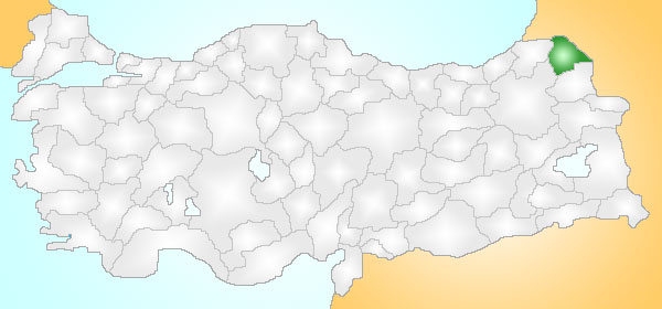
map_caption =Location of PAGENAME within Turkey.
timezone_DST=EEST
utc_offset_DST=+3official_name = Posof
image_caption =
image_blank_emblem =
blank_emblem_type =
subdivision_type1=Region
subdivision_name1 = Mediterranean
subdivision_type2=Province
subdivision_name2 = Ardahan| population_total = 12725|population_footnotes=
population_as_of =| 2000
population_density_km2 =
area_total_km2 = 606|elevation_m = 1583|latd = 41
latm = 30
latNS = N
longd = 42
longm = 43
longEW = E
postal_code_type=Postal code
postal_code = 75xxx
area_code = (0090)+ 478
leader_name =
blank_info = 75|blank_name=Licence plate
website =Posof is a district of
Ardahan Province ofTurkey , in the far east of the country, on the border with Georgia, 75km from the city ofArdahan .Formerly named "Postkhovi" (ფოცხოვი) under Georgian rule, and later as "Duğur".
Geography
Posof is high in the mountains near the source of the River
Çoruh , much of the district is pine forest.History
In 1064 the
Seljuk Turk ish SultanAlparslan besieged Kol castle while passing over Mount Arşiyan to conquer the city ofAni . By 1080 theGeorgians had been removed and the area was in the hands of the Seljuks.During the
First World War and theTurkish War of Independence in the 1920s Posof was the scene of fighting betweenTurkey andRussia .Today this is an impoverished rural area that has seen many of its residents migrate to jobs abroad. One source of income is beekeeping.
Wikimedia Foundation. 2010.
