- Wuwei
Infobox Settlement
name =Wuwei
official_name =
other_name =
native_name =
nickname =
settlement_type =Prefecture-level city
total_type =
motto =
translit_lang1=Chinese
translit_lang1_type=characters
translit_lang1_info=武威
translit_lang1_type1=Pinyin
translit_lang1_info1=Wǔwēi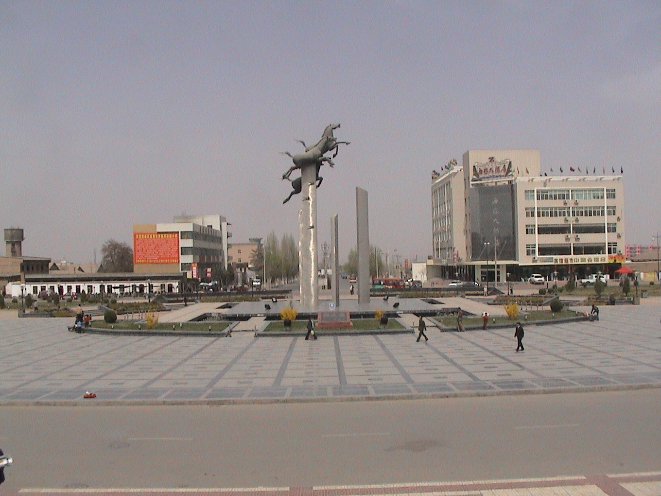
imagesize = 220px
image_caption = The square at the Wuwei railway station
flag_size =
image_
seal_size =
image_shield =
shield_size =
image_blank_emblem =
blank_emblem_type =
blank_emblem_size =.png)
mapsize = 220px
map_caption = Location of Wuwei Prefecture (yellow) withinGansu
mapsize1 =
map_caption1 =
image_dot_
dot_mapsize =
dot_map_caption =
dot_x = |dot_y =
pushpin_
pushpin_label_position =
pushpin_map_caption =
pushpin_mapsize =
subdivision_type = Country
subdivision_name = China
subdivision_type1 = Province
subdivision_name1 =Gansu
subdivision_type2 =
subdivision_name2 =
seat_type =
seat =
parts_type =
parts_style =
parts =
p1 =
p2 =
government_footnotes =
government_type =
leader_title =
leader_name =
leader_title1 =
leader_name1 =
leader_title2 =
leader_name2 =
leader_title3 =
leader_name3 =
leader_title4 =
leader_name4 =
established_title =
established_date =
established_title1 =
established_date1 =
established_title2 =
established_date2 =
established_title3 =
established_date3 =
founder =
named_for =
area_magnitude =
unit_pref =
area_footnotes =
area_total_km2 =33000
area_land_km2 =
area_water_km2 =
area_total_dunam =
area_total_sq_mi =
area_land_sq_mi =
area_water_sq_mi =
area_water_percent =
area_urban_km2 =
area_urban_sq_mi =
area_metro_km2 =
area_metro_sq_mi =
area_blank1_title =
area_blank1_km2 =
area_blank1_sq_mi =
elevation_footnotes =
elevation_m =
elevation_ft =
elevation_max_m =
elevation_max_ft =
elevation_min_m =
elevation_min_ft =
population_as_of =
population_footnotes =
population_note =
population_total =1930200
population_density_km2 =auto
population_density_sq_mi =
population_metro =
population_density_metro_km2 =
population_density_metro_sq_mi =
population_urban =
population_density_urban_km2 =
population_density_urban_sq_mi =
population_blank1_title =
population_blank1 =
population_density_blank1_km2 =
population_density_blank1_sq_mi =
timezone = China Standard
utc_offset = +8
timezone_DST =
utc_offset_DST =
coor_type =
latd=37 |latm=56 |lats= |latNS=N
longd=102 |longm=38 |longs= |longEW=E
postal_code_type =
postal_code =
area_code =
blank_name =
blank_info =
blank1_name =
blank1_info =
blank2_name =
blank2_info =
blank3_name =
blank3_info =
blank4_name =
blank4_info =
blank5_name =
blank5_info =
blank6_name =
blank6_info =
website =http://www.ww.gansu.gov.cn/
footnotes = Wuwei is located in northwest central Gansu province. In the north it bordersInner Mongolia , in the southwest,Qinghai . Its central location between three western capitals,Lanzhou ,Xining , andYinchuan makes it an important business and transportation hub for the area. Because of its position along theHexi Corridor , historically the only route from central China to western China and the rest ofCentral Asia , many major railroads and national highways pass through Wuwei.Geography, geology and climate
Wuwei's geography is dominated by three plateaus, the Loess, Tibetan, and Mongolian. Elevation can be generalized as, the south is high and the north is low, with elevations ranging from 1020–4874 meters above sea-level. Its area is 33,000 km². Average annual temperature is 7.8 °C. The climate is arid or semi-arid with rainfall between 60–610 mm. Evaporation is from 1400-3000 mm, creating a net loss of water each year. There are 2200–3000 sunlight hours each year and from 85–165 frost free days.
Southwest of Wuwei is the 230 meter thick Tianzhu Formation made of
clastics intercalated with sandyshale and shale. [Chih-i Chou, William Thornton Dean, "Phanerozoic Geology of Northwest China", 1996,316 pages ISBN 9067642282] Minerals deposits occurring in the vicinity of Wuwei includegraphite , iron,titanium , andlimestone .History
In ancient times Wuwei was called Liangzhou (凉州) and is the eastern terminus of the Hexi Corridor. People began settling here 5000 years ago. It was a key link for the
Northern Silk Road , [ [http://www.megalithic.co.uk/article.php?sid=18006 "Silk Road, North China", C Michael Hogan, The Megalithic Portal, ed. A Burnham] ] and a number of importantarchaeological finds derive from Wuwei including ancient copper carts with stone animals. [Zhang Yiping, "Story of the Silk Road", 2005, 五洲传播出版社, ISBN 750850832] In121 BC Han emperor Wudi brought his cavalry here to defend the Hexi Corridor. His military success allowed him to expand the corridor west. Its importance as a stop along theSilk Road made it a crossroads of cultures and ethnicities from all over central Asia. Numerous Buddhistgrotto es and temples in the area attest to its role as a path for bringing Buddhism fromIndia andAfghanistan to China.Famous cultural relics from Wuwei include the Galloping Bronze Horse (铜奔马), Western Xia stele (西夏碑), White Tower Temple (白塔寺), Tianti Mountain Grotto (天梯山石窟), Luoshi Temple Tower (罗什寺塔), and the Wen Shrine (文庙).
Administration
1 urban district, 2 counties, 1 autonomous county, 116 towns, and 41 townships
City district:
*Liangzhou (凉州区)Counties:
*Minqin (民勤县)
*Gulang (古浪县)Autonomous county:
*Tianzhu Tibetan Autonomous County (天祝藏族自治县)Demographics
Population 1,930,200, urban 509,600 with 38 ethnic groups represented including Han, Hui,
Mongol , Tu, Tibetan, etc.Economy
Consistent sunlight and fertile soil make agriculture one of Wuwei’s biggest industries. Other important industries are textiles, metallurgy, and construction materials. Melons, vegetables, wine and livestock are all major agricultural products.
Organic farming is a trend with more land being set aside for “green farming” each year. Land use can be broken down into the following:* 790 km² of water
* 34,800 km² of forest
* 355,300 km² of grassland.
* 247,000 km² of “undeveloped” land.
* 39,100 km² of farmland.
** 8,000 km² of corn
** 4,000 km² of vegetables
** 3,000 km² of melons
** 5,000 km² for livestock
** 800 km² of vineyardsNotes
External links
* [http://www.ww.gansu.gov.cn/ Official website of Wuwei government]
* [http://www.gansu.gov.cn/en/default.asp Gansu Province Official Website]
Wikimedia Foundation. 2010.