- Gülyalı
Infobox Settlement
settlement_type = Town
subdivision_type = Country
subdivision_name = TUR
timezone=EET
utc_offset=+2
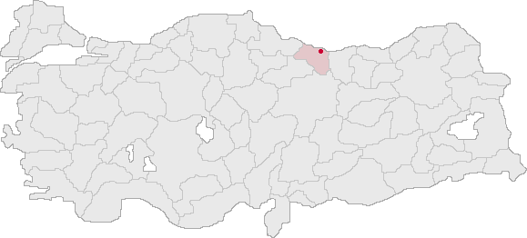
map_caption =Location of PAGENAME within Turkey.
timezone_DST=EEST
utc_offset_DST=+3official_name = Gülyalı
image_caption =
image_blank_emblem =
blank_emblem_type =
subdivision_type1=Region
subdivision_name1 = Black Sea
subdivision_type2=Province
subdivision_name2 = Ordu| population_total =
population_as_of = 2003
population_footnotes =
population_density_km2 =
area_total_km2 =
elevation_m = 0|latd = 40
latm = 58
latNS = N
longd = 38
longm = 04
longEW = E
postal_code_type=Postal code
postal_code = 52
area_code = 0452
blank_info = 52|blank_name=Licence plate
leader_name =
website =Gülyalı (formerly Abulhayır) is a town and a district of
Ordu Province on theBlack Sea coast ofTurkey , 15km east of the city ofOrdu , towardsGiresun .Gülyalı is an attractive, green district.
Wikimedia Foundation. 2010.
