- Caspar, California
Infobox Settlement
official_name = Caspar, California
settlement_type = Unincorporated community
imagesize = 250px
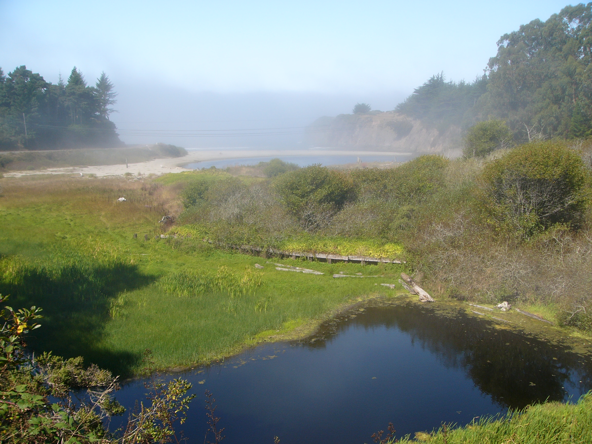
image_caption = Former mill site in Caspar, California
image_
mapsize =
map_caption =
mapsize1 =
map_caption1 =
subdivision_type = Country
subdivision_type1 = State
subdivision_type2 = County
subdivision_name =United States
subdivision_name1 =California
subdivision_name2 = Mendocino
government_type =
leader_title =
leader_name =
established_date =
area_magnitude =
area_total_km2 =
area_land_km2 =
area_water_km2 =
area_total_sq_mi =
area_land_sq_mi =
area_water_sq_mi =
elevation_m =
elevation_ft =
latd = 42 |latm = 00 |lats = 00 |latNS = N
longd = 123 |longm = 37 |longs = 30 |longEW = W
population_as_of =
population_total =
population_density_km2 =
timezone = PST
utc_offset = -8
timezone_DST = PDT
utc_offset_DST = -7
latitude = 42°00'00" N
longitude = 123°37'30" W
website =
postal_code_type =ZIP code
postal_code = 95420
area_code = 707
blank_name =
blank_info =
footnotes =Caspar is an
unincorporated town located in coastalMendocino County, California . In the Caspar area is the historic Point Cabrillo Light Station, which was built in 1909.History
Caspar was first settled in 1857 by Siegfried Caspar, who later sold the land to Jacob Green Jackson, one of the founders of the Caspar Lumber Company, which turned Caspar into a significant logging town in Northern California from 1864 to 1955.Fact|date=September 2008 Pilings from the mill can be seen on Caspar Beach, located south of the community.
Oscar Smith, owner of the Caspar Cattle Company, recently put much of Caspar's land up for sale, sparking debate and discussion in the sometimes divided community. In 2000, a large chunk of the Caspar headlands was purchased by the Mendocino Land Trust, forming Caspar Headlands State Reserve. However, a large portion of the area is still for sale, and the fate of the area remains in question.Fact|date=September 2008
Geography
Caspar is located at 42 00 00 North, 123 37 30 West.
The United States does not define a
census-designated place called Caspar, but it does define aZip Code Tabulation Area (ZCTA) in the area, 95420. According to theUnited States Census Bureau , the ZCTA has a total area of 7.1square mile s (18.5km² ), of which, 7.1 square miles (18.5 km²) of it is land and none of it is covered by water. It is inarea code 707 .Demographics
As of the
census of 2000, there are 317 people, 145 households, and 77 in the ZCTA 95420. Thepopulation density is 41/sq mi. There are 204 housing units, of which 20.3% are vacant, with 12.1% reserved for vacation/recreational use. The racial makeup of the ZCTA is 88%White , .6%Black orAfrican American , .6% Native American, .6% Asian, 4.7% from other races, and 5.4% from two or more races. 3.5% of the population areHispanic orLatino of any race.There are 145 households out of which 19.3% have children under the age of 18 living with them, 42% are
married couples living together, 8.3% have a female householder with no husband present, and 46.9% are non-families. 37.2% of all households are made up of individuals and 9.7% have someone living alone who is 65 years of age or older. The average household size is 2.14 and the average family size is 2.77.In the ZCTA the population is spread out with 17% under the age of 18, 3.5% from 18 to 24, 23.6% from 25 to 44, 39.7% from 45 to 64, and 16.2% who are 65 years of age or older. The median age is 47 years. 47.6% of the population is male, 52.4 female.
The median income for a household in the ZCTA is $37,813, and the median income for a family is $47,639. Males have a median income of $55,357 versus $27,841 for females. The per capita income for the ZCTA is $26,191. 22% of the population and 42.4% of families are below the poverty line. Out of the total population, 43.6% of those under the age of 18 are living below the poverty line.
Politics
In the state legislature Caspar is located in the 2nd Senate District, represented by Democrat
Pat Wiggins , and in the 1st Assembly District, represented by Democrat Patty Berg. Federally, Caspar is located inCalifornia's 1st congressional district , which has a Cook PVI of D +10 [cite web | title = Will Gerrymandered Districts Stem the Wave of Voter Unrest? | publisher = Campaign Legal Center Blog | url=http://www.clcblog.org/blog_item-85.html | accessdate = 2007-10-20] and is represented by DemocratMike Thompson .External links
References
Wikimedia Foundation. 2010.
