North Bethesda Trail

North Bethesda Trail

The North Bethesda Trail, previously known as the "Bethesda Trolley Trail," is a 2.8-mile (4.5 km) long rail trail from the city of Rockville to Bethesda, Maryland.

The trail runs on the abandoned right-of-way of the Tennallytown and Rockville Railroad aka the Washington and Rockville trolley. Streetcars started running on the line in 1890 and ran until 1935 when it converted to buses.

Bridges over I-270 and I-495 opened in 2003. While this made a contiguous trail, upgrades and further construction are planned. Construction continued in 2005.

External links

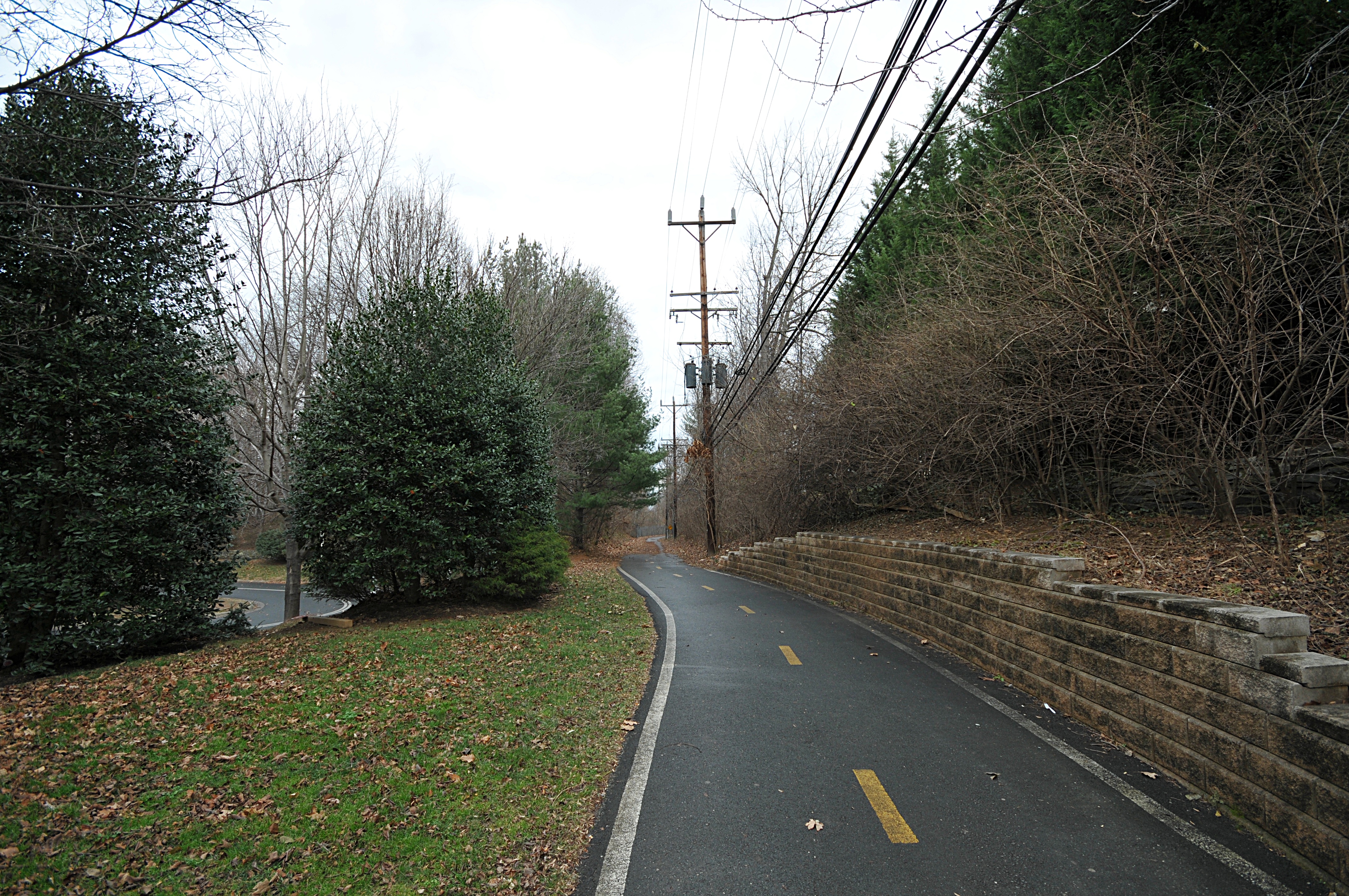
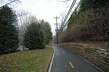
The trail at Montgomery Dr


Wikimedia Foundation. 2010.

Игры ⚽ Поможем написать курсовую

Look at other dictionaries:

  • North Bethesda, Maryland —   CDP   …   Wikipedia

  • Bethesda, Maryland — Infobox Settlement official name = Bethesda, Maryland settlement type = CDP nickname = motto = imagesize = 250x200px image caption = Panorama of downtown Bethesda (taken from the Residence Inn Bethesda at 7335 Wisconsin Avenue.) image mapsize =… …   Wikipedia

  • Madonna of the Trail — is a series of 12 monuments dedicated to the spirit of pioneer women in the United States. The monuments were commissioned by the National Society of Daughters of the American Revolution (NSDAR). They were placed along the National Old Trails… …   Wikipedia

  • High Point, North Carolina — For other places named High Point, see High Point (disambiguation). High Point   City   City of High Point …   Wikipedia

  • Lexington, North Carolina —   City   Nickname(s): Barbecue Capital of the World …   Wikipedia

  • Capital Crescent Trail — It is the most heavily used rail trail in the United States and is used by more than 1 million walkers, joggers, bikers, and rollerbladers each year. In 2005, it was named one of the 21 great places that show how transportation can enliven a… …   Wikipedia

  • Durham County, North Carolina — Location in the state of North Carolina …   Wikipedia

  • Durham, North Carolina —   City   Clockwise from top: Durham skyline, North Carolina School of Science and Mathematics, Five Points, Carolina Theater, Durham Performing Arts Center, Duke …   Wikipedia

  • Raleigh, North Carolina — For other uses of this name, see Raleigh. Raleigh   State Capital   City of Raleigh …   Wikipedia

  • Chapel Hill, North Carolina — Coordinates: 35°56′N 79°2′W / 35.933°N 79.033°W / 35.933; 79.033 …   Wikipedia

Share the article and excerpts

Direct link
Do a right-click on the link above
and select “Copy Link”