- Miller cylindrical projection
-
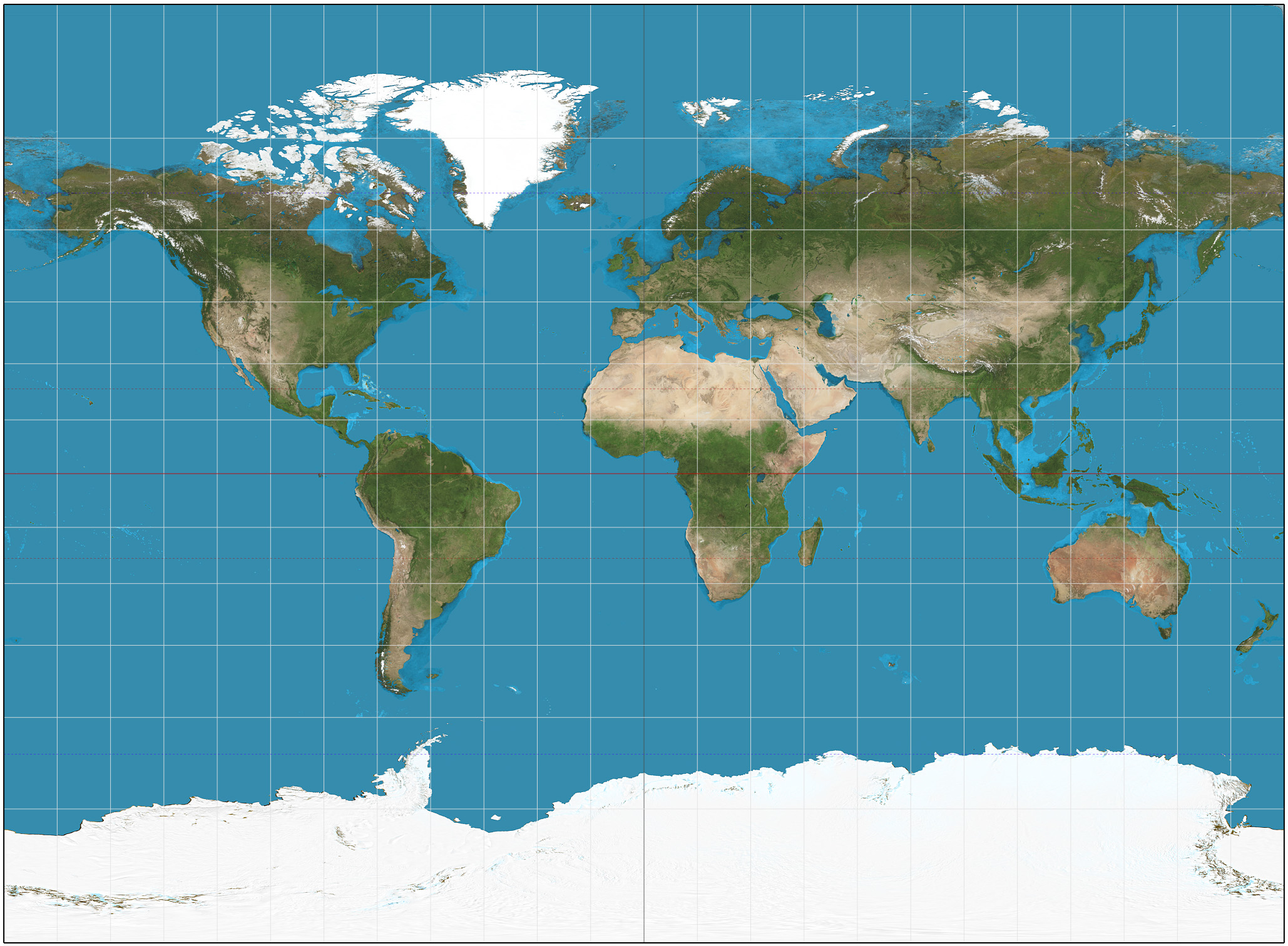
 A Miller projection of the Earth.

The Miller cylindrical projection is a modified Mercator projection, proposed by Osborn Maitland Miller (1897–1979) in 1942. The latitude is scaled by a factor of 4/5, projected according to Mercator, and then the result is multiplied by 5/4 to retain scale along the equator.[1] Hence:
where λ is the longitude from the central meridian of the projection, and
 is the latitude. Meridians are thus about 0.733 the length of the equator.
In GIS applications, this projection is known as: "EPSG:54003 - World Miller Cylindrical"
References
- ^ Flattening the Earth: Two Thousand Years of Map Projections, John P. Snyder, 1993, pp. 179, 183, ISBN 0-226-76747-7.
External links
- Table of examples and properties of all common projections, from radicalcartography.net
- An interactive Java Applet to study the metric deformations of the Miller Projection.
- Math formulae information
- Spatial information
- Historical information

This cartography or mapping term article is a stub. You can help Wikipedia by expanding it.


![y = \frac 5 4 \ln\left[\tan\left(\frac 1 4 \pi + \frac 2 5 \varphi\right)\right]](a/61aca36865b0b92ba3332bc9cf4a94b1.png)