- Onslow, Western Australia
-
Onslow
Western Australia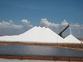
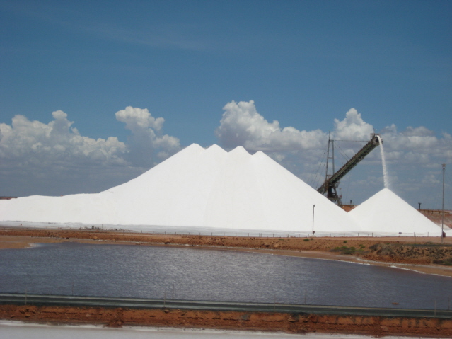
Salt mine near Onslow
 Onslow
Population: 573[1] Established: 1880s Postcode: 6710 Location: LGA: Shire of Ashburton State District: North West Federal Division: Durack Coordinates: 21°38′10″S 115°06′43″E / 21.636°S 115.112°E
Onslow Climate chart (explanation) J F M A M J J A S O N D 2636245136245035232133204729164426131825128.827121.229140.832171.434195.23522Average max. and min. temperatures in °C Precipitation totals in mm Source: Bureau of Meteorology Imperial conversion J F M A M J J A S O N D 1967529676296740.892691.884611.778560.777530.3805408458089620.193670.29571Average max. and min. temperatures in °F Precipitation totals in inches Onslow is a coastal town in the Pilbara region of Western Australia, 1,386 kilometres (861 mi) north of Perth. It currently has a population of around 573 people and is in the Shire of Ashburton Local Government Area.[1]
Onslow was founded in 1883 as a port at the mouth of the Ashburton River for exporting wool from the sheep stations of the Pilbara hinterland. It was named after the then Chief Justice of Western Australia, Sir Alexander Campbell Onslow (1842–1908). Wool continued to be the major industry for the next eighty years, despite the extraordinary extremes of drought and flood that characterize the region and are related to the passage or absence of cyclones. For instance, whereas in 1912 Onslow received only 14.8 millimetres (0.58 in) of rainfall and in 1935 and 1936 combined only 120 millimetres (4.7 in), between late January and early March 1961 three cyclones smashed into the town and gave it 900 millimetres (35.4 in) in five weeks.
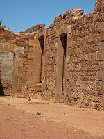 A Kangaroo in the ruins of old Onslow.
Although a large jetty was built at the original site of Onslow, repeated damage whenever a cyclone hit or the Ashburton River flooded led government officials in Perth to establish a new town well away from the river after another cyclone in January 1925. The new location for Onslow proved rather better protected from the cyclones' violence. However a major long-term drought between 1935 and 1941, during which time only one cyclone hit (in April 1937) and did not produce rain on the inland sheep stations, led to a decline in Onslow's fortunes.
During World War II, Onslow was the most southerly town in Australia bombed by the Japanese.
Since the war, the declining purchasing power of wool, has, in spite of consistently good rainfall on the inland sheep stations since the late 1960s, led to a change in focus of Onslow's economy from wool to tourism. It is currently the major town of the "Coral Coast", and a base for such activities as scuba diving on the coral reefs offshore from the town.
Contents
See also
References
- ^ a b Australian Bureau of Statistics (25 October 2007). "Onslow (L) (Urban Centre/Locality)". 2006 Census QuickStats. http://www.censusdata.abs.gov.au/ABSNavigation/prenav/LocationSearch?collection=Census&period=2006&areacode=UCL521800&producttype=QuickStats&breadcrumb=PL&action=401. Retrieved 2009-01-27.
Further reading
- Webb, Martyn and Audrey (1983) Edge of Empire Artlook Books ISBN 0864450281
External links
- Onslow Information Updated 07-Apr-11
Towns in the Shire of Ashburton | Western Australia Onslow · Pannawonica · Paraburdoo · Tom Price · Wittenoom
Towns in the Pilbara region of Western Australia Cossack · Dampier · Goldsworthy · Jigalong · Karratha · Marble Bar · Newman · Nullagine · Onslow · Pannawonica · Paraburdoo · Point Samson · Port Hedland · Roebourne · Shay Gap · South Hedland · Telfer · Tom Price · Whim Creek · Wickham · Wittenoom
Categories:- Towns in Western Australia
- Pilbara
- Coastal towns in Western Australia


Wikimedia Foundation. 2010.