- North Cockerington
-
Coordinates: 53°23′48″N 0°03′53″E / 53.396655°N 0.0648216°E
North Cockerington 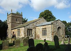
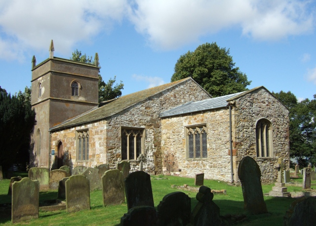
St Mary, North Cockerington
 North Cockerington
North Cockerington shown within LincolnshirePopulation 192 (2001) OS grid reference TF373908 District East Lindsey Shire county Lincolnshire Region East Midlands Country England Sovereign state United Kingdom Postcode district LN11 7 Police Lincolnshire Fire Lincolnshire Ambulance East Midlands EU Parliament East Midlands UK Parliament Louth and Horncastle List of places: UK • England • Lincolnshire 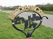 Village Signpost, Church Lane, North Cockerington
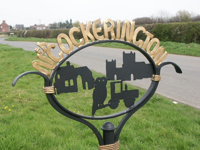
North Cockerington is a small village found approximately 4 miles to the east of Louth, in the English county of Lincolnshire. The village is home to the North Cockerington Church of England Primary School but has no shops or public houses.
The former Post Office in Meadow Lane, once called Ashdene and now known as Pump Cottage is reputed to be haunted. The population has fluctuated between 150 and 200 since at least 1801 and currently remains at just below 200 with an equal distribution of males/females. In 1670 Sir Jarvis Scrope founded six tenements for the poor people of North and South Cockerington. North Cockerington was formerly known as Cockerington St Mary, distinguishing it from Cockerington St Leonard, now South Cockerington.
See also
External links
 Media related to North Cockerington at Wikimedia CommonsCategories:
- Villages in Lincolnshire
- Civil parishes in Lincolnshire
- East Lindsey
- Lincolnshire geography stubs

Wikimedia Foundation. 2010.