- Musquodoboit River
-
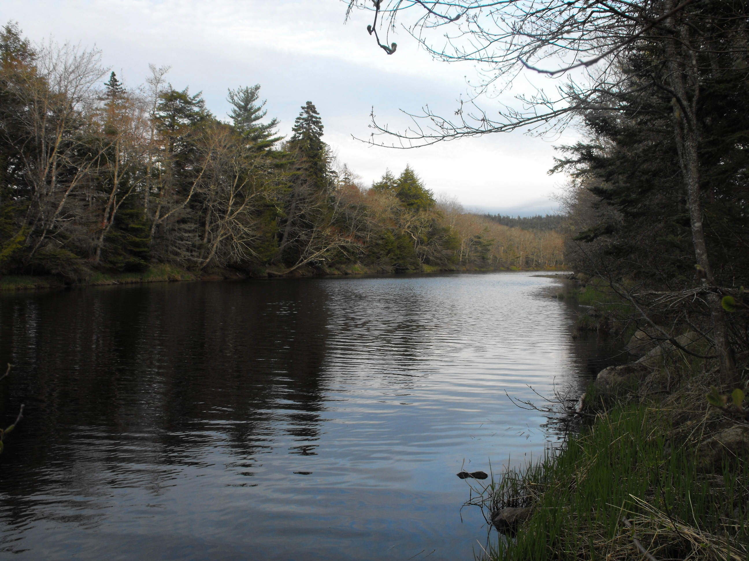
Musquodoboit River 
Country Canada State Nova Scotia Mouth Musquodoboit Harbour Length 97 km (60 mi) The Musquodoboit River (
 /ˌmʌskəˈdɒbɪt/) is a Canadian river located in central Nova Scotia in the northeastern part of Halifax Regional Municipality. The river is approximately 97 kilometres in length.[1]
The name "Musquodoboit" is Mi'kmaq, roughly translated to "beautiful water". It rises in the extreme northeastern part of the county near the boundary with Pictou and Guysborough counties. Rising in the Cobequid Mountains, the river runs in a southwesterly direction along the Halifax-Colchester county line through the fertile Musquodoboit Valley; Glenmore Mountain is on the north and a series of low hills are on the south.
Near the halfway point, the river changes course at a right angle, running toward the southeast where it empties into a bay on the Atlantic Ocean called Musquodoboit Harbour. other communities along its length include Middle Musquodoboit, Moose River, Elderbank, Meaghers Grant and Upper Musquodoboit. Dollar Lake flows into the Musquodoboit River.
The river is a popular recreational destination for central Nova Scotia as its calm and lack of rapids or waterfalls makes it ideal for paddling sports like canoeing and kayaking.
References
External links
- Musquodoboit Harbour headwater lakes - watershed flow charts
- Musquodoboit Valley Tourism Association
- Musquodoboit Trailway
Coordinates: 44°46′59.9″N 63°7′56.9″W / 44.783306°N 63.132472°W
Categories:- Rivers of Nova Scotia
- Geography of the Halifax Regional Municipality
Wikimedia Foundation. 2010.