- Copeton Dam
-
Copeton Dam Location of Copeton Dam

Location Inverell, New South Wales, Australia Coordinates 29°54′23″S 150°55′38″E / 29.90639°S 150.92722°ECoordinates: 29°54′23″S 150°55′38″E / 29.90639°S 150.92722°E Construction began 1968 Opening date 1973 Dam and spillways Type of dam Embankment Height 113 m Length 1,484 m Crest width 10.7 m Base width 427 m Impounds Gwydir River Type of spillway Service, 156 m wide gate-controlled chute Spillway capacity 1,280,000 megalitres ML/ day Reservoir Creates Copeton Reservoir Capacity 1,364,000 ML Catchment area 5,360 Sq. km Surface area 4,600 hectares Max. water depth 104 m 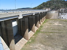 Copeton Dam Spillway - Northern side looking West
 Aerial photograph of Copeton Dam under construction in 1972
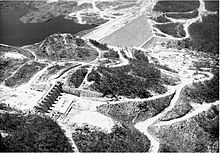
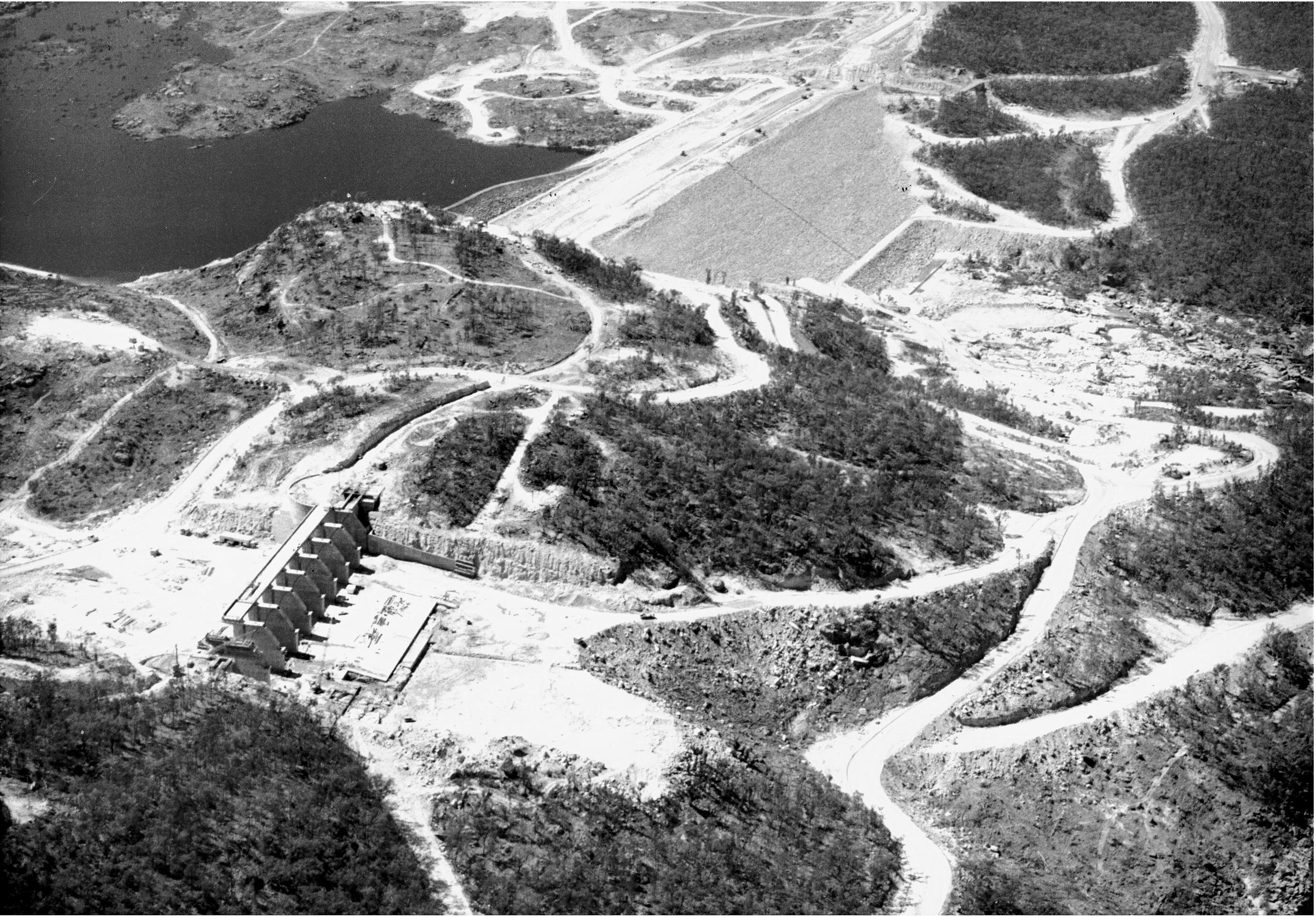
Copeton Dam is a 113 metres high, earth and rock fill embankment dam on the Gwydir River near Inverell, New South Wales, Australia. The dam was built by the New South Wales Water Conservation & Irrigation Commission and the Department of Water Resources to supply water for irrigation. Construction commenced in 1968, was commissioned in 1973 and completed in 1976.
In 2007, it was decided the dam would need an upgrade for safety reasons. The A$70 million upgrade is expected to take 10 years to complete and involves the construction of a fuse plug at Diamond Bay.[1] Once the fuse plug is installed the dam wall will be raised and the spillway gate modified.
Contents
Irrigation
Together with a series of diversionary weirs and regulatory works downstream from the dam, Copeton is able to provide a reliable flow of water to 30,000 ha of land. This amount is much less than the 50,000 ha originally planned because of higher rates of absorption and evaporation along some of the irrigation channels.[2] Despite these over-estimates irrigated agriculture in the Gwydir Valley saw the area become Australia's major cotton producing region.
Spillway
Unexpected erosion of hard, sound, unweathered granite in the unlined spillway discharge channel was caused by rock failure under high in-situ compressive stress. This type of erosion due to high in-situ stress has not been reported elsewhere in the world.[citation needed]
Remedial works involved building a training wall to separate the original single spillway into a service spillway and a secondary (emergency) spillway. A concrete slab, anchored to the underlying rock was constructed in the floor of the main scour channel to provide some additional protection on those rare occasions when the secondary spillway will discharge water over this area. The smaller, more frequent flood events will be discharged through the service spillway onto more scour resistant rock which has performed satisfactorily to date. The secondary spillway will operate very infrequently and will only discharge when the capacity of the service spillway is exceeded.
Geological investigations for the design of these remedial works included surface stress measurements in the unlined spillway discharge channel as well as geological mapping and diamond core drilling.
See also
References
- ^ Amy Slessor (26 October 2007). "Copeton Dam upgrade unveiled". Inverell Times (Fairfax Media). http://www.inverelltimes.com.au/news/local/news/general/copeton-dam-upgrade-unveiled/268511.aspx. Retrieved 3 April 2011.
- ^ Pigram, John J. (2007). Australia's Water Resources: From use to management. Collingwood, Victoria: CSIRO Pubishing. pp. 136—138. ISBN 9780643094420.
External links
Categories:- Reservoirs and dams in Australia
- New England, New South Wales


Wikimedia Foundation. 2010.