- Gwydir River
Infobox_River
river_name = Gwydir River
image_size =
caption =
origin = Northern Tablelands
mouth =
basin_countries = Australia
length =
elevation =
mouth_elevation =
discharge =
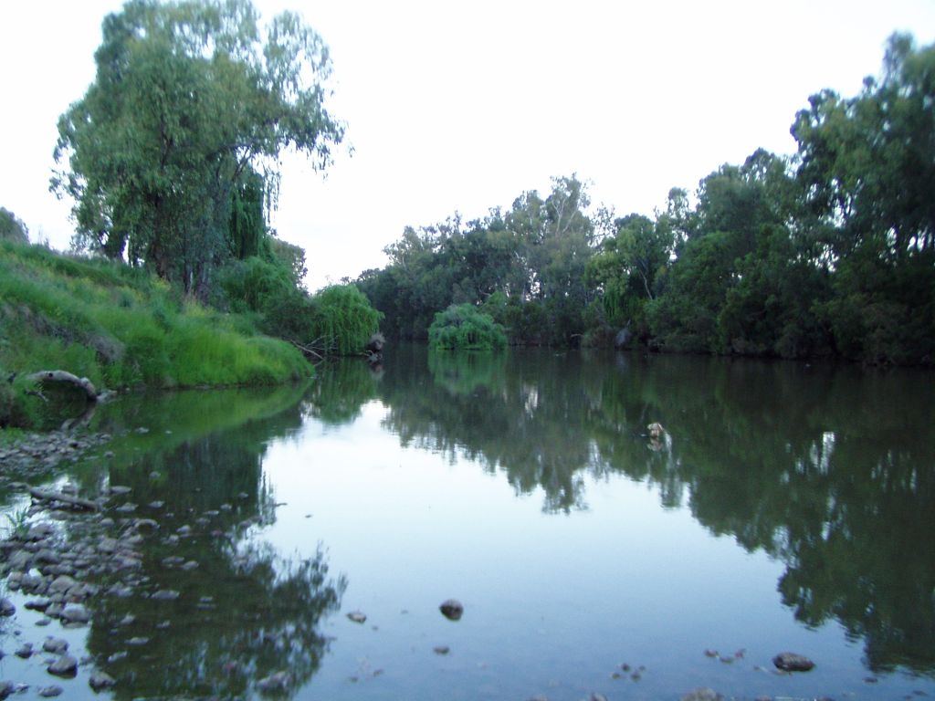
watershed = 26,588 km² [cite web |url=http://www.anra.gov.au/topics/land/carbon/nsw/basin-gwydir-river.html |title=Landscape - carbon, nutrients, water and productivity - Gwydir River |accessdate=2008-04-30 |format= |work=Australian Natural Resource Atlas ] The Gwydir River is a large inland river in the northern part of theAustralia n state ofNew South Wales .The river rises on the southern part of the Northern Tablelands near the town of
Uralla , and flows about 668km (415 miles) generally north west and then west onto the plains where it eventually joins the Barwon River. It passes the towns of Bundarra,Bingara , Gravesend andMoree . Moree itself is situated on theMehi River - a branch of the Gwydir River that divides from the main Gwydir River upstream of Moree. TheCopeton Dam on the Gwydir River stores water for towns, stock, domestic use and irrigation. The Gwydir River below Copeton dam, provides some of the wildest whitewater rafting available in Australia. A lot of irrigatedcotton is grown near Moree, as well as many other crops, livestock and agricultural enterprises.Explorer
Allan Cunningham crossed the river at Gravesend in1827 and named it after his patron, Lord Gwydir, who took his title fromGwydir Castle inWales . The Commonwealth ElectoralDivision of Gwydir , which was created in 1901 and will cease to exist at the 2007 federal election, is named for the Gwydir River. In Australia the name is pronounced to rhyme with "wider," whereas the Welsh name is pronounced roughly "Gwidd-eer."The Gwydir River splits into two anabranches west of Moree - the "Big Leather Watercourse" is the southern channel and the "Gingham Channel" is the northern branch. The Gingham Channel flows west, joining the Ballone Creek before it flows into the Big Leather Watercourse. The Big Leather watercourse then joins the Mehi River to the south. The Mehi River joins the Barwon River near the township of Collarenebri.
Before the construction of Copeton Dam and much diversionary work, the Gwydir River flowed into the Gingham and Lower Gwydir Wetlands.
The iron lattice bridges crossing the Gwydir River at Bundarra and Bingara are regarded as significant bridges of the colonial period. [Gwydir River Bridge at Bingara: http://www.rta.nsw.gov.au/cgi-bin/index.cgi?action=heritage.show&id=4301686]
The
Namoi River Snapping Turtle or Bell's turtle (Elseya belli) is a species of turtle found only in the upper reaches of theNamoi River , Gwydir River andMacdonald River s on theNorth West Slopes (New South Wales) ,Australia . [Threatened Species of the New England Tablelands & NW Slopes of NSW, NSW National Parks & Wildlife Service, 2003, ISBN 0 7313 6673 5]ee also
*
List of rivers of Australia Basin area 26,588 km²Basin countries: AustraliaReferences
External links
* [http://www.colc.co.uk/cambridge/gwydir/name.htm Origin of the name "Gwydir"]
Wikimedia Foundation. 2010.