Delmar Loop (St. Louis MetroLink)
- Delmar Loop (St. Louis MetroLink)
-
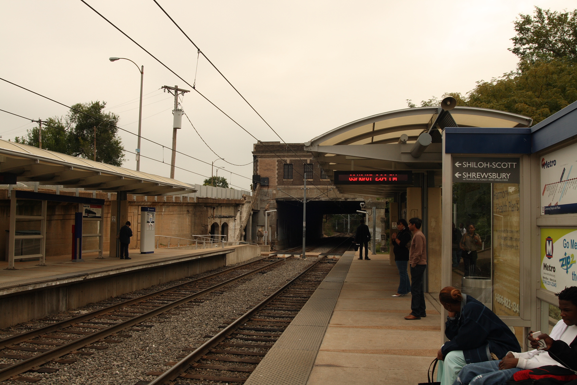
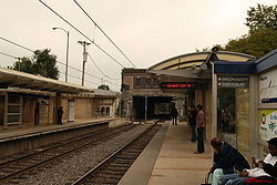
Delmar Loop is a St. Louis MetroLink Station. This station features 362 Park-Ride spaces. It is adjacent to the Delmar Loop entertainment district that straddles St. Louis and St. Louis County. Nearby attractions include the restored Tivoli Theater as well as the new Pageant Theater along with the numerous restaurants and shops that line Delmar Boulevard. Directly adjacent to the stop is the Washington University North Campus.
Bus connections
MetroBus
- 2 WUSTL - RED
- Green Line Shuttle
- 16 City Limits
- 91 Olive
- 97 Delmar
Trolley
There will be also a station for the Delmar Loop Trolley. It will travel along Delmar Boulevard to the Loop.
External links
Coordinates: 38°39′21″N 90°17′40″W / 38.655733°N 90.294574°W / 38.655733; -90.294574
Categories:
- MetroLink stations in St. Louis, Missouri
- Railway stations opened in 1993
- Red Line (St. Louis MetroLink)
- Stations along Wabash Railroad lines
- Delmar Loop Trolley
- Bi-State Development Agency stubs
Wikimedia Foundation.
2010.
Look at other dictionaries:
Delmar Loop Trolley — An ex Milan Peter Witt streetcar restored and running in San Francisco with its original colors Overview Type Streetcar … Wikipedia
Delmar Loop — Pin Up Bowl is a bowling alley located in the east section of the Loop The Delmar Loop is an entertainment, cultural and restaurant district in University City, Missouri and the ajoining western edge of St. Louis, Missouri. Most of its… … Wikipedia
St. Louis MetroLink — Infobox Public transit name = St. Louis MetroLink imagesize = 100px locale = St. Louis metropolitan area transit type = Light rail began operation = July 31, 1993 system length = 46 mi (74 km) lines = 2 stations = 37 ridership = 67,684 (FY 2007)… … Wikipedia
University City-Big Bend (St. Louis MetroLink) — Infobox Station name=University City–Big Bend image size=250px image caption= address=7000 Forest Park Parkway St. Louis, Missouri 63130 line=St. Louis MetroLinkrail color box|system=STML|line=Shrewsbury other= platform=Side platforms tracks=… … Wikipedia
St. Louis MetroLink — 38° 37′ 32″ N 90° 13′ 15″ W / 38.62565, 90.22073 … Wikipédia en Français
MetroLink (St. Louis) — Not to be confused with Metrolink (Southern California). MetroLink A view of the MetroLink system passing through Bellevil … Wikipedia
Washington University in St. Louis — Infobox University name = Washington University in St. Louis image size = 250px latin name = Universitas Washingtoniana motto = Per veritatem vis mottoeng = Strength through truth established = February 22, 1853 type = Private calendar = Semester … Wikipedia
Streetcars in St. Louis, Missouri — A map of streetcar routes in St. Louis in the mid 20th century Streetcars in St. Louis, Missouri operated as part of the transportation network of St. Louis from the middle of the 19th century through the early 1960s. During the first forty years … Wikipedia
MetroBus (St. Louis) — MetroBus Slogan Connecting People With Places Found … Wikipedia
Memorial Drive (St. Louis) — Memorial Drive outlined in red runs by the Arch Grounds on both sides of I 70. Memorial Drive runs north south in Downtown St. Louis, Missouri. It is between the city s central business district and the grounds of the Jefferson National Expansion … Wikipedia

 0%
0%