La Mauricie National Park

La Mauricie National Park

Infobox_protected_area | name = La Mauricie National Park
iucn_category = II


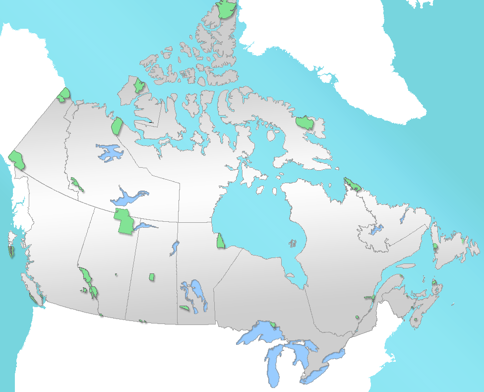
caption = Location of "La Mauricie National Park" in Canada
locator_x = 210
locator_y = 183
location = Canada
nearest_city = Shawinigan, Quebec
lat_degrees = 46
lat_minutes = 48
lat_seconds = 29
lat_direction = N
long_degrees = 72
long_minutes = 51
long_seconds = 22
long_direction = W
area = 536 km²
established = 1970
visitation_num =
visitation_year =
governing_body = Parks Canada

La Mauricie National Park ( _fr. Parc national de la Mauricie) is located in the Laurentian mountains in the Mauricie region of Québec, Canada. It covers 536 km² in the southern Canadian Shield region bordering the Saint Lawrence lowlands. The park contains 150 lakes and many ponds. The forests in this region were logged from the middle of the 19th century to the early 20th century. The park's forests have regrown and contain a mixture of conifers and mixed deciduous trees.

Wildlife in the park includes moose, black bears, beavers and otters. It supports a small number of wood turtles, rare in Canada. The park is a popular location for camping, canoeing and kayaking.

The park is named after the nearby Saint-Maurice River to the east of the park. The Matawin River flows along the west and north borders of the park.

ee also

*National Parks of Canada
*List of National Parks of Canada
*List of Quebec national parks

External links

* [http://www.pc.gc.ca/pn-np/qc/mauricie/index_E.asp Official Site at Parks Canada]
* [http://www.tourismemauricie.com Tourisme Mauricie] Regional tourist office
* [http://www.vinc3nt.com/Parc/html/in_english.html Hundred of pictures of in and around La Mauricie National Park]


Wikimedia Foundation. 2010.

Игры ⚽ Нужно решить контрольную?

Look at other dictionaries:

  • La Mauricie National Park — Der La Mauricie Nationalpark (Engl. La Mauricie National Park) ist ein kanadischer Nationalpark in den laurentinischen Bergen in der Provinz Québec (Ostkanada). Der 1970 gegründete Park hat eine Fläche von 536 km² und gehört geologisch zum… …   Deutsch Wikipedia

  • La Mauricie National Park — geographical name reservation SE Canada in S Quebec …   New Collegiate Dictionary

  • Riding Mountain National Park — Riding Mountain Nationalpark Im Riding Mountain Nationalpark …   Deutsch Wikipedia

  • Elk Island National Park — Elk Island Nationalpark Bison im Elk Island Nationalpark …   Deutsch Wikipedia

  • Pacific Rim National Park — Pacific Rim Nationalpark Wickaninnish Beach, Long Beach Unit …   Deutsch Wikipedia

  • Mount Revelstoke National Park — Mount Revelstoke Nationalpark Feuchtwiese im Hochland des Parks …   Deutsch Wikipedia

  • Prince Albert National Park — 53.939921368592 106.325683593757Koordinaten: 53° 56′ 24″ N, 106° 19′ 32″ W Der am 24. März 1927]eröffnete Prince A …   Deutsch Wikipedia

  • Mount Revelstoke National Park — IUCN Category II (National Park) …   Wikipedia

  • Gulf Islands National Park — Der Gulf Islands Nationalpark (Engl. Gulf Islands National Park Reserve ist der 40. Nationalpark in Kanada. Er wurde am 9. Mai 2003 zum Nationalpark erklärt und befindet sich in der Provinz Britisch Kolumbien (Westkanada) mit einer Fläche von 33… …   Deutsch Wikipedia

  • Mont-Tremblant National Park — (French) Parc national du Mont Tremblant IUCN Category II (National Park) …   Wikipedia

Share the article and excerpts

Direct link
Do a right-click on the link above
and select “Copy Link”