- Sarai Alamgir
-
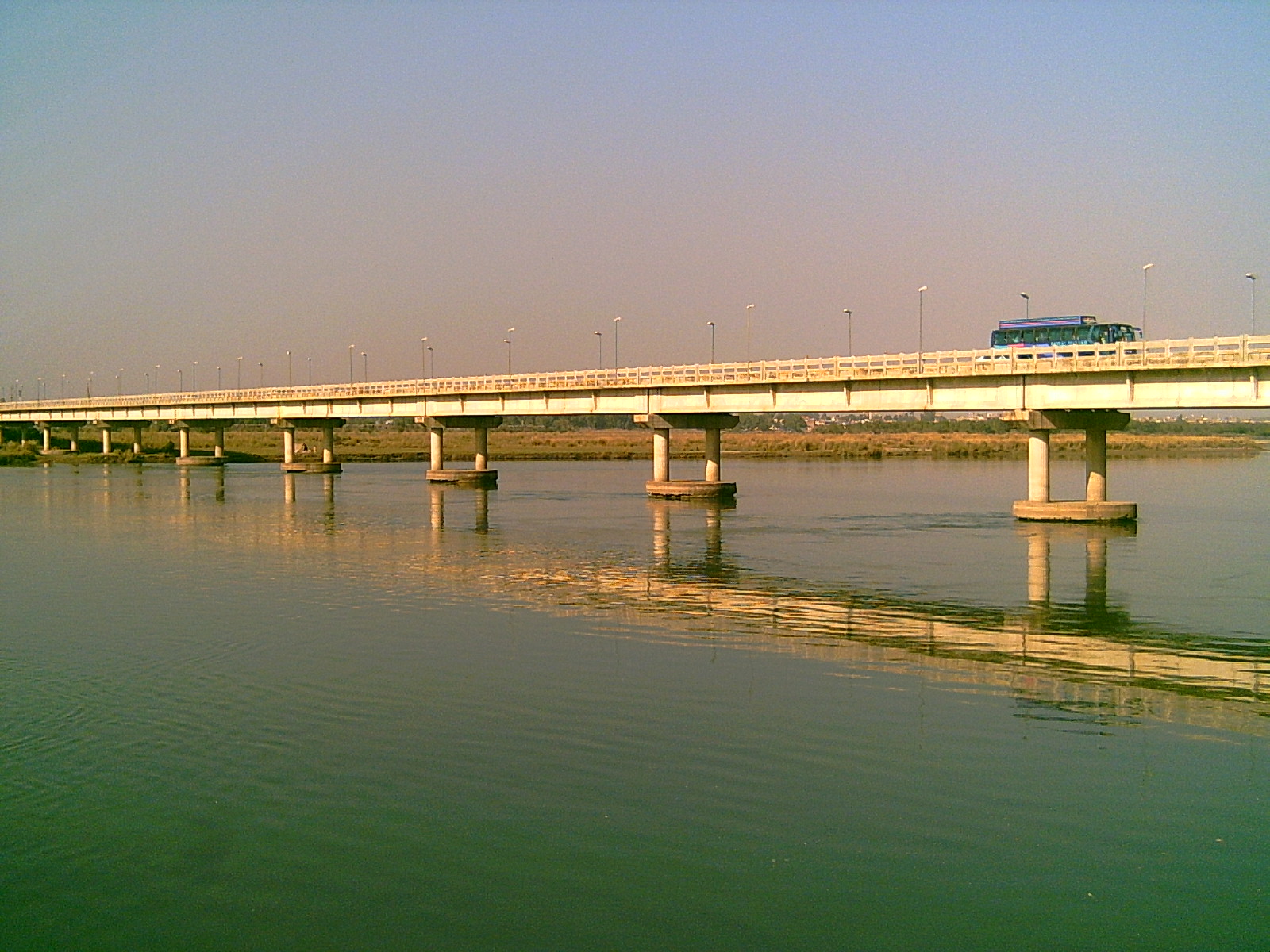
Sarai Alamgir The River Jhelum and the bridge from Sarai Alamgir side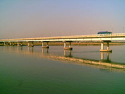 Location in Pakistan
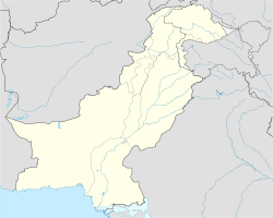
 Sarai Alamgir
Coordinates: 32°54′N 73°45′E / 32.9°N 73.75°ECoordinates: 32°54′N 73°45′E / 32.9°N 73.75°E Country  Pakistan
Region Punjab District Gujrat District Towns 4 Union councils ? Government - Nazim - Naib nazim Population - Total 175, 288 (as per DCR 1,998). Time zone PST (UTC+5) - Summer (DST) PDT (UTC+6) Sarai Alamgir (Urdu: سرائے عالمگیر) (pop. 175, 288 (as per DCR 1998) is the chief town of the tehsil of the same name. It is part of Gujrat district in the north of Punjab province. The town is located on the eastern bank of the Jhelum River across from the larger town of Jhelum. East of the town is the Upper Jhelum Canal.
Contents
Geography and climate
Sarai is located at 32°54′00″N 73°45′00″E / 32.9°N 73.75°E (32.900000, 73.750000) and lies at an altitude of 232 metres (763 ft) above sea-level.
The district as a whole has a moderate climate. In summer, temperatures can reach 45°C, but the hot spells are comparatively short. The winter months are very pleasant with temperatures rarely falling below 2°C. Sarai Alamgir is located in the south of Jhelum city across the river Jhelum. To the west of Sarai is the Bhimber city and in south is Lalamusa.
History
The ancient history of the region has seen it participate in the Indus Valley Civilization and the Gandhara Civilization. At a later date, the Battle of the Hydaspes took place nearby, between the armies of Alexander the Great and the Great King Porus.
In olden days people of influence would build a Sarai which were caravan stations and rest houses for travelers. A typical sarai would consist of a drinking well and a praying area along with a resting place for people.
The actual Sarai was founded by the Mughal emperor Aurangzeb because of its strategic location on the Grand Trunk Road and the Jhelum River as well as its proximity to Kashmir. Over time the sarai developed into a convenient town for adjoining village populations.
Sarai gained prominence when the King George V Royal Indian Military School was established on March 3, 1922, one of four such cadet schools in British India to benefit the sons of members of the Royal Indian Army.
The college is now known as the Military College Jhelum.
- See also:
Transport
The nearest international airport is at Rawalpindi, about 127 km (79 mi) away. However, there are good transport links including a railway station, the Grand Trunk Road, the Jhelum River and the Upper Jhelum Canal.
- See also: Transport in Pakistan
Sites of interest
The town is a historic crossroads between the ancient Grand Trunk Road and the Jhelum River. Nearby are the site of the Battle of the Hydaspes, the Alexandrian city of Bukephala or Bucephala and the huge Rohtas Fort. Shahi mousque is also situated in sarai alamgir. it is an historical mousque.Build by the aurangzeb alamgir
- See also: Dalyala
Villages of Tehsil Sarai Alamgir
The major villages of Tehsil Sarai Alamgir are Khohar, Khambi, Puran, Gurrah Jattan, Bhalwal Gharbi, Bhowanj, Qasba Karyali, Baghnager, Nukhian, Mumazpur, Dandi Besa Mehkalan Mehkhurd, Chak Ghania (chaper), Harchahar Kotian (Kotian), Aurangabad, Masoom Pur, Harchaal, Sadat Pur, Bhaghoshah pur, Dari, Kotha, Buna gurah , Shakreel Shareef, Gorian, Hattar, Ghang, Damo chak, Piran Boo, Mandi Bhalwal Dandi Nazam, Dandi Bazar, Bakool, Dhok, Thel, Nakka Bhagali, Rahman Pur, Buna Gurah Bhumbla Buna Masoom Pur, SHah Goora, Dak Jattan, Dak Chibaan, Jugu Haed and many other small towns.
External references
Categories:- Populated places in Gujrat District

Wikimedia Foundation. 2010.