- Cass Corridor
Infobox Settlement
name = Cass Corridor
official_name =
other_name =
native_name =
nickname =
settlement_type = Neighborhood of Detroit
total_type =
motto =
imagesize =
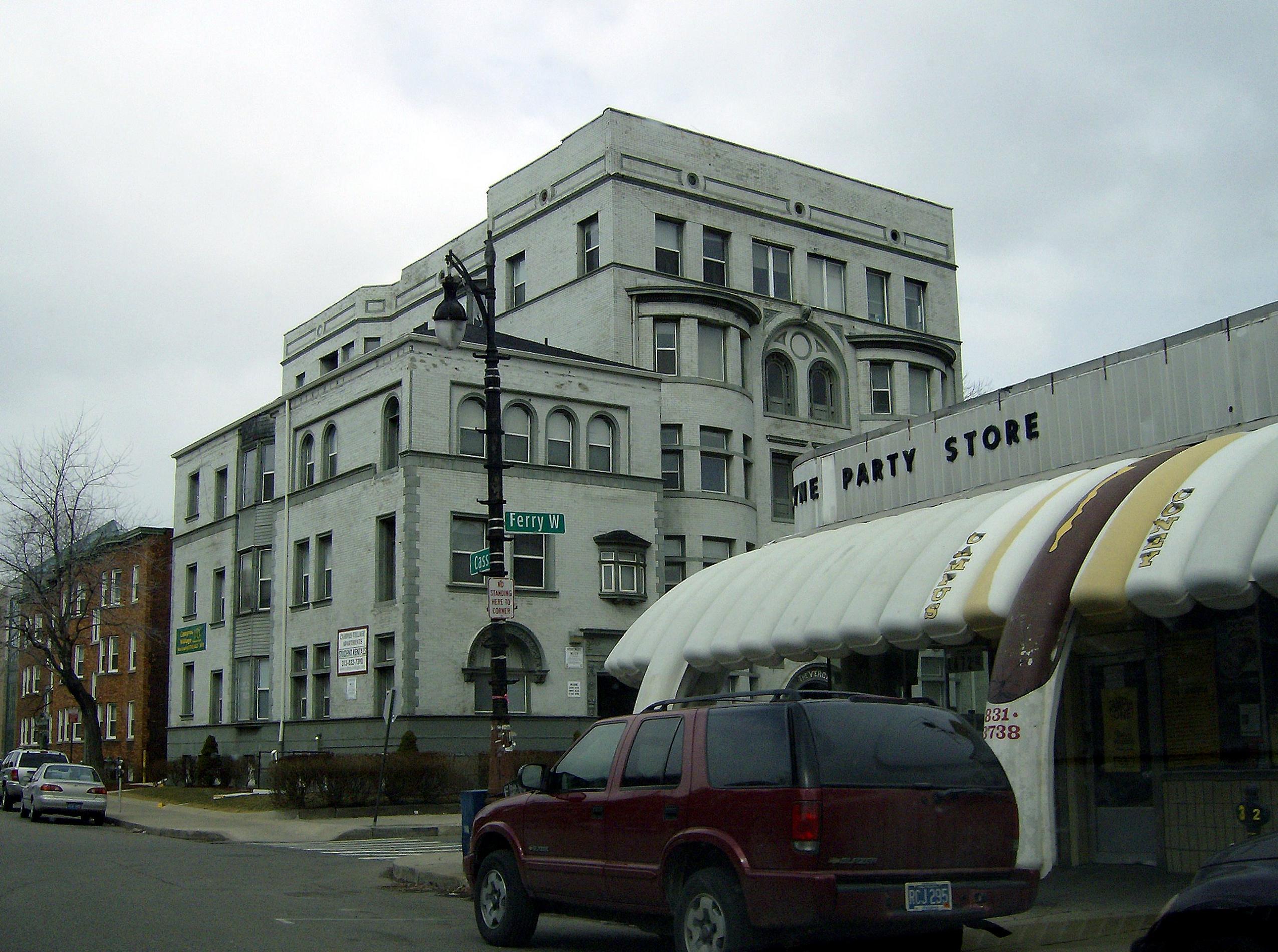
image_caption = Corner of Cass and Ferry, showing Victorian apartments.
flag_size =
image_
seal_size =
image_shield =
shield_size =
image_blank_emblem =
blank_emblem_type =
blank_emblem_size =
mapsize =
map_caption =
mapsize1 =
map_caption1 =
image_dot_
dot_mapsize =
dot_map_caption =
dot_x = |dot_y =
pushpin_
pushpin_label_position =
pushpin_map_caption =
pushpin_mapsize =
subdivision_type = Country
subdivision_name =United States
subdivision_type1 = State
subdivision_name1 =Michigan
subdivision_type2 = County
subdivision_name2 = Wayne
subdivision_type3 = City
subdivision_name3 = Detroit
seat_type =
seat =
parts_type =
parts_style =
parts =
p1 =
p2 =
government_footnotes =
government_type =
leader_title =
leader_name =
leader_title1 =
leader_name1 =
established_title =
established_date =
area_magnitude =
unit_pref =
area_footnotes =
area_total_km2 =
area_land_km2 =
area_water_km2 =
area_total_sq_mi =
area_land_sq_mi =
area_water_sq_mi =
area_water_percent =
elevation_footnotes =
elevation_m =
elevation_ft =
elevation_max_m =
elevation_max_ft =
elevation_min_m =
elevation_min_ft =
population_as_of =
population_footnotes =
population_note =
population_total =
population_density_km2 =
population_density_sq_mi =
timezone = Eastern Standard Time (North America)
utc_offset = -5
timezone_DST = Eastern Daylight Time (North America)
utc_offset_DST = -4
coor_pinpoint =
coordinates_type =
coordinates_display = display=inline,title
latd=42 |latm=21 |lats=48 |latNS=N
longd=83 |longm=04 |longs=13 |longEW=W
postal_code_type =
postal_code =
area_code =
website =
footnotes =The Cass Corridor, in
Detroit, Michigan , is carved out of the shell regions of what was once a thriving downtown area. The corridor's main street isCass Avenue , which runs parallel with Woodward Avenue, a main Detroit artery running north towards suburban neighborhoods. Though Cass runs from Congress Street, ending a few miles further north at West Grand Boulevard, the Cass Corridor generally is defined as betweenI-75 at its southern end andWayne State University to the north, and stretches from Woodward to the east and Third Street to the west.Significant landmarks include the
Detroit Masonic Temple (the world's largest building of its kind [http://themasonic.com/history.html Masonic Temple Of Detroit- History ] ] ),Cass Technical High School and the Metropolitan Institute for High Technology are all located along Cass.Culturally, the Cass Corridor is a significant district. "
Creem ", which billed itself as "America's Only Rock 'n' Roll Magazine," had its headquarters in the area. The student population contributes to thebohemian atmosphere in Cass Corridor. The artistic community has produced a number of significant artistsFact|date=July 2008.See also
*
List of places named for Lewis Cass References
External links
* [http://corridortribe.com Tribes of the Cass Corridor]
* [http://todayinart.com/tag/comic/ A 1982 Cass Coridor Artist]
Wikimedia Foundation. 2010.
