- Mount Taylor (Australian Capital Territory)
-
For other uses of "Mount Taylor", see Mount Taylor.
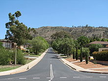
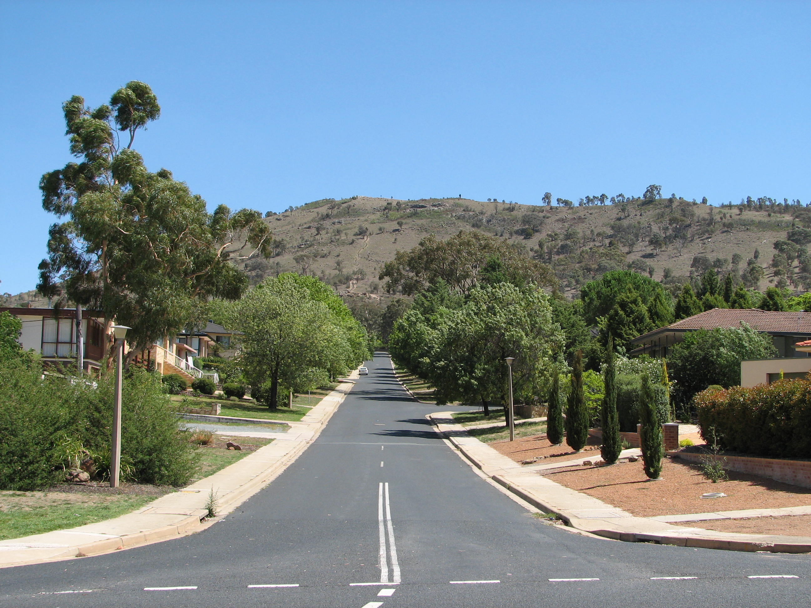
 Mount Taylor viewed from Red Hill.
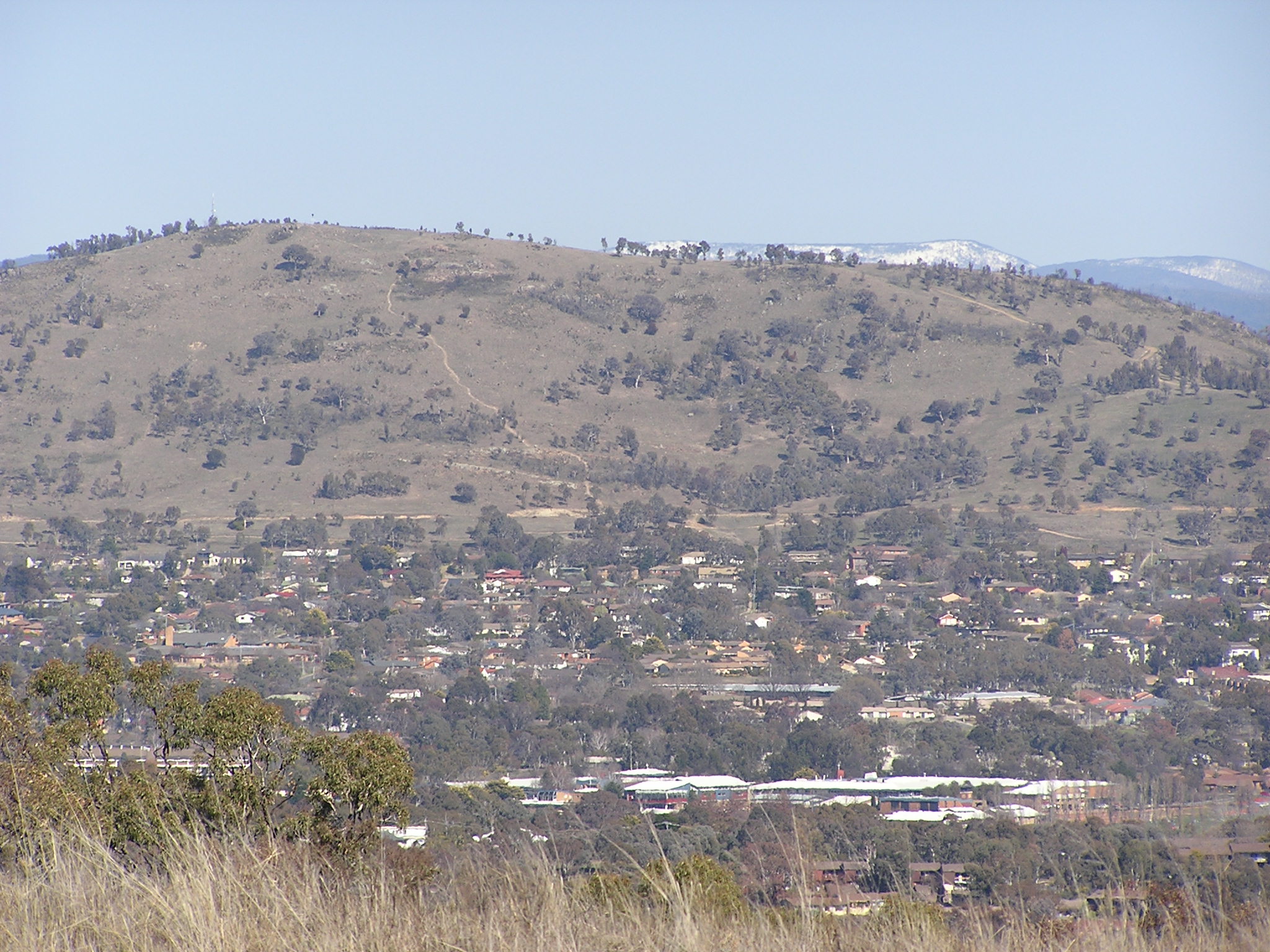
 Mount Taylor viewed from Pearce.
Mount Taylor is a prominent hill located between the Woden Valley, Weston Creek district and Tuggeranong Valley, in Canberra, Australia. Mount Taylor is part of the Canberra Nature Park. The hill is 856 metres above sea level. It is surrounded by the suburbs of Kambah, Fisher, Waramanga, Chifley, Pearce, and Torrens. There are walking tracks to the peak but no road access.
Contents
History
Mount Taylor was named after James Taylor, an early squatter in the district prior to 1829. An early map entitled Survey of part of the Morombidgee and Country South of Lake George by Surveyor White shows Taylor's huts close to the site of Yarralumla homestead. Taylor was a son-in-law of Colonel George Johnston who commanded the New South Wales Corps, which deposed Governor William Bligh during the Rum Rebellion of 1808.[1]
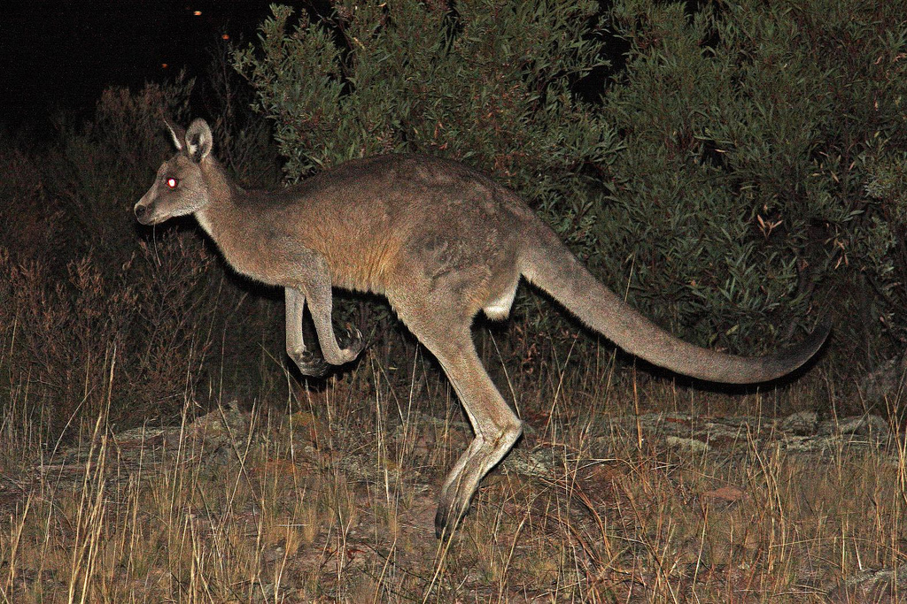
Wildlife
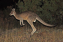 Kangaroo on Mt. Taylor
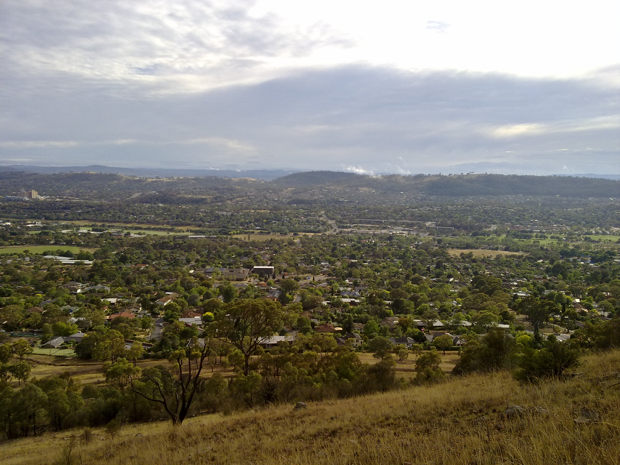
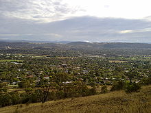 Looking north east from Mount Taylor, towards Garran and O'Malley.
Mount Taylor is listed on the Register of the National Estate as the most prominent landmark in southern Canberra, and together with nearby Oakey Hill, Wanniassa Hills and Isaacs Ridge, is valued as a key part of the landscape of Canberra. It contains one of the most significant populations known of the nationally endangered Pink-tailed Legless Lizard, Aprasia parapulchella and a nationally endangered plant, the Small Purple-pea Swainsona recta. It also provides examples of two nationally endangered communities - Eucalyptus melliodora — E blakelyi woodland community, and the lowland temperate grassland community - plus a regionally significant vegetational transitional stage, between dry sclerophyll forest and woodland.[2]
A Mount Taylor park care group was established in 1989. It assists in weed removal, monitors the bird population and provides guides to the reserve. Over 85 species of birds have been identified on the hill and nearby.
Geology and geography
Mount Taylor is elongated in the north–northwest direction. This is parallel with the general direction of the Murumbidgee River. A ridge extends northwards to Oakey Hill. This separates the Woden Valley from Weston Creek. Another ridge extends from the south east and curves around to the east forming Farrer Ridge. Drainage from the east goes into Yarralumla Creek in the Woden Valley. On the west and south side runoff goes into Village Creek in Kambah.
The rocks on Mount Taylor are from the Silurian age from 420 million years ago. They are acid volcanic rocks. On the top and western sides is a rock called ignimbrite. This was formed by massive volcanic explosions that ejected hot volcanic particles in the air that then fell to the ground. This collection of rocks is known as the Laidlaw Volcanics. On the northern slopes and lower eastern slopes the rock is rhyodacite. This is from the Deakin Volcanics. There is also a sill of porphyry intruded into the volcanic rocks on the east and south slopes. The rocks dip to the south west at an angle of 20°. This dip is perpendicular to the long extension of the mountain, showing that it is the strata in the rock that has determined the shape of the mountain.[3]
Human changes
The Tuggeranong Parkway forms a boundary to the nature park in the northwest. Sulwood Drive forms the southwest and southern boundary of the park. In the east, houses have backyards backing onto the park in Torrens, Pearce, and Chifley. Waldock Street provides access to the north end of the mount.
Major high voltage power lines run around the west and south of the hill connecting the Lyons and Wanniassa substations. There is a horse riding trail along the back of Woden Valley, connecting to the horse holding paddock on the southeast ridge of Mount Taylor. There are several water supply reservoirs on the hill behind the suburbs.
References
- ^ "The Lanyon Saga" Moore, B., 1982, ACT ISBN 0-9594649-2-1, Page 6
- ^ "Entry AHD101681". Australian Heritage Database. Department of Sustainability, Environment, Water, Population and Communities. http://www.environment.gov.au/cgi-bin/ahdb/search.pl?mode=place_detail;place_id=101681.
- ^ Henderson G A M and Matveev G, Geology of Canberra, Queanbeyan and Environs 1:50000 1980
External links
Coordinates: 35°22′19″S 149°04′22″E / 35.37194°S 149.07278°E
Categories:- Parks in Canberra
- Mountains of the Australian Capital Territory
- Volcanoes of the Australian Capital Territory
- Silurian volcanism
Wikimedia Foundation. 2010.