Karragullen, Western Australia
- Karragullen, Western Australia
Infobox Australian Place | type = suburb
name = Karragullen
city = Perth
state = wa

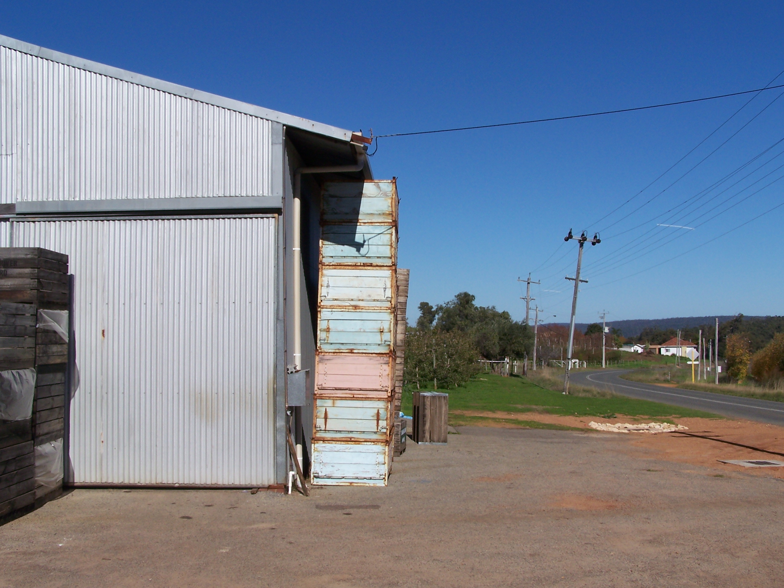
caption = A fruit shed and orchard in Karragullen.
lga = City of Armadale
postcode = 6111
pop = 250 (2006 census)
area =
est =
propval =
stategov = Darling Range
fedgov = Canning
dist1 = 33
location1= Perth
dist2 = 16
location2= Armadale
near-nw = Martin
near-n = Canning Mills
near-ne = Pickering Brook
near-w = Roleystone
near-e = Illawarra
near-sw = Ashendon
near-s = Ashendon
near-se = Illawarracoord|-32.091|116.122|type:city(250)_region:AU-WA_scale:50000|format=dms|display=title
Karragullen is a suburb of Perth, Western Australia, located within the City of Armadale. Its postcode is 6111.
Prior to 1949 it was a stopping place on the Upper Darling Range Railway.
The suburb is an agricultural area and is predominantly known as orchard country. Many of the orchards were developed by Italian migrants in the 1930s and 1940s and these have subsequently been taken over by their 1st and 2nd generation Australian descendants.
The Karragullen area borders the Canning Dam reservoir zone and borders the start of bushland in the East-South-East direction from Perth. It neighbours Pickering Brook to the east and Roleystone to the west.
Once a year Karragullen hosts a field day that showcases the local industries and its practises. The event has been running for over 20 years.
December 2004 saw a fire ravage most of the bushland and some areas of orchard. Fire fighters and locals rallied together to battle the blaze that is believed to have been started by an arsonist.
Wikimedia Foundation.
2010.
Look at other dictionaries:
Roleystone, Western Australia — Infobox Australian Place | type = suburb name = Roleystone city = Perth state = wa caption = lga = City of Armadale area = 12.2 postcode= 6111 pop = 5,975 (2006 census) dist1 = 30 | dir1 = SE | location1=Perth dist2 = 8 | dir2 = NE |… … Wikipedia
Ashendon, Western Australia — Infobox Australian Place | type = suburb name = Ashendon city = Perth state = wa caption = lga = City of Armadale postcode = 6111 est = 2006 pop = area = propval = stategov = Darling Range fedgov = Canning near nw = Roleystone near n = Roleystone … Wikipedia
Pickering Brook, Western Australia — Infobox Australian Place | type = suburb name = Pickering Brook city = Perth state = wa caption =Autumn colours of orchards in Pickering Brook lga = Shire of Kalamunda postcode = 6076 pop = 737 (2006 census)Census 2006… … Wikipedia
List of major roads in Perth, Western Australia — This page details the major roads in the greater Perth conurbation, in Western Australia.A list of the routes (most involving multiple roads) is available at List of road routes in Perth, Western Australia.Freeways in Perth (by road route… … Wikipedia
List of road routes in Perth, Western Australia — This is a list of the road routes in Perth, Western Australia. A list of road routes in Rural Western Australia is available at List of road routes in rural and remote Western Australia.For a list of freeways, highways and roads, see List of… … Wikipedia
Mount Richon, Western Australia — Mount Richon Perth, Western Australia … Wikipedia
Champion Lakes, Western Australia — Champion Lakes redirects here. For the park in Canada, see Champion Lakes Provincial Park. See also: Champion Lakes Regatta Centre Champion Lakes Perth, Western Australia … Wikipedia
Mount Nasura, Western Australia — Mount Nasura Perth, Western Australia … Wikipedia
Canning Mills, Western Australia — Infobox Australian Place | type = suburb name = Canning Mills city = Perth state = wa caption = lga = Shire of Kalamunda postcode = 6111 stategov = Kalamunda fedgov = Canning near nw = Orange Grove near n = Pickering Brook near ne = near w =… … Wikipedia
Mamarapha College — Established 1997[1] Type Private Director Gordon E. Stafford. Academic staff 3 … Wikipedia

