Rosemont (SEPTA Regional Rail station)
- Rosemont (SEPTA Regional Rail station)
Infobox Station
name=Rosemont
type=SEPTA regional rail
image_size=
image_caption=
address=
coordinates=
line=
other=
structure=
platform=2 side platforms
levels=
tracks=4
parking=
bicycle=
baggage_check=
passengers=
pass_year=
pass_percent=
pass_system=
opened=
closed=
rebuilt=
electrified=1915
ADA=
code=
owned=SEPTA
zone=3
former=
services=s-rail|title=SEPTA
mpassengers=
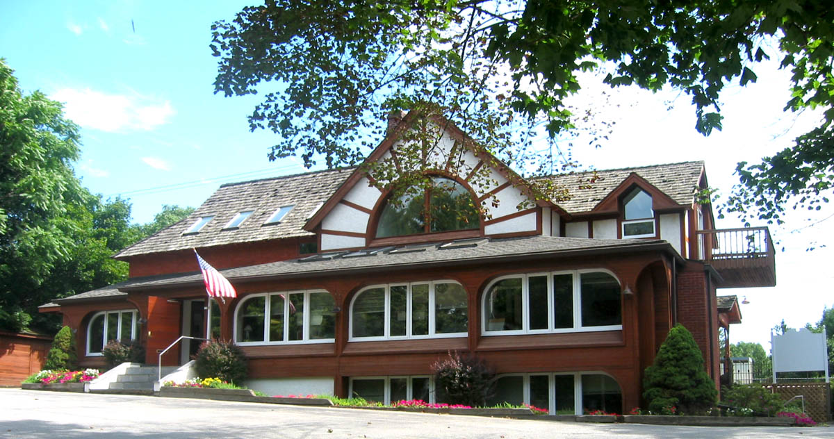
Rosemont Station is an above-ground commuter rail station located in the western suburbs of Philadelphia at Airdale & Montrose Aves, Rosemont, Pennsylvania 19010 [http://maps.google.com/maps?q=Airdale+%26+Montrose+Aves,+Rosemont,+PA&spn=0.020168,0.028049&hl=en] . It is served by most R5 Paoli-Thorndale trains.
The station building is occupied by a real estate broker's office.
The ticket office at this station is open weekdays 6:00 AM to 10:55 AM excluding holidays. There are 91 parking spaces at the station.
This station is in fare zone 3 and is 10.9 track miles from Suburban Station. In 2003, the average total weekday boardings at this station was 304.
External links
* [http://www.septa.org/maps/click_map/rosemont.html SEPTA - Rosemont Station]
Wikimedia Foundation.
2010.
Look at other dictionaries:
Crum Lynne, Pennsylvania — Unincorporated community … Wikipedia
Philadelphia Main Line — For other uses, see Main Line (disambiguation). Wayne Station on SEPTA s Paoli/Thorndale line after renovations in 2010 … Wikipedia
Pennsylvania Main Line — The Main Line is a collection of affluent towns in the western suburbs of Philadelphia named after the Main Line of the Pennsylvania Railroad (currently Amtrak s Keystone Corridor and SEPTA s R5 line). History The area comprising the Main Line… … Wikipedia
Delaware Valley — MSA Philadelphia … Wikipedia
Cheltenham Township, Montgomery County, Pennsylvania — Coordinates: 40°04′00″N 75°06′59″W / 40.0666667°N 75.11639°W / 40.0666667; 75.11639 … Wikipedia
Morton, Pennsylvania — Coordinates: 39°54′38″N 75°19′38″W / 39.91056°N 75.32722°W / 39.91056; 75.32722 … Wikipedia
Lower Merion Township, Pennsylvania — Geobox Township name = Lower Merion Township native name = other name = other name1 = category = Township image size = image caption = flag size = symbol = symbol size = nickname = motto = country = United States state = Pennsylvania region =… … Wikipedia
Media, Pennsylvania — Coordinates: 39°55′08″N 75°23′17″W / 39.91889°N 75.38806°W / 39.91889; 75.38806 … Wikipedia
Melrose Park, Pennsylvania — Coordinates: 40°03′42″N 75°07′55″W / 40.06167°N 75.13194°W / 40.06167; 75.13194 … Wikipedia