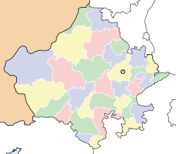
- Tikar, Rajasthan
-
Tikar — village — Coordinates 25°43′0″N 75°25′0″E / 25.716667°N 75.416667°ECoordinates: 25°43′0″N 75°25′0″E / 25.716667°N 75.416667°E Country India State Rajasthan District(s) Bhilwara Time zone IST (UTC+05:30) Area
• 351 metres (1,152 ft)
Codes-
• Vehicle • RJ-
Tikar is a village in Bhilwara district in the state of Rajasthan, India.
Geography
It is located at 25°43′0″N 75°25′0″E / 25.716667°N 75.416667°E at an elevation of 351 m above MSL.[1]
References
Categories:- Rajasthan geography stubs
- Villages in Bhilwara district
-
Wikimedia Foundation. 2010.


