- Overton Township, Bradford County, Pennsylvania
-
Overton Township,
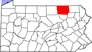
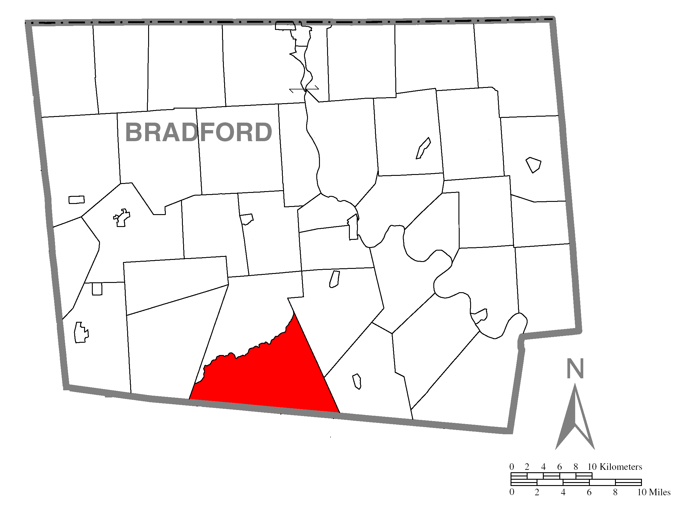
Pennsylvania— Township — Map of Bradford County with Overton Township highlighted Map of Bradford County, Pennsylvania
Country United States State Pennsylvania County Bradford Settled 1806 Incorporated 1853 Area – Total 47.0 sq mi (122.1 km2) Population (2000) – Total 187 – Density 4.0/sq mi (1.5/km2) Overton Township is a township in Bradford County, Pennsylvania, United States. The population was 187 at the 2000 census.
Geography
According to the United States Census Bureau, the township has a total area of 47.2 square miles (122.1 km²), of which, 47.0 square miles (121.7 km²) of it is land and 0.2 square miles (0.4 km²) of it (0.34%) is water.
Overton Township is bordered by Franklin Township to the north, Monroe and Albany Townships to the east, Sullivan County to the south and Leroy Township to the west.
Demographics
As of the census[1] of 2000, there were 187 people, 78 households, and 53 families residing in the township. The population density was 4.0 people per square mile (1.5/km²). There were 266 housing units at an average density of 5.7/sq mi (2.2/km²). The racial makeup of the township was 98.40% White and 1.60% Native American.
There were 78 households out of which 26.9% had children under the age of 18 living with them, 59.0% were married couples living together, 5.1% had a female householder with no husband present, and 30.8% were non-families. 24.4% of all households were made up of individuals and 14.1% had someone living alone who was 65 years of age or older. The average household size was 2.40 and the average family size was 2.85.
In the township the population was spread out with 19.8% under the age of 18, 3.7% from 18 to 24, 30.5% from 25 to 44, 28.9% from 45 to 64, and 17.1% who were 65 years of age or older. The median age was 44 years. For every 100 females there were 107.8 males. For every 100 females age 18 and over, there were 108.3 males.
The median income for a household in the township was $26,667, and the median income for a family was $31,250. Males had a median income of $33,750 versus $16,875 for females. The per capita income for the township was $13,727. About 16.0% of families and 12.1% of the population were below the poverty line, including none of those under the age of eighteen and 19.4% of those sixty five or over.
References
- ^ "American FactFinder". United States Census Bureau. http://factfinder.census.gov. Retrieved 2008-01-31.
Municipalities and communities of Bradford County, Pennsylvania Boroughs Alba | Athens | Burlington | Canton | Le Raysville | Monroe | New Albany | Rome | Sayre | South Waverly | Sylvania | Towanda | Troy | Wyalusing
Townships Albany | Armenia | Asylum | Athens | Burlington | Canton | Columbia | Franklin | Granville | Herrick | Leroy | Litchfield | Monroe | North Towanda | Orwell | Overton | Pike | Ridgebury | Rome | Sheshequin | Smithfield | South Creek | Springfield | Standing Stone | Stevens | Terry | Towanda | Troy | Tuscarora | Ulster | Warren | Wells | West Burlington | Wilmot | Windham | Wyalusing | Wysox
Unincorporated
communitiesBerrytown | Browntown
Coordinates: 41°38′00″N 76°37′59″W / 41.6333333°N 76.63306°W
Categories:- Populated places established in 1806
- Townships in Bradford County, Pennsylvania

Wikimedia Foundation. 2010.