- Ovalau (Fiji)
-
For the island in Tonga, see Ovalau (Vava'u) .
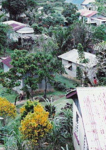
Ovalau (pronounced [oβaˈlau]) is the sixth largest island in Fiji's Lomaiviti Archipelago. Situated at 17.70° South and 178.8° East, (60 km north east from the national capital Suva and 20 km off the east coast of Viti Levu), the island is about 13 kilometers long and 10 kilometers wide. It covers a total area of 102.3 square kilometers and has a population of around 9,000, approximately half the Lomaiviti population. Levuka, Fiji's former capital, is the largest of 24 towns and villages on the island.
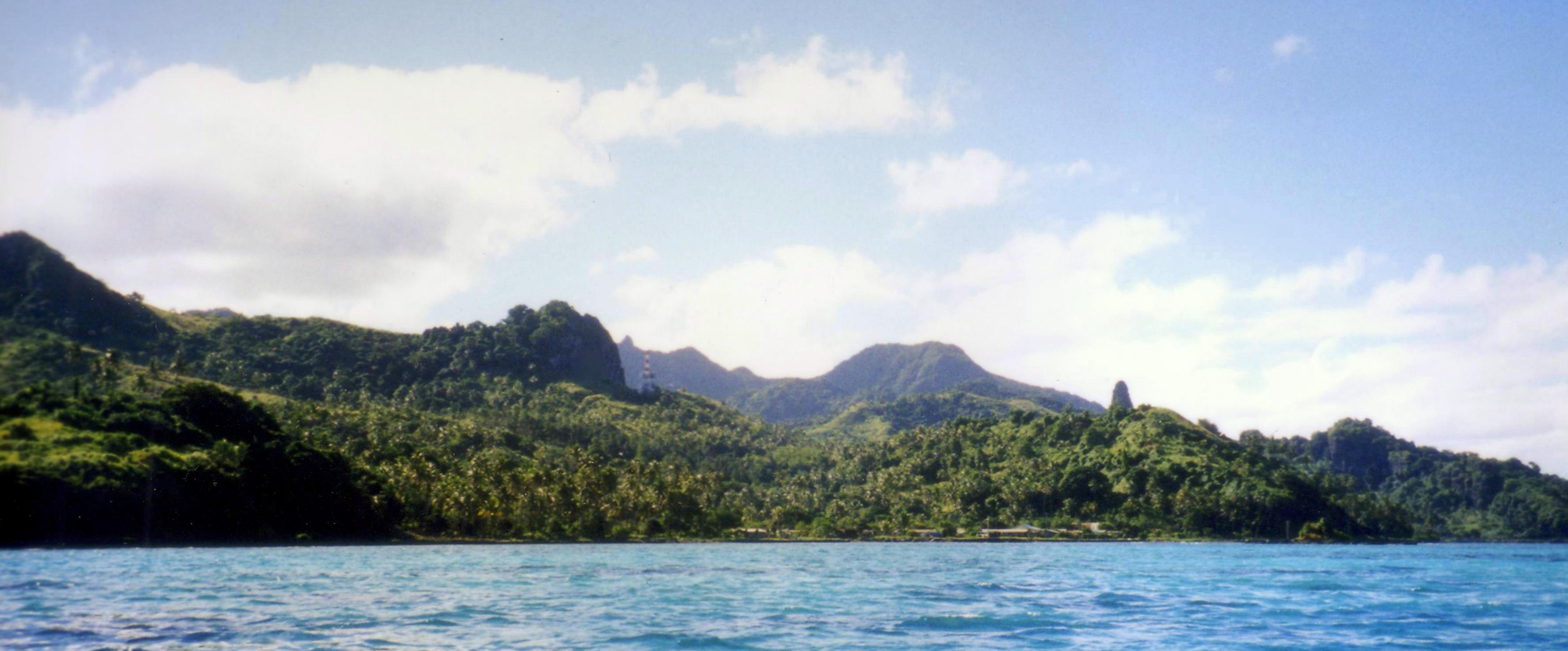
Ovalau is characterized by its rugged topography, with little flat land apart from the Lovoni Valley in the centre of the island. The island is an eroded volcanic crater with a narrow belt of flat to udulating country between the encircling lagoon and the steep crater sides. The highest peaks are Nadelaiovalau, with an altitude of 625 meters, in the east, and Tomuna, 526 meters, in the south.
Transport around Ovalau
There is one road which circles the island, however, between the villages of Rukuruku and Buresala the road is little more than a track, as travel between these points is not common, most traffic being directed from these two villages to Levuka. Levuka Airport, which handles twice-daily Air Fiji flights to and from Suva is located on the west of the island, next to the Bureta District School compound. There is one flight in the morning, and one in the evening, with only the evening service operating on Sundays. Flights cost around FJ$150 return.
Boat and ferry services also connect Ovalau to Viti Levu - the Patterson Brothers ferry company runs a service between Levuka, Buresala, Natovi, and Suva depending on the day.
Transport around the island is mainly by carrier - either pick-up trucks or lorries - with benches fixed down, and covered with tarpaulin. These carriers are not scheduled, so getting around the island can be quite difficult, unless you are travelling from Levuka. There is one bus service, which runs once daily from the west of Ovalau to Levuka in the morning, and returns at 5pm, and is mainly used by schoolchildren and PAFCO workers. Taxis are available for hire, though often travel past certain villages is refused - apart from to tourists - due to the condition of the roads (unsealed).
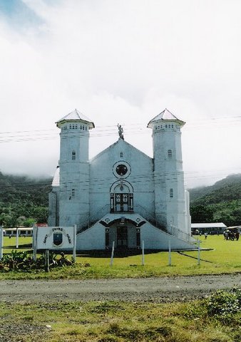
File:Sacred heart church levuka.jpgSacred Heart Church, Levuka, Ovalau.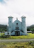 St John's Church, Ovalau.
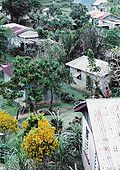 Lovoni Village, Ovalau.
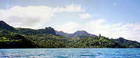 The south western side of Ovalau
External links
Coordinates: 17°41′17″S 178°47′26″E / 17.68806°S 178.79056°ELomaiviti Islands Islands of Fiji Principal islands Significant outliers Archipelagos Kadavu Group · Lau Islands · Lomaiviti Islands · Mamanuca Islands · Moala Islands · Ringgold Isles · Rotuma Group · Vanua Levu Group · Viti Levu Group · Yasawa IslandsCategories:- Islands of Fiji
- Lomaiviti
Wikimedia Foundation. 2010.