- Gouvy
-
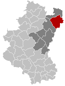
Gouvy Gouvy church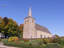 Location in Belgium
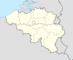
 Gouvy
GouvyCoordinates: 50°11′N 05°56′E / 50.183°N 5.933°E Country Belgium Region Wallonia Community French Community Province Luxembourg Arrondissement Bastogne Government – Mayor André Hubert (GOUVÎT) – Governing party/ies IC, GOUVÎT Area – Total 165.11 km2 (63.7 sq mi) Population (1 January 2010)[1] – Total 4,922 – Density 29.8/km2 (77.2/sq mi) Postal codes 6670-6674 Area codes 080 Website www.gouvy.be Map of Gouvy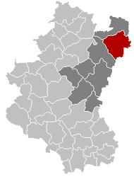
Gouvy is a Walloon municipality of Belgium located in the province of Luxembourg.
On 1 January 2007 the municipality, which covers 165.11 km², had 4,780 inhabitants, giving a population density of 29 inhabitants per km².
The municipality was created in 1977 from the amalgamation of the former municipalities of Beho, Bovigny, Cherain, Limerlé, and Montleban. Villages in the municipality include Baclain, Bistain, Brisy, Cherapont, Cierreux, Courtil, Deiffelt, Halconreux, Halonru, Honvelez, Langlire, Lomré, Ourthe, Rettigny, Rogery, Steinbach, Sterpigny, Vaux and Wathermal. The administrative headquarters are situated in Bovigny.
References
- ^ Population per municipality on 1 January 2010 (XLS; 221 KB)
External links
Arlon 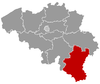
Bastogne Marche-en-Famenne Durbuy · Erezée · Hotton · La Roche-en-Ardenne · Manhay · Marche-en-Famenne · Nassogne · Rendeux · TennevilleNeufchâteau Bertrix · Bouillon · Daverdisse · Herbeumont · Léglise · Libin · Libramont-Chevigny · Neufchâteau · Paliseul · Saint-Hubert · Tellin · WellinVirton Chiny · Étalle · Florenville · Habay · Meix-devant-Virton · Musson · Rouvroy · Saint-Léger · Tintigny · VirtonCategories:- Municipalities of Luxembourg (Belgium)
- Belgian Luxembourg geography stubs


Wikimedia Foundation. 2010.